This time my annual adventure with Al Willner would take us to northern England to walk Roman Emperor Hadrian's Wall. Al had proposed the walk and it hit a lot of things I like....history, adventure, discovery, scenic environment, and, of course, hanging out with my friend. However, I was concerned about the physicality of walking everyday for 10 plus miles for eight days. I had never done more than an overnight walk. I had planned to prepare for the walk with increasingly long pooch walks. However, the best I ever did was a couple of around-Lake Gregory-2.6 mile walks.
(Will be updated with videos at some point......)
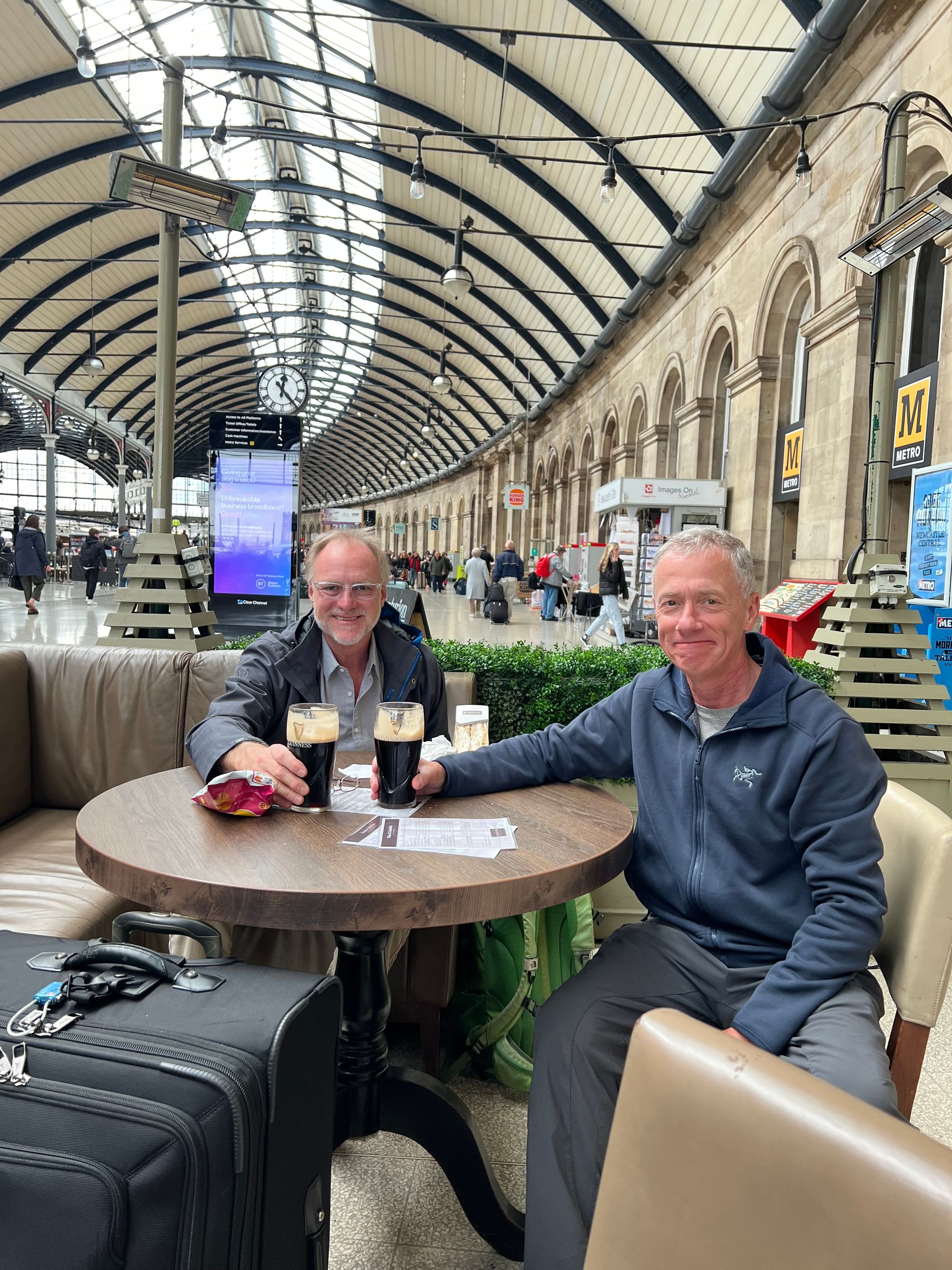
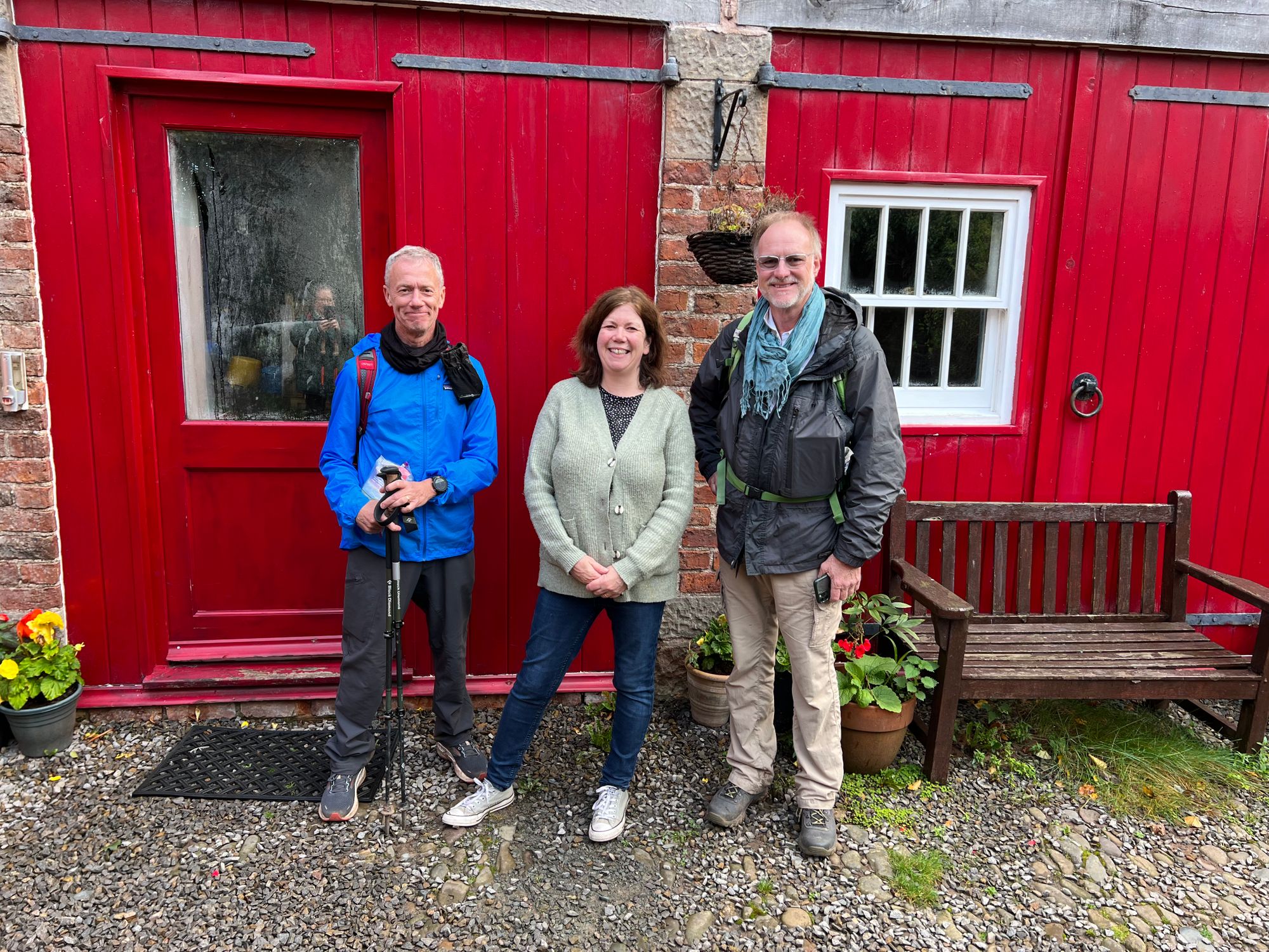
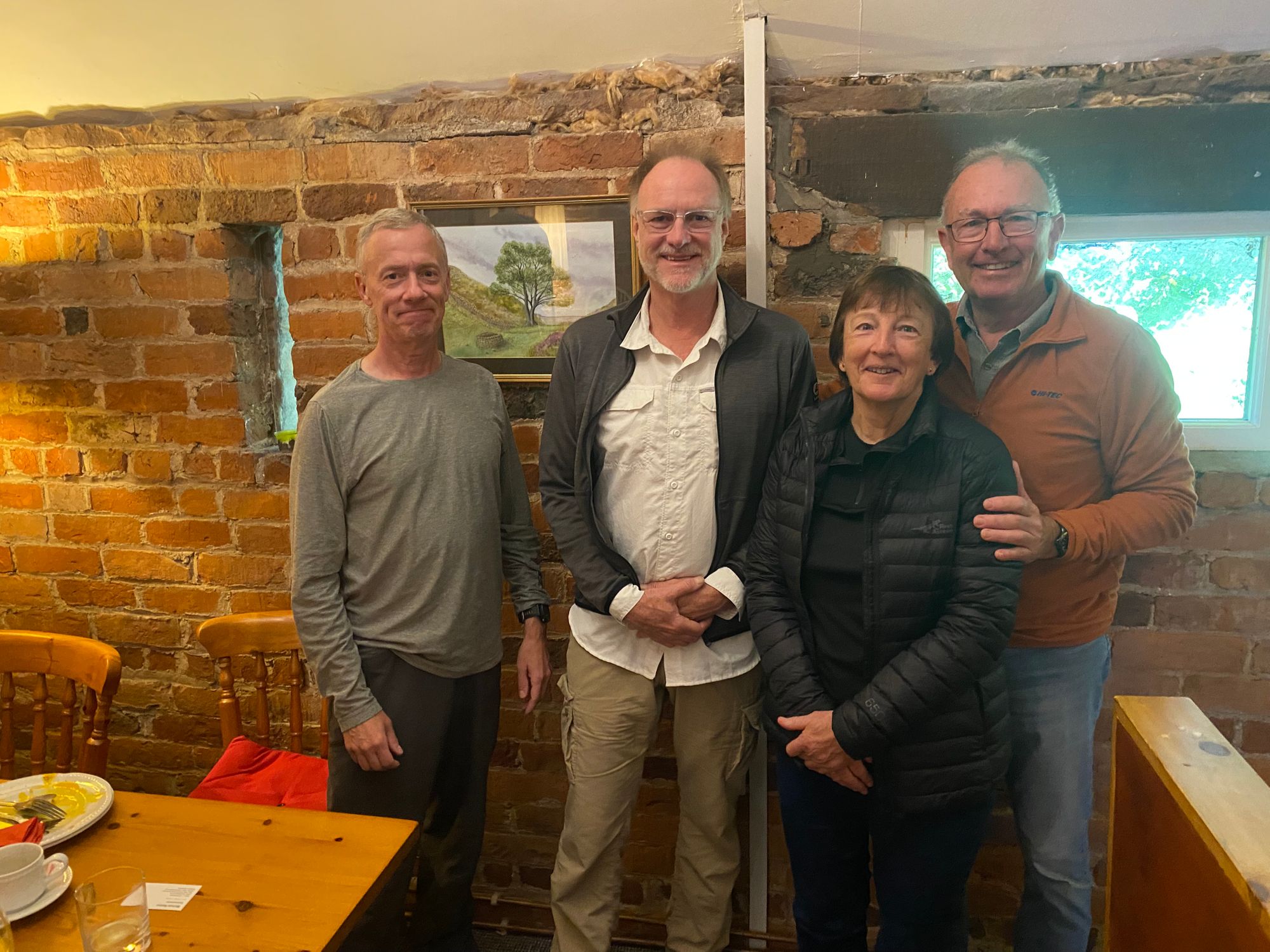
The plan was to meet up in Edinburgh and then spend a few days driving around Scotland before rendezvousing with Al's friend Tom Bickford and his wife Rebecca in Carlisle near the start of the walk. Half-way through the walk at Once Brewed, Rebecca's friend, Meghan, would join us to complete the walk.
Planning the Walk |
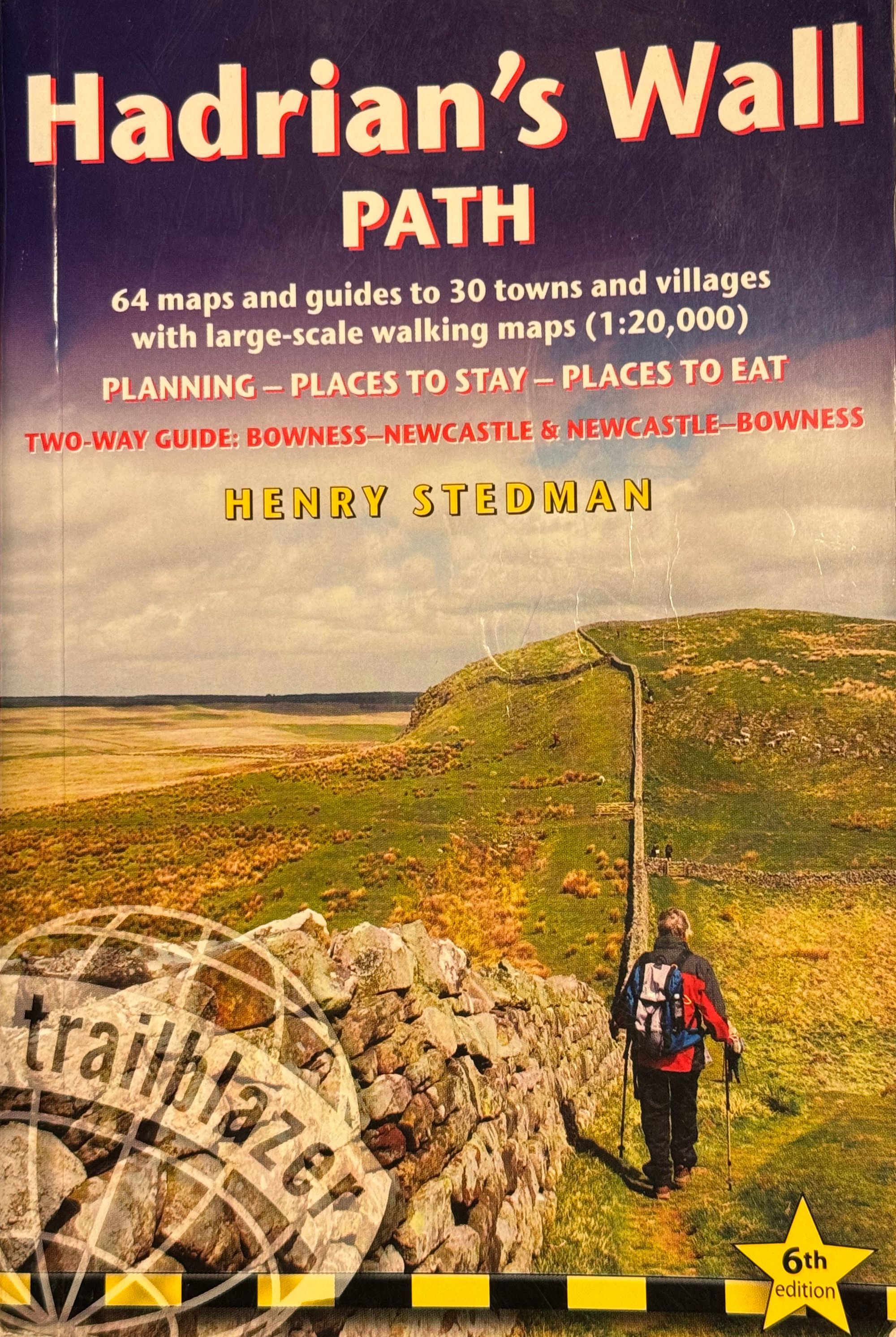
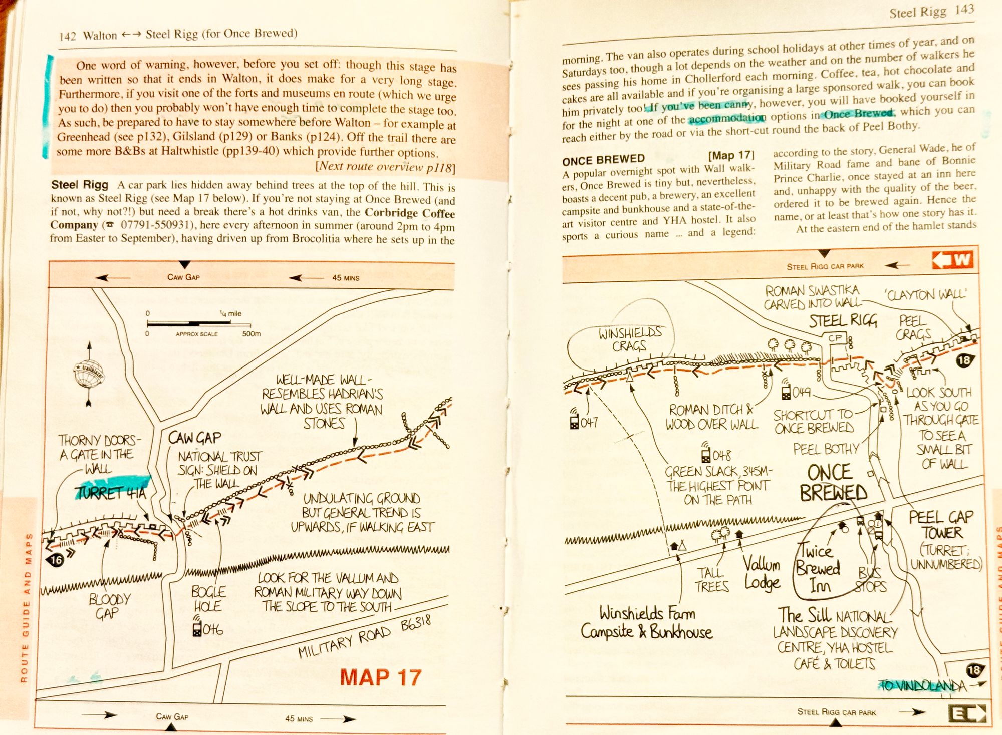
We did a lot of research and reading about the period and ordered a number of books. The guide book we ended up primarily relying was Henry Stedman's "Hadrian's Wall Path"
We had planned for seven or eight days of walking with a down day in the middle. We had initially planned for the walk to take place in the summer, but because of work commitments and other scheduling issues, it was decided to meet up on 26 September and start the walk the next day.
We had done zoom calls and a number of proposed rough itineraries had been exchanged and it was decided that we would walk at whatever pace was good, and each morning sort of figure out where we hoped to get to that day. A pretty good itinerary had been decided upon when Tom, who was delegated to research luggage transportation services, had been advised that each overnight lodging needed to be specified prior to booking the service.
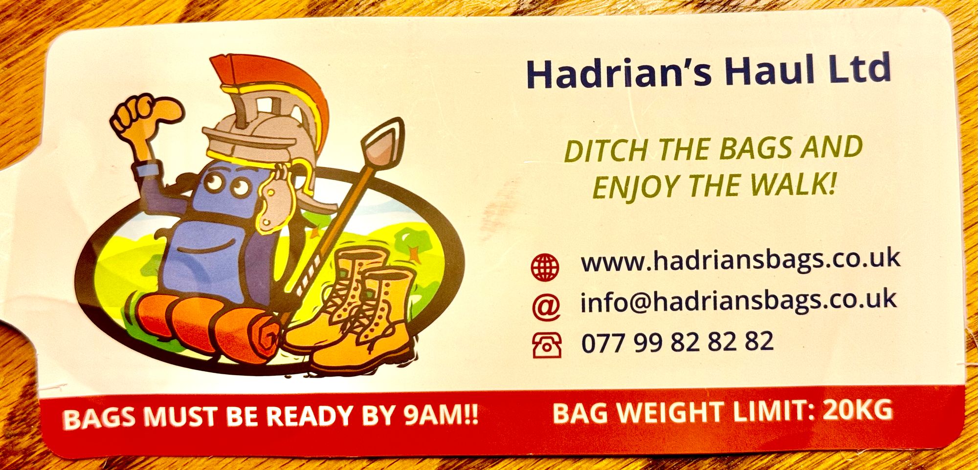
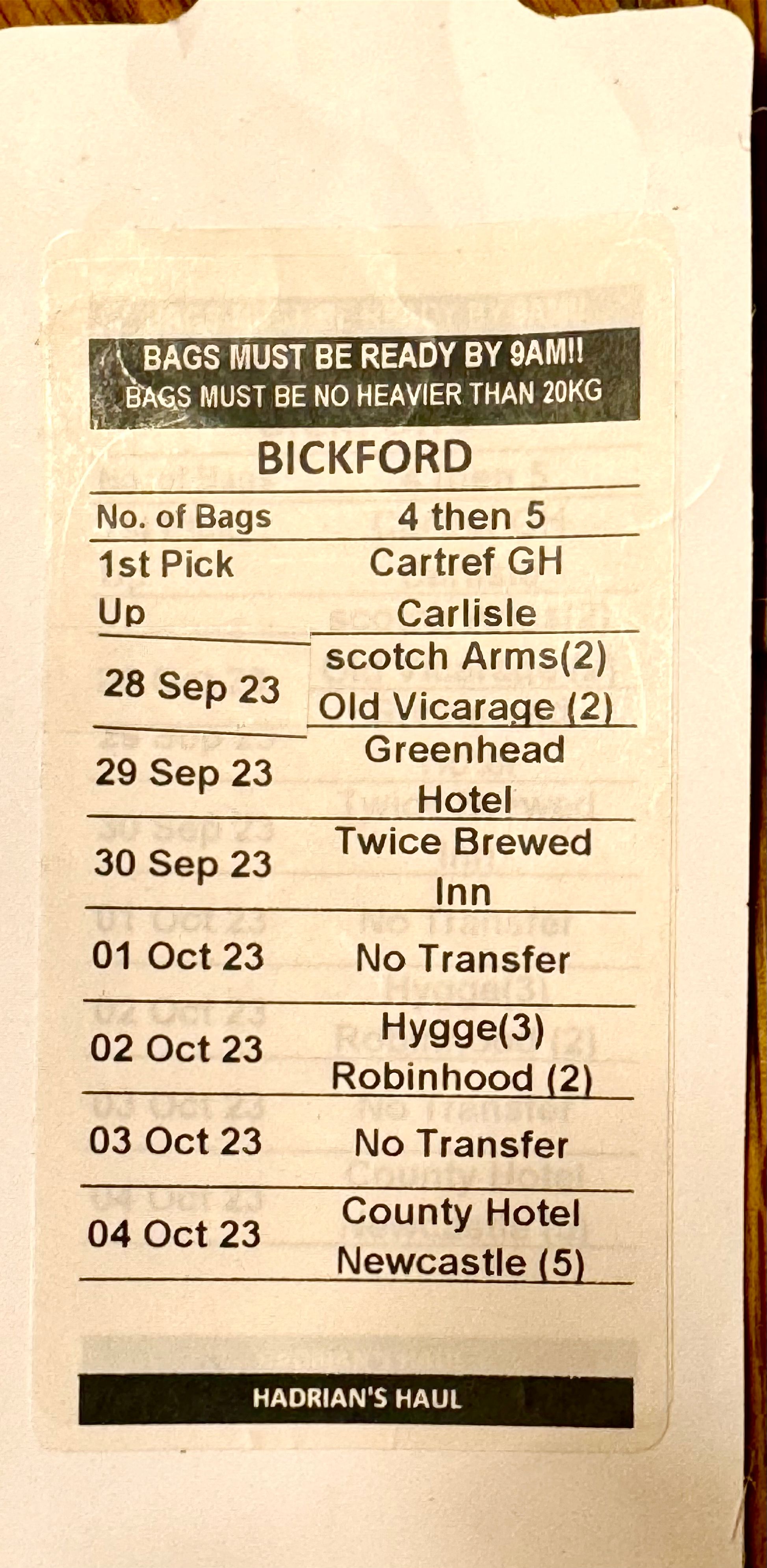
Thinking that this late into the end of the walking season, there would be no problem booking rooms, we learned otherwise. Accommodations, especially near the wall and specifically in the most scenic middle portion, are few and far between. With quite a bit of work using on-line booking companies as well as reaching out to lodgings directly we were able to manage accommodations that hopefully would work with our walking itinerary.
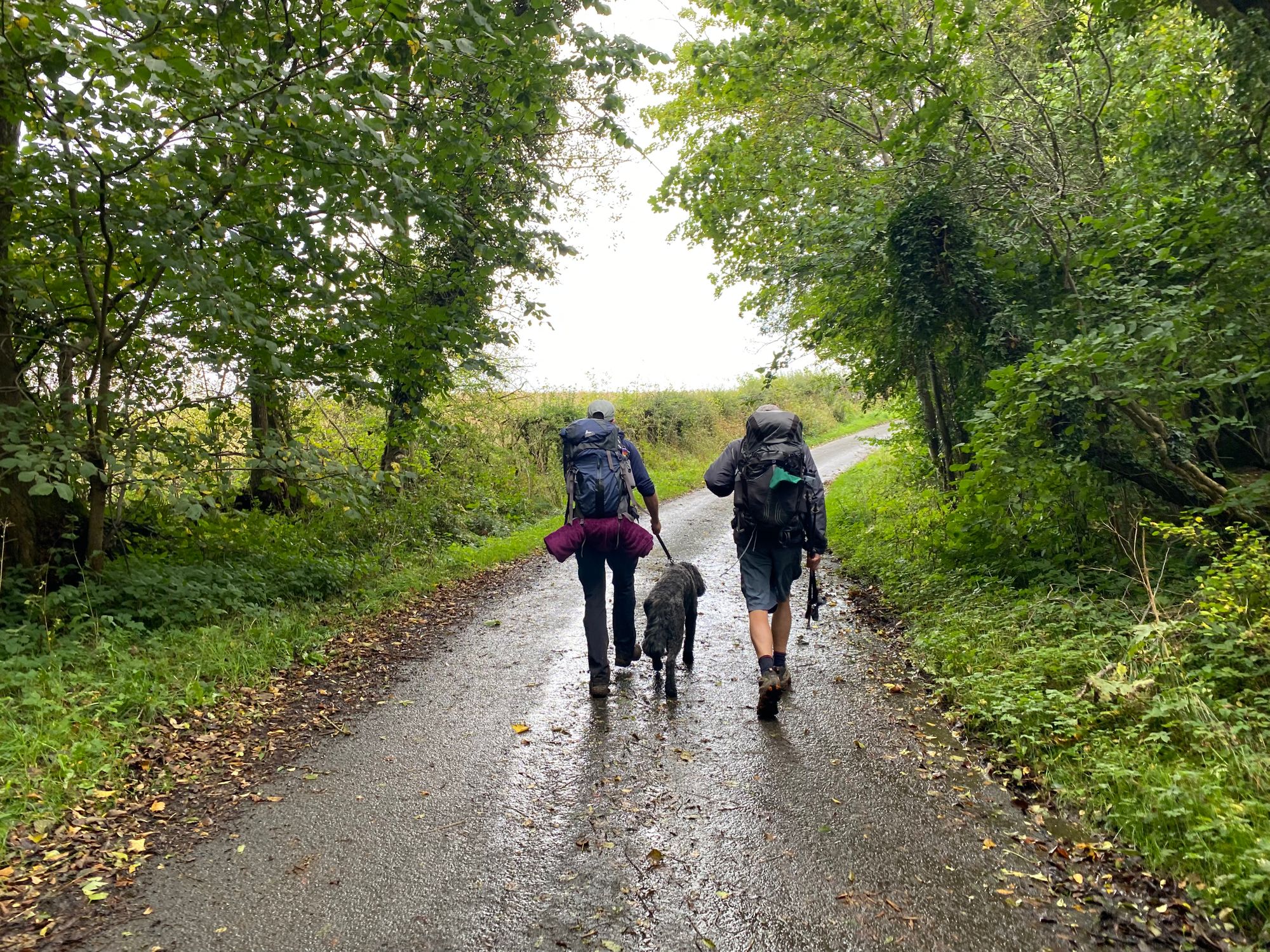
And then there was the equipment issue. Al is an accomplished hiker and has done a number of long distance trails including the Appalachian Trail. The weather would be cool (low's in the 40sF and highs in the 60sF), very good chance of rain and winds. We had to be prepared to walk in rainy, windy conditions with water saturated trails which we had been warned could be muddy and slick. Much of the path does not have any places to eat, so packing some food and enough water would be necessary.
Following Al's advice, I invested in some collapsible walking poles, a small waterproof day pack, light-weight gloves, a rain jacket with vents and pockets and two pairs of shoes .... hard leather water proof hiking boots and lighter weight runners with decent traction. Also, very importantly I would dress with layers in order to not over heat when the sun came out or when we reached the steep crag sections of the walk.
Oh yes.... and the scarf .... very important .... not only for the look, but it is practical. In hot desert climates, I have learned of the multiple functions of a good lightweight scarf especially as a cooling agent and face covering for blowing sands. On this walk, it provided warmth and insulation again driving winds and also to dry off the lens of my camera.
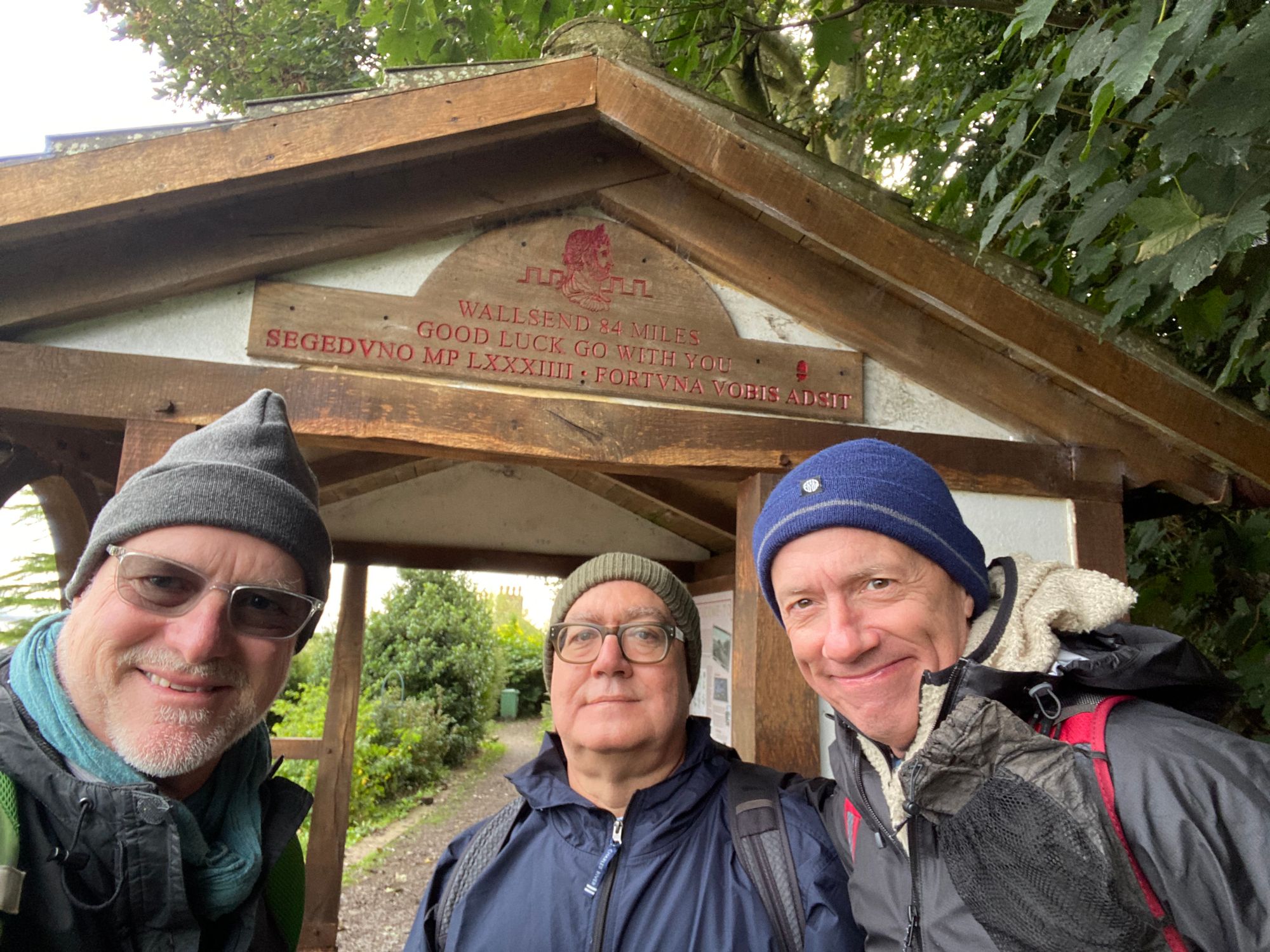
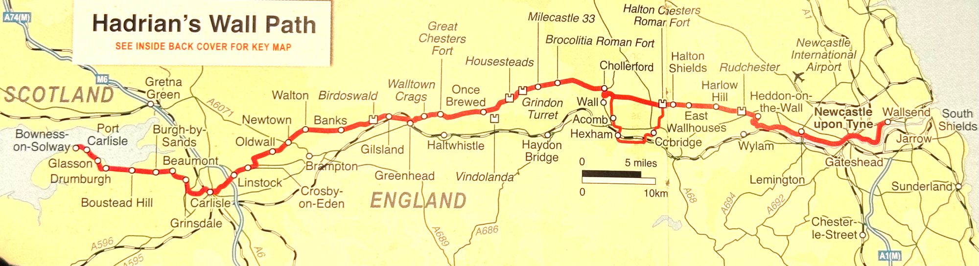
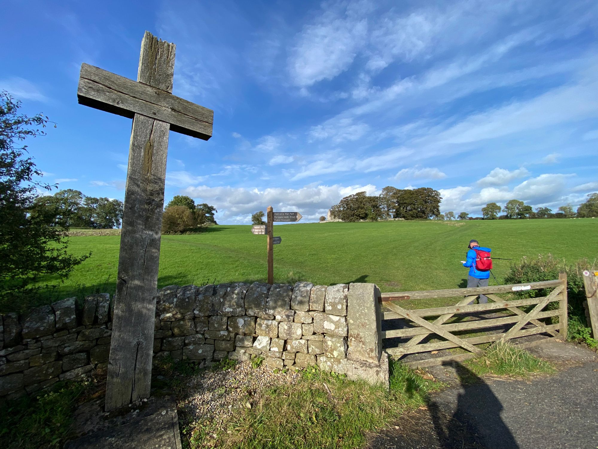
The Walk | Day One | 27 September 2023 | Bowness-on-Solway to Carlisle
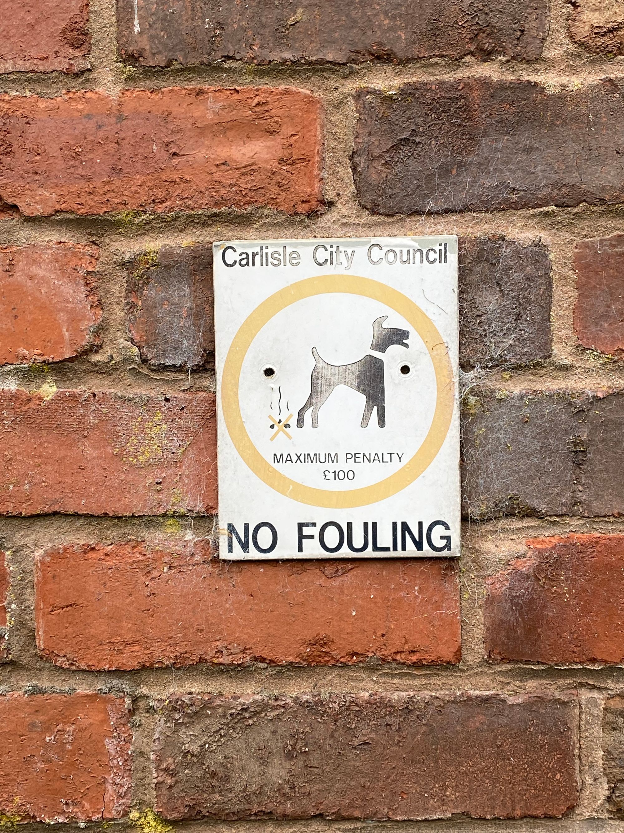
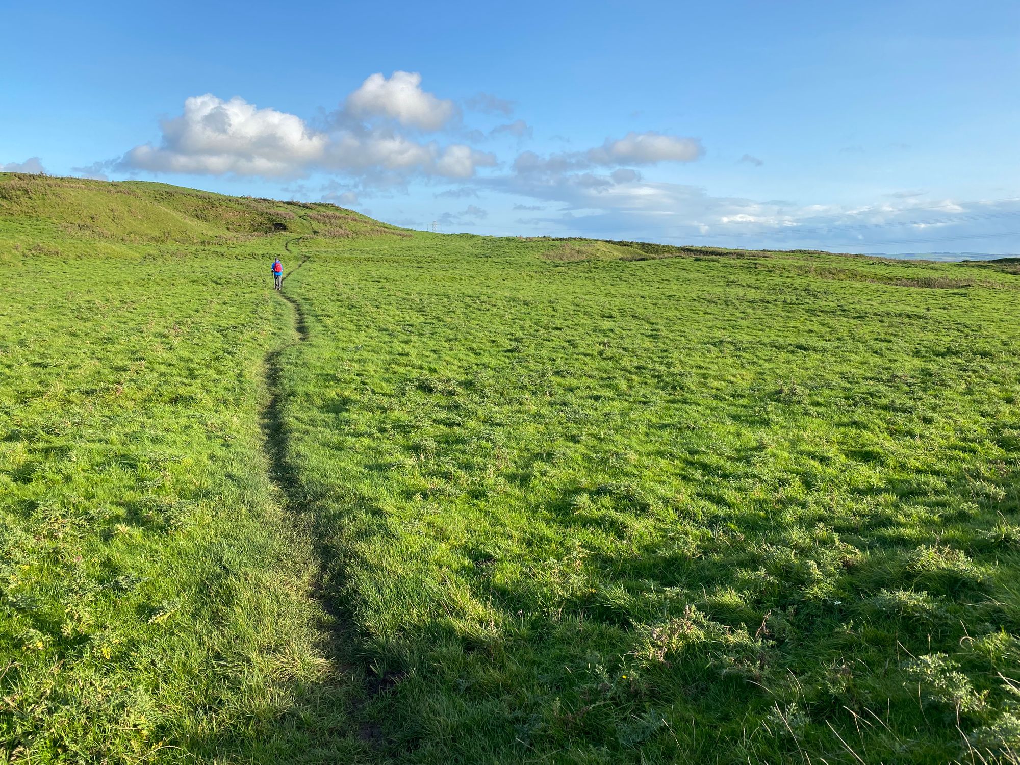
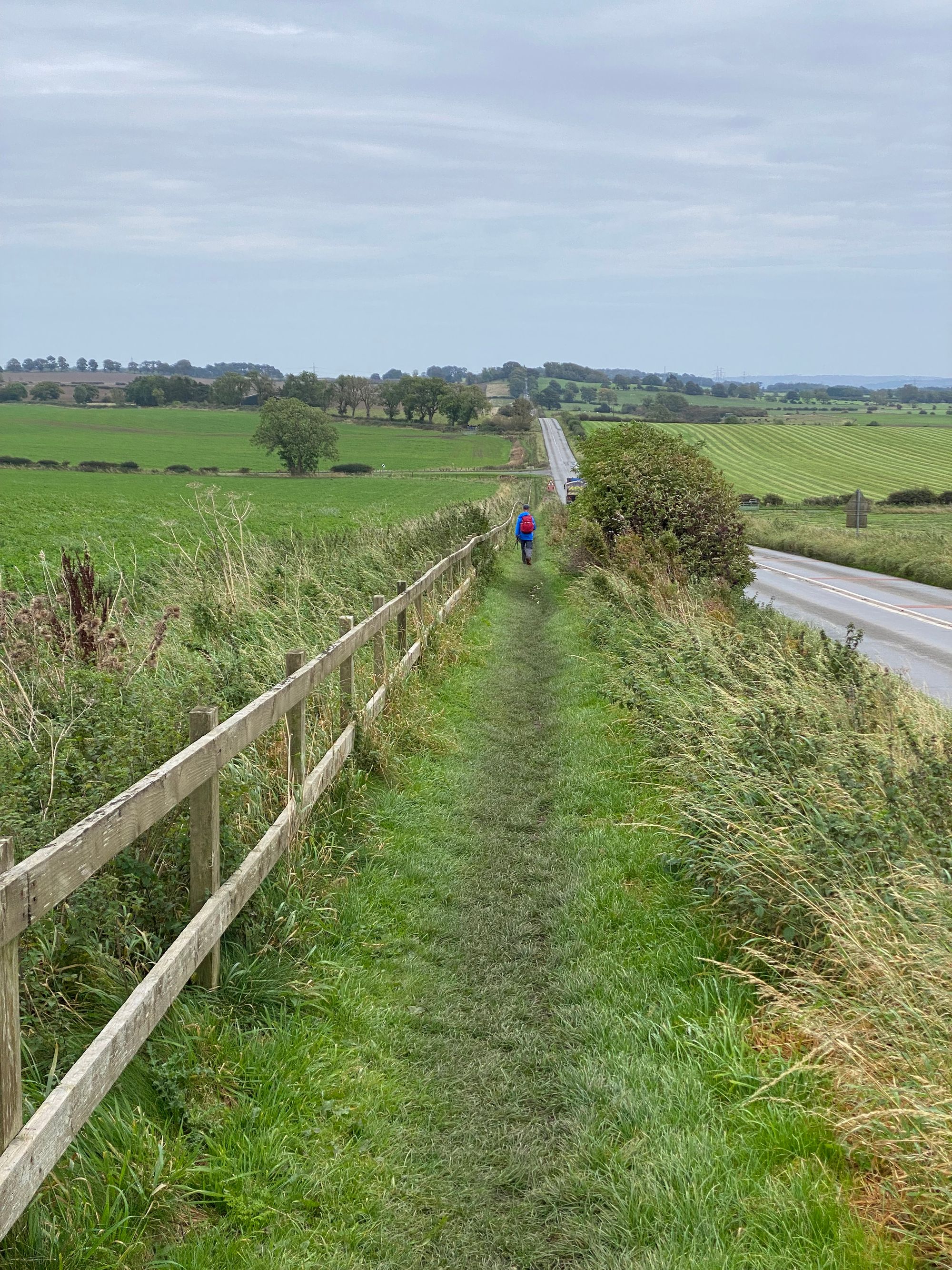
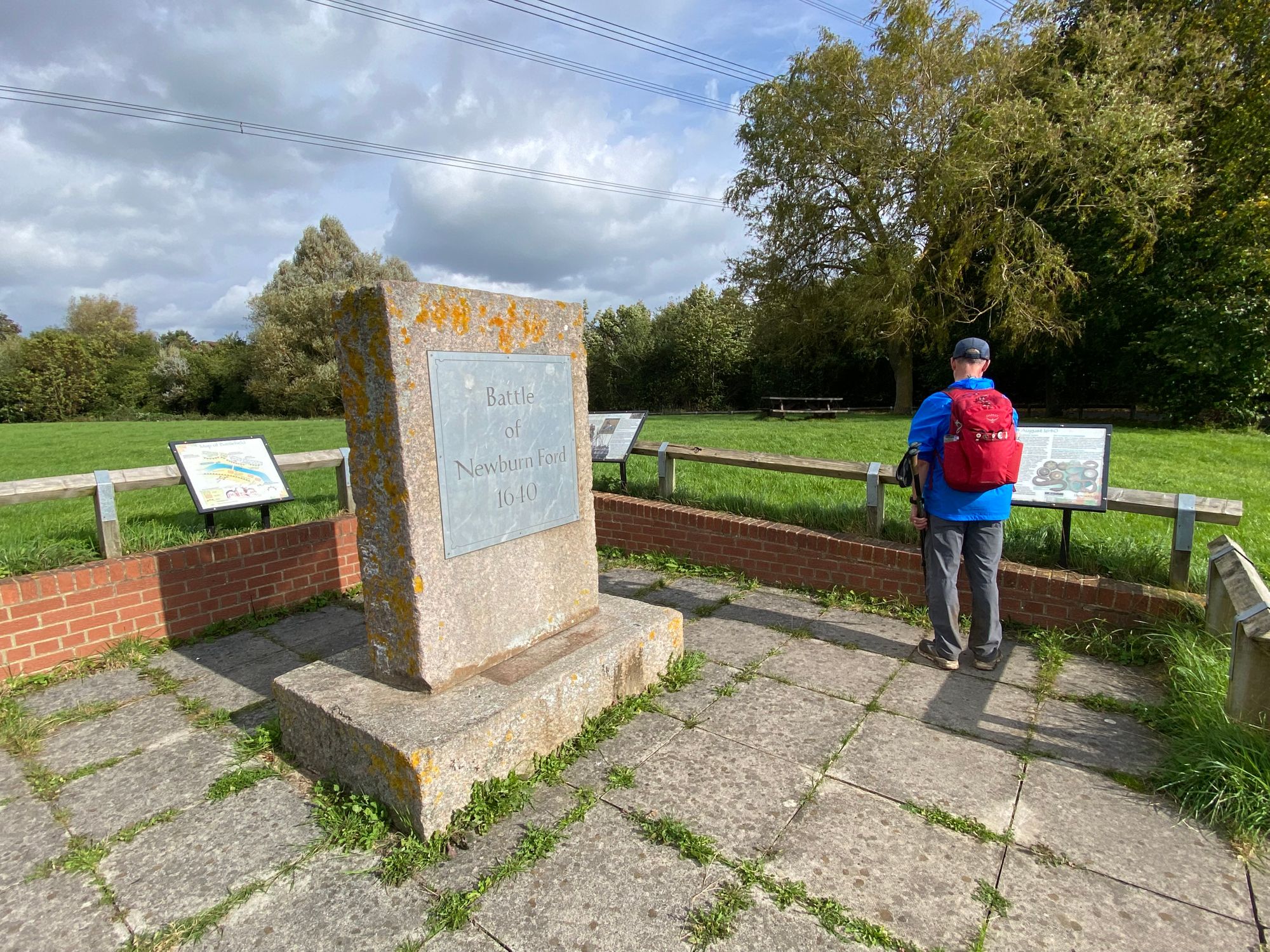
We had decided to walk the wall from west to east. The main reason for this was the prevailing winds blow from the west and so the winds are at your back and not in your face which can be difficult especially when it is raining. Al, Tom and I took a taxi early in the morning to Bowness-on-Solway. Rebecca would not join us and instead decided to check out the town of Carlisle. Today would be one of the longest walk days with no wall to be seen except in churches and homes which had repurposed the stones into their structures.
The weather was cool, overcast with intermittent rain showers.
The beginning of the walk | it starts at the estuary of Bowness which is a huge tidal basin. The border with Scotland runs through the middle of the inlet
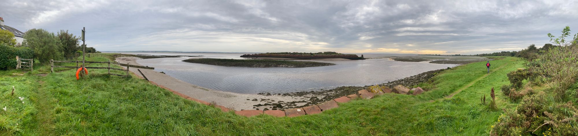
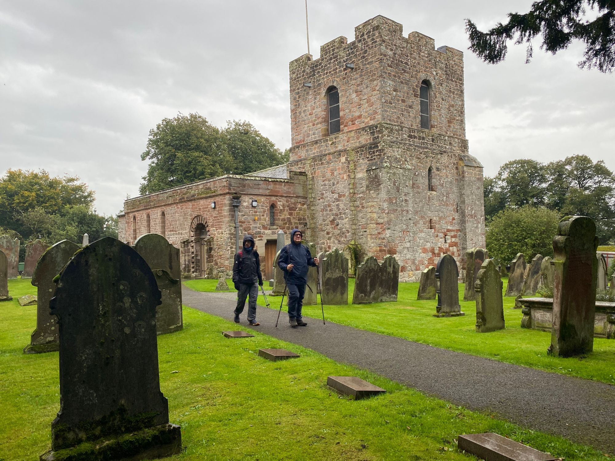
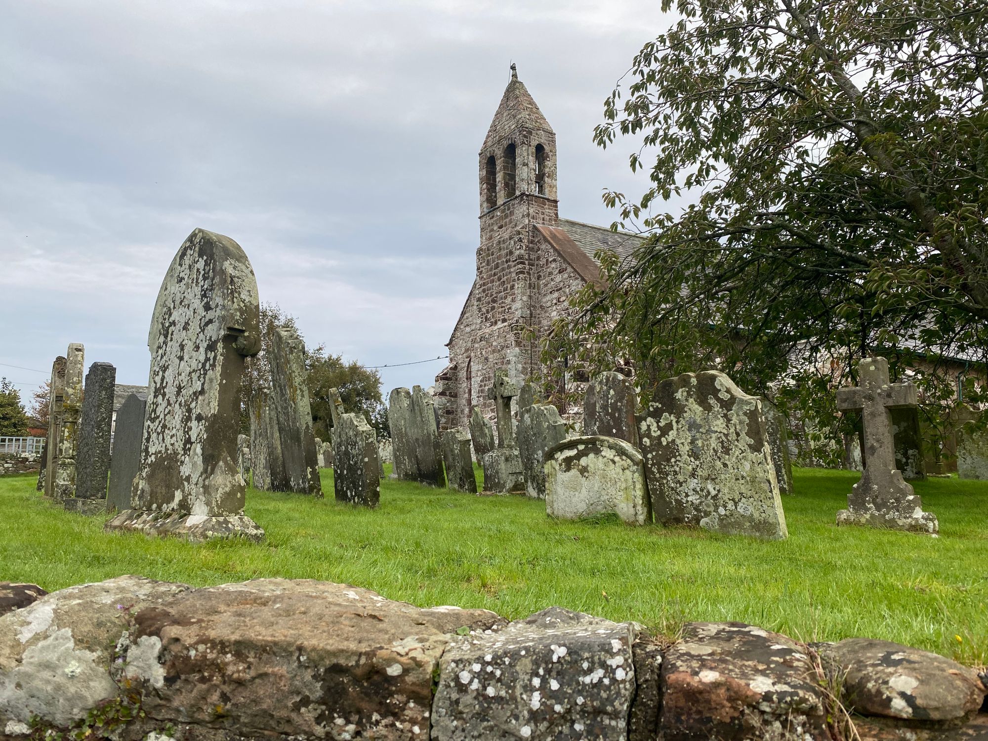
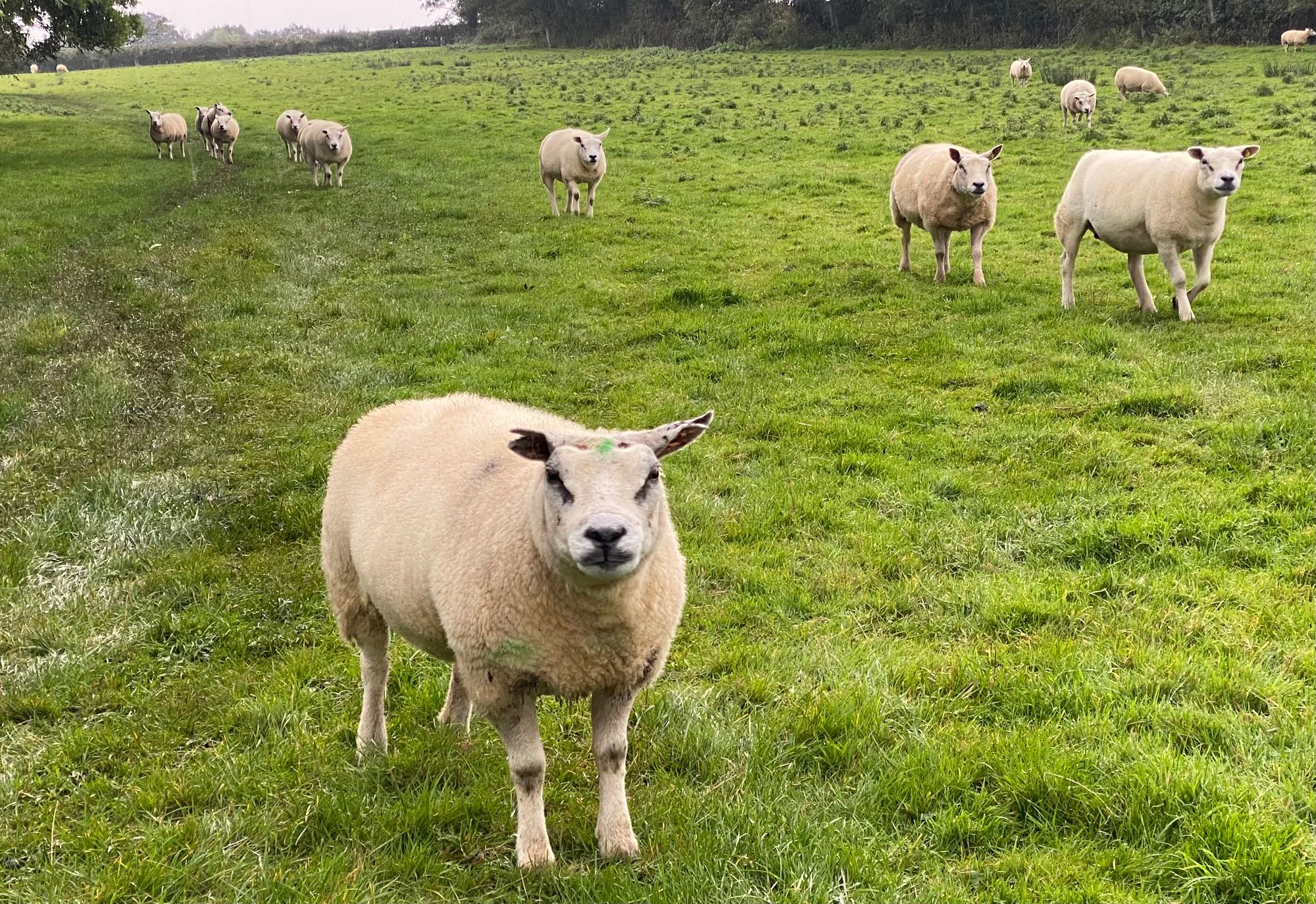
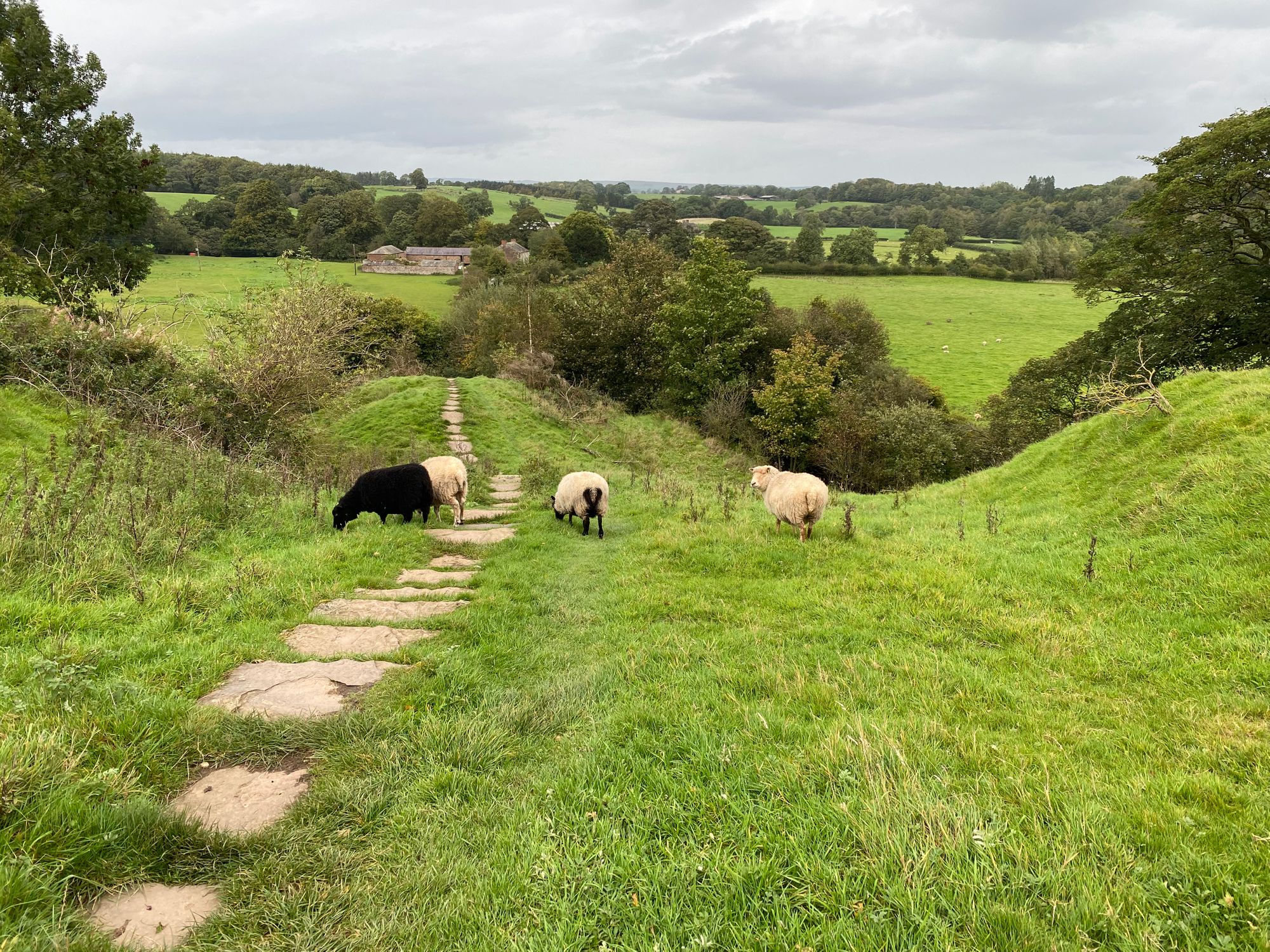
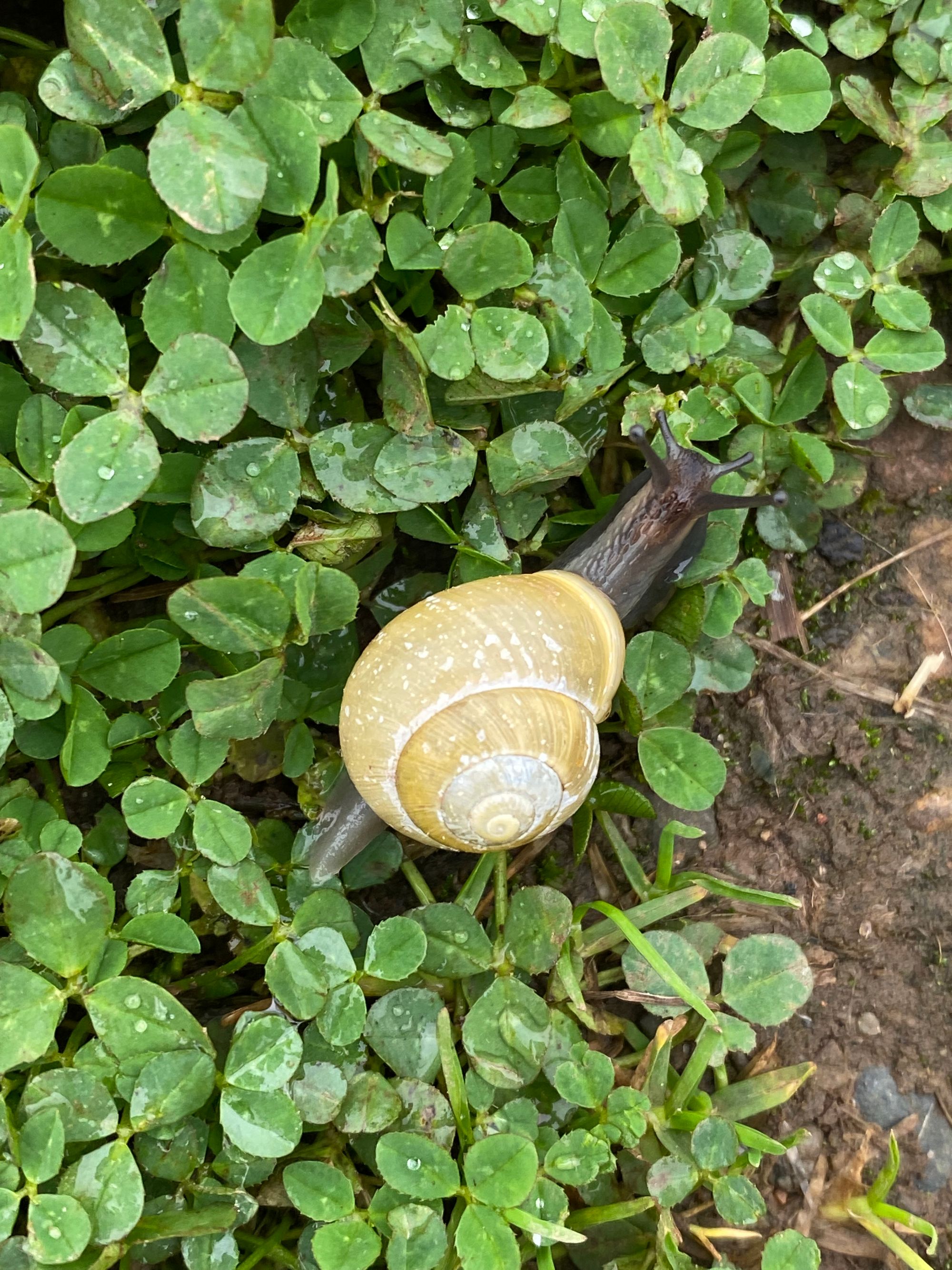
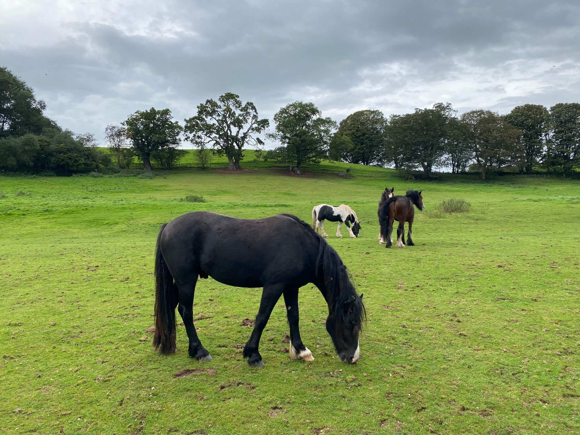
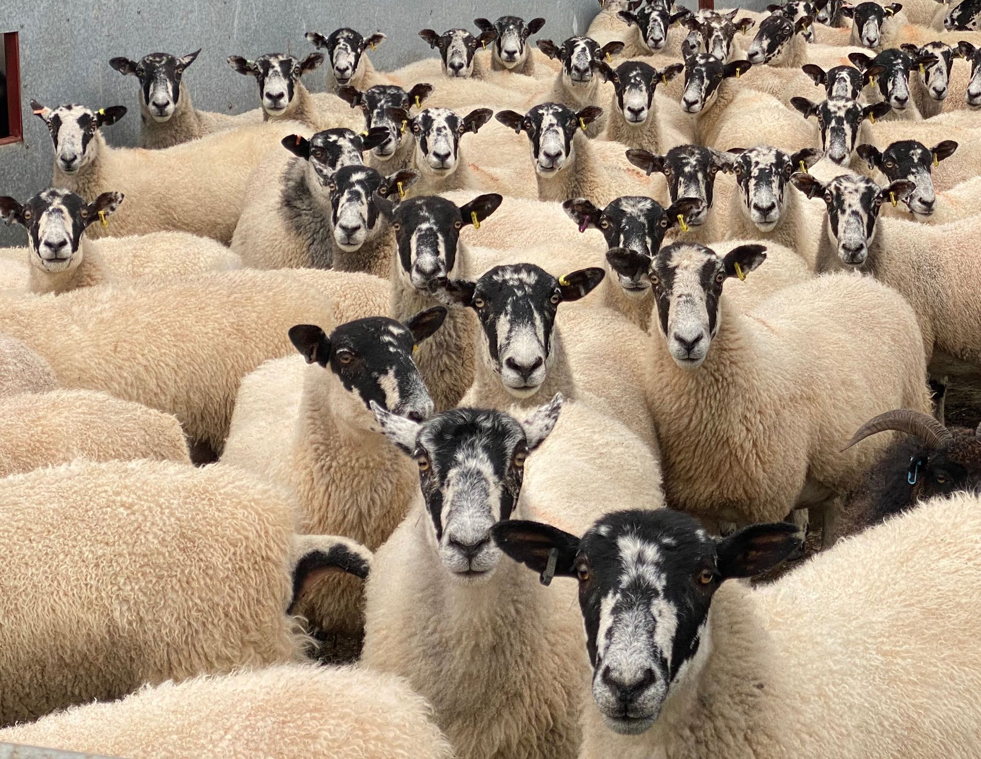
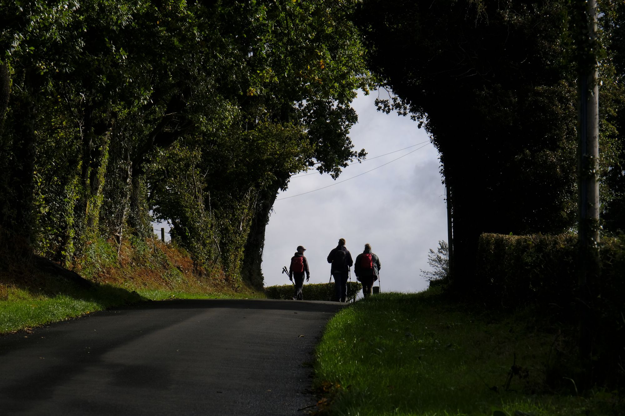
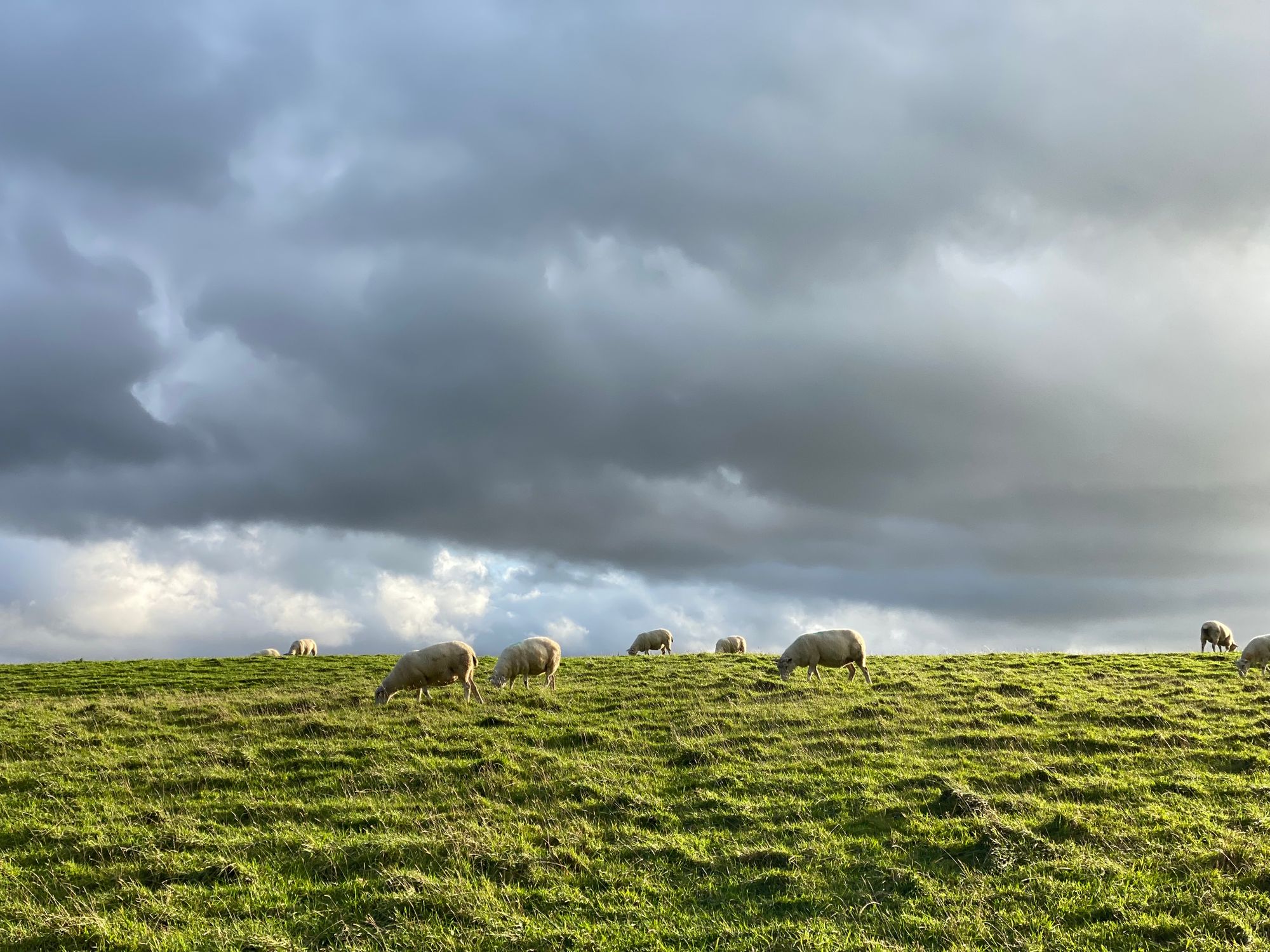
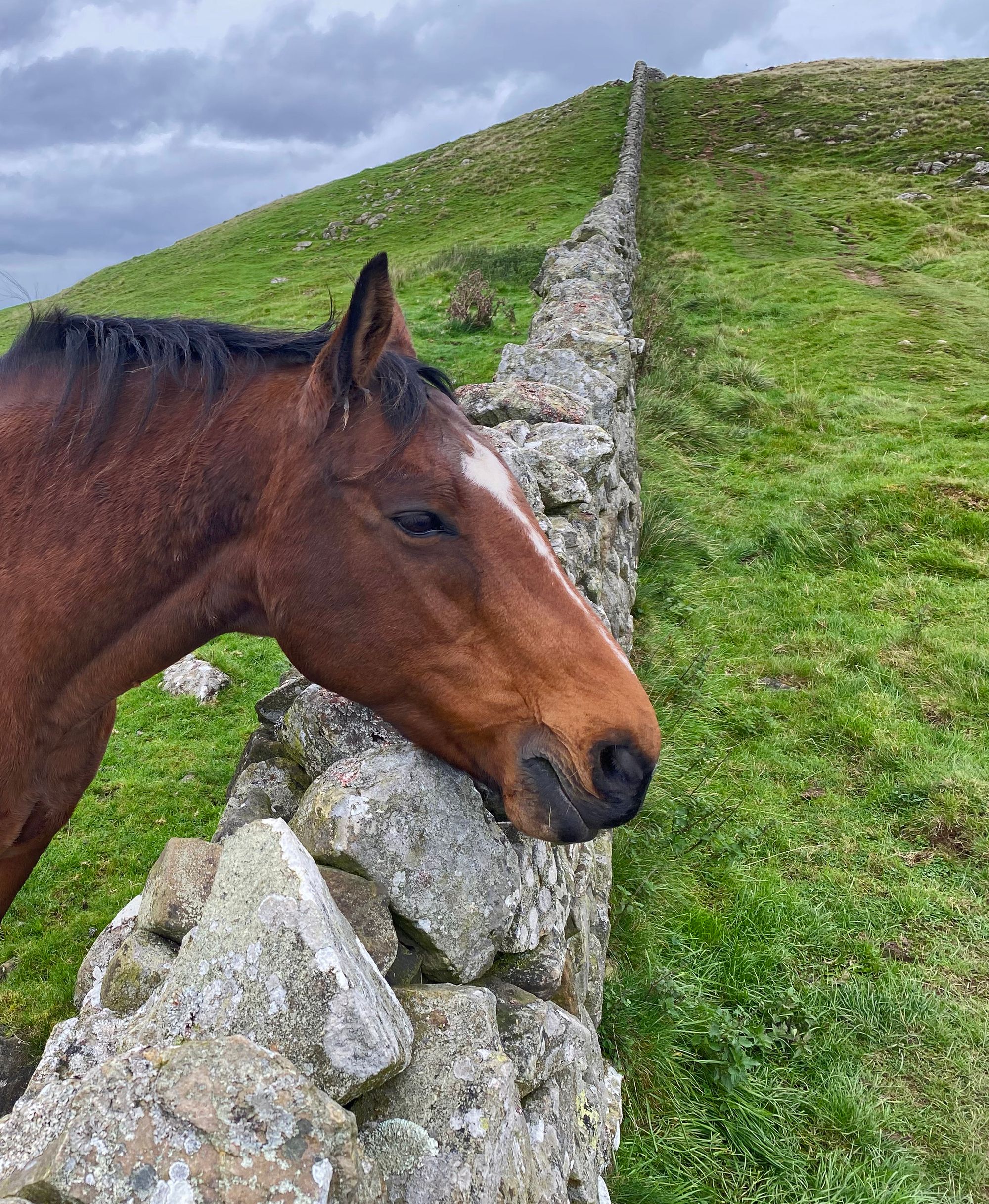
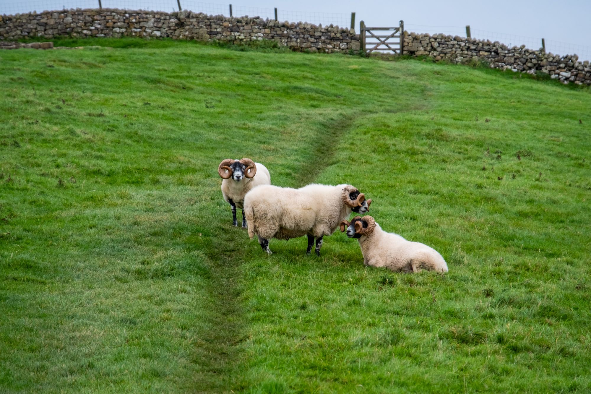
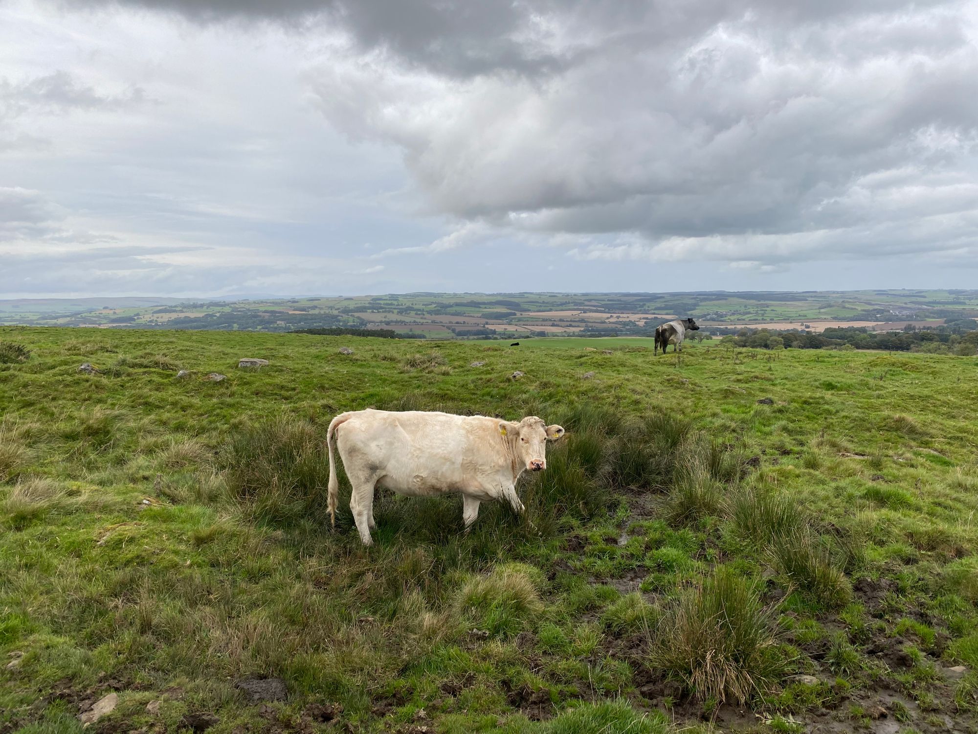
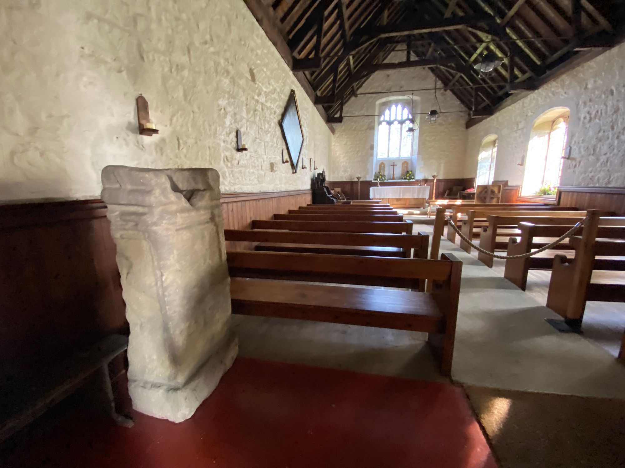
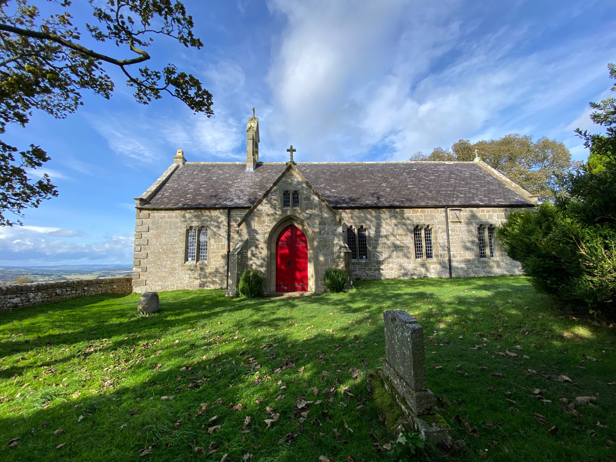
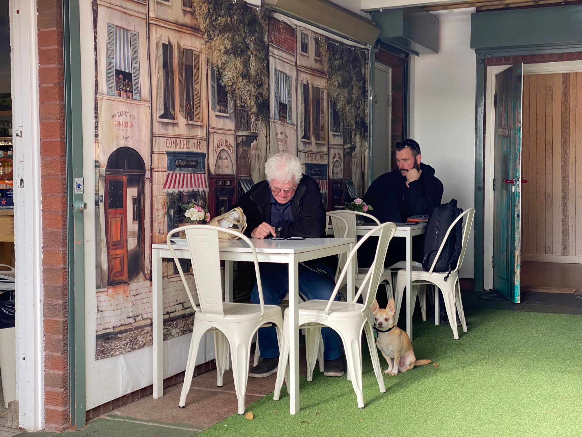
Another aspect of the Hadrian's Wall walk is that, though there is no trace of the actual wall on the first and last days of the walk, there are plenty of other sites of interest. Churches, historical events, quaint towns and villages, and lots of landscape vistas, and livestock.
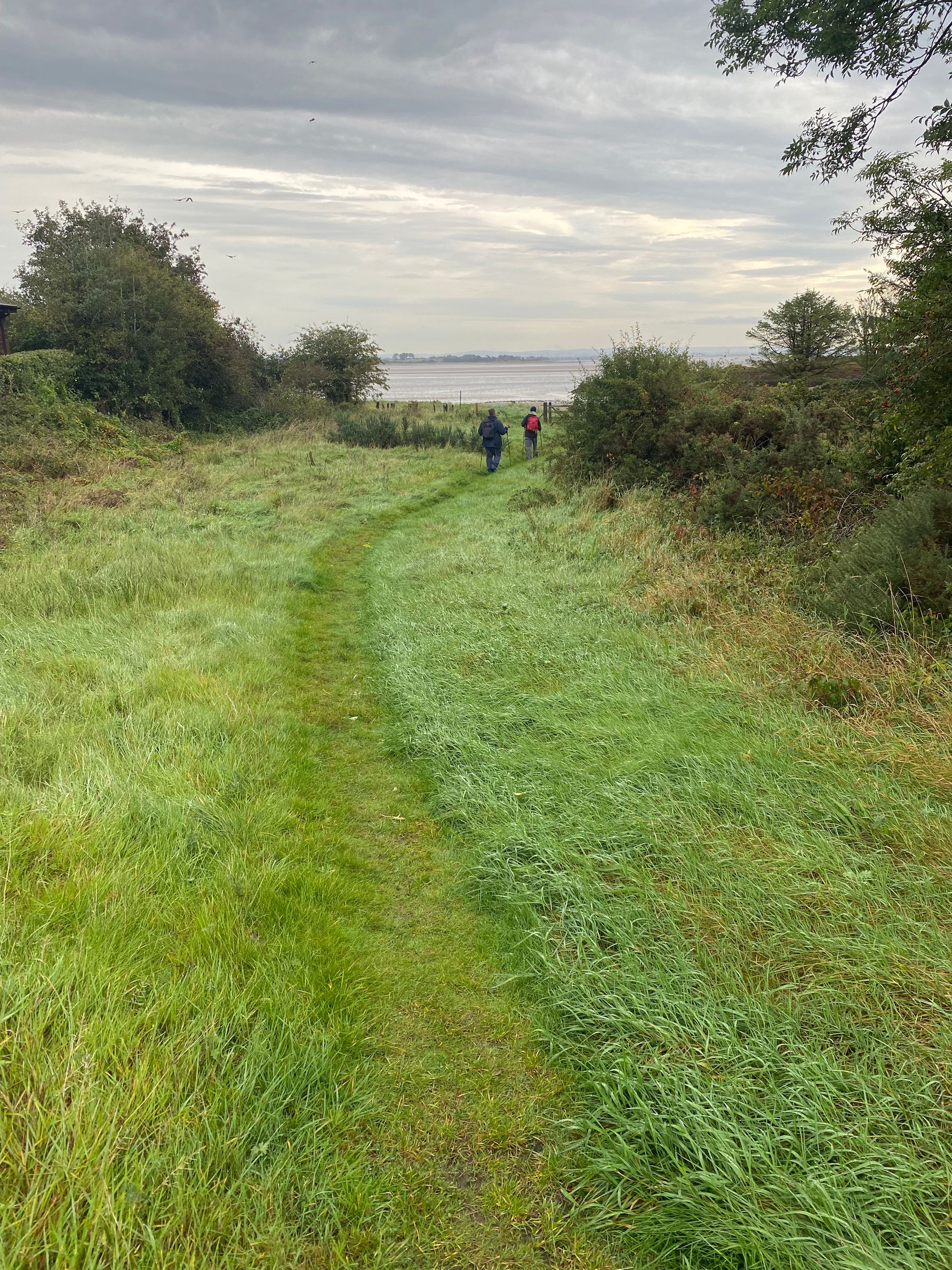
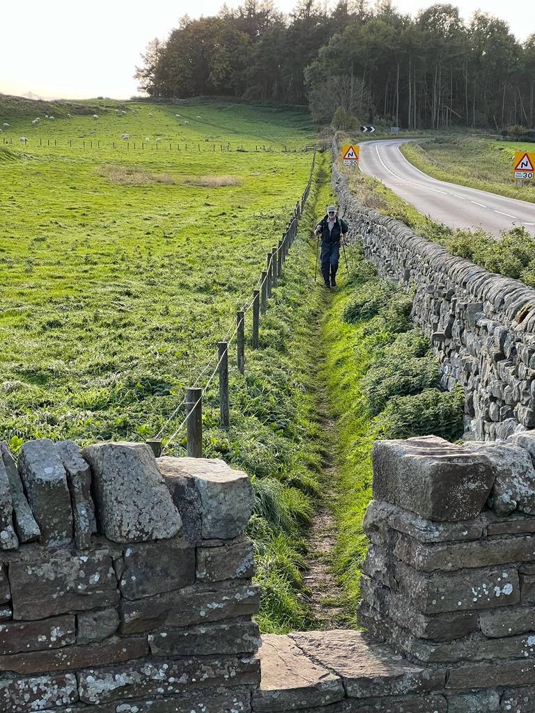
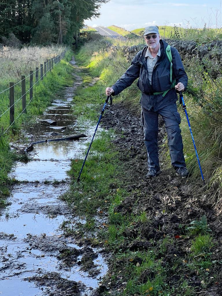
Started at 9am and ended at 6pm in Carlisle. A pretty tough 16 miles of relatively flat terrain, but rain drenched path that were at times muddy and slippery. Only met two hikers coming our way. 69-year old American, Lynn and her adopted son, Christopher. They did the whole path and she said it had been quite a challenge for her. Angus, a storm system that was suppose to hit early afternoon fortunately did not strike until the night.


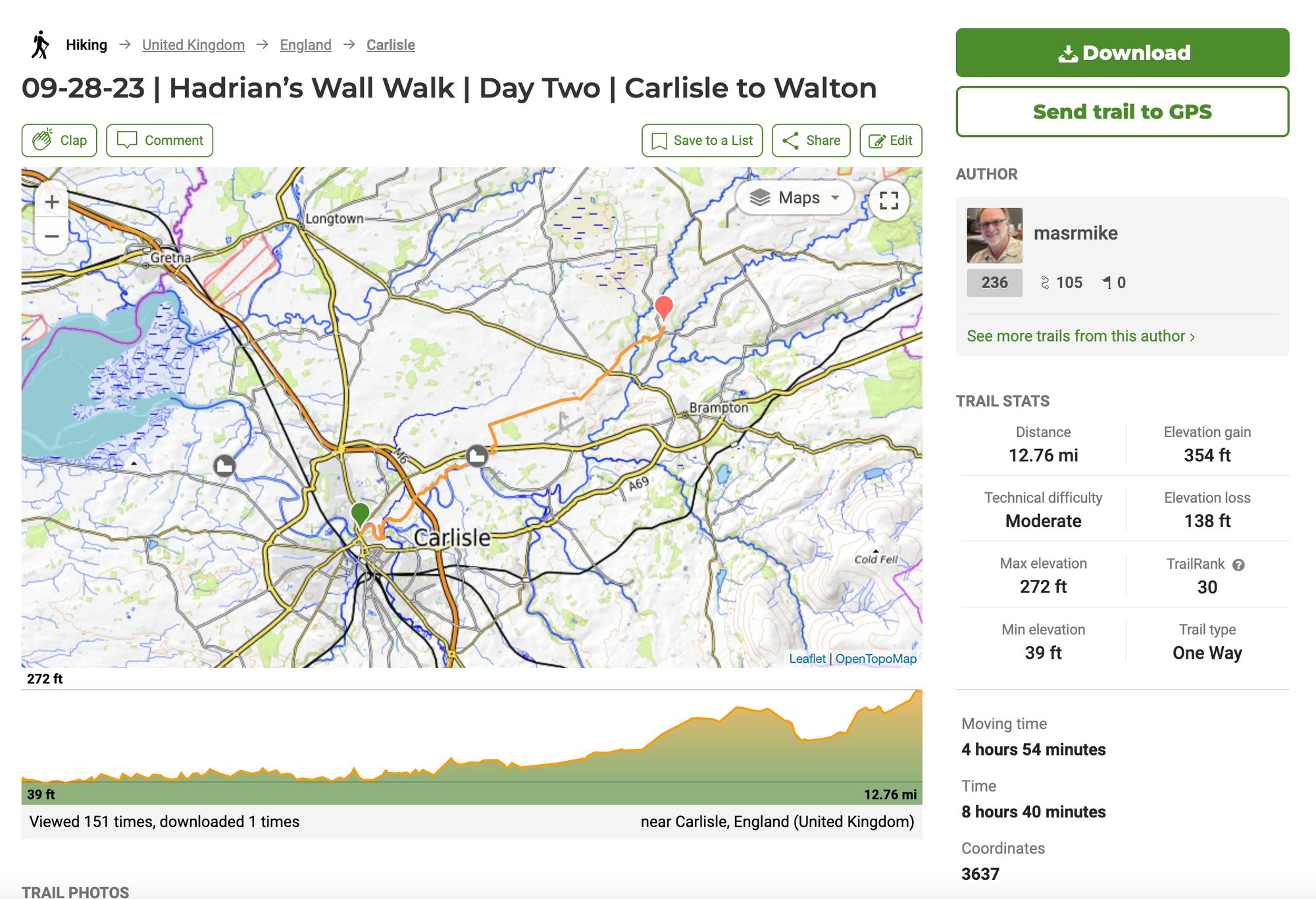
Day Two | 28 September | Carlisle to Walton
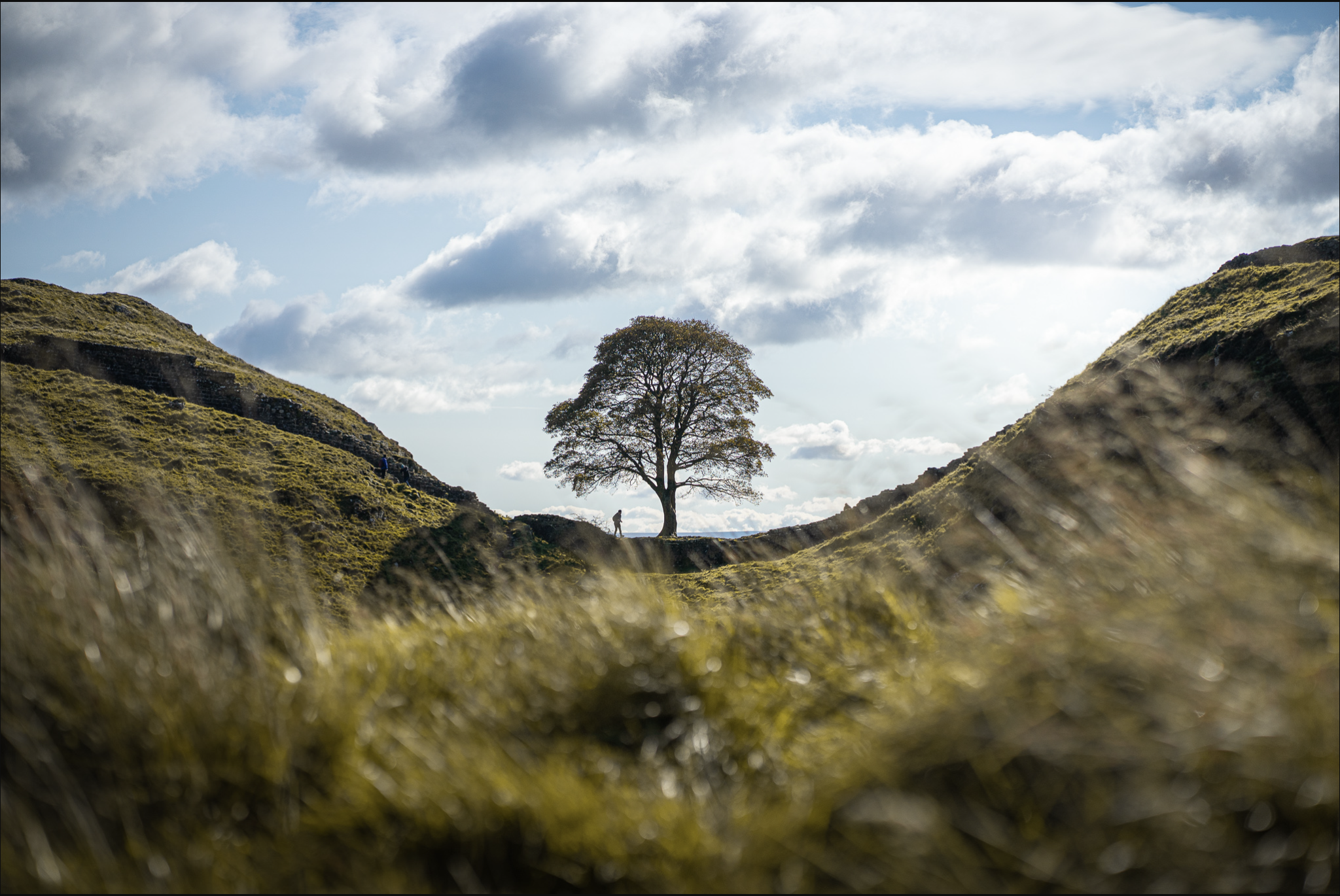
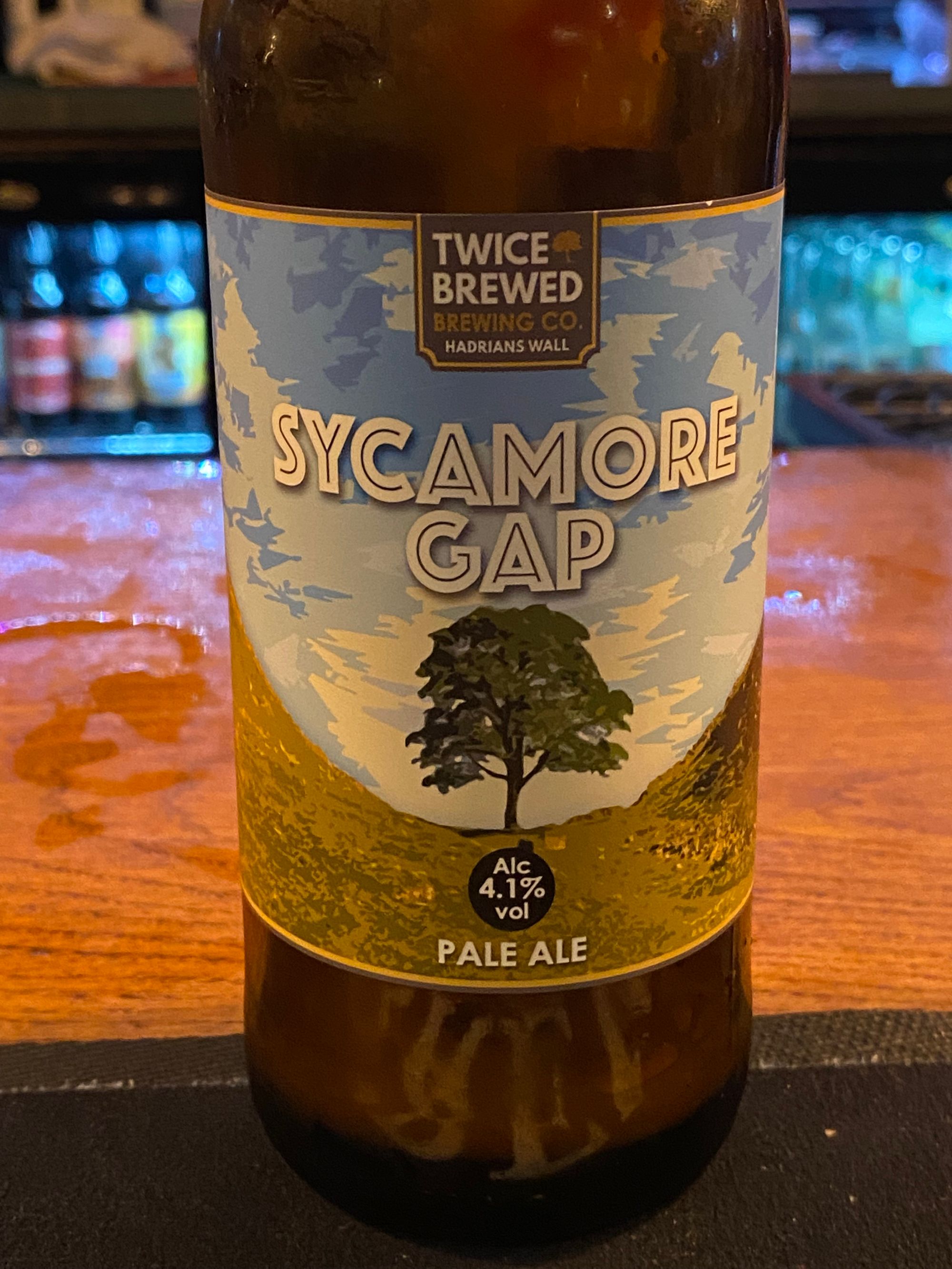
Today Rebecca join us and we crossed the Eden River and eventually started hitting some rolling hills. Around lunch time we came across the Stag Inn Pub and decided to stop for lunch. There were a few hikers and immediately we were asked if we had heard about the famous Sycamore Gap Tree.
We would later learn more about what happened, but I felt as if I had lost a friend. Other than the snaking segments of the wall along the high crags and the remnants of Roman forts, the Sycamore Gap Tree is one of the most famous sites. As a photographer, I was looking forward to the challenge of seeing what I could come up with (visually) of one of the most photographed trees in the world.
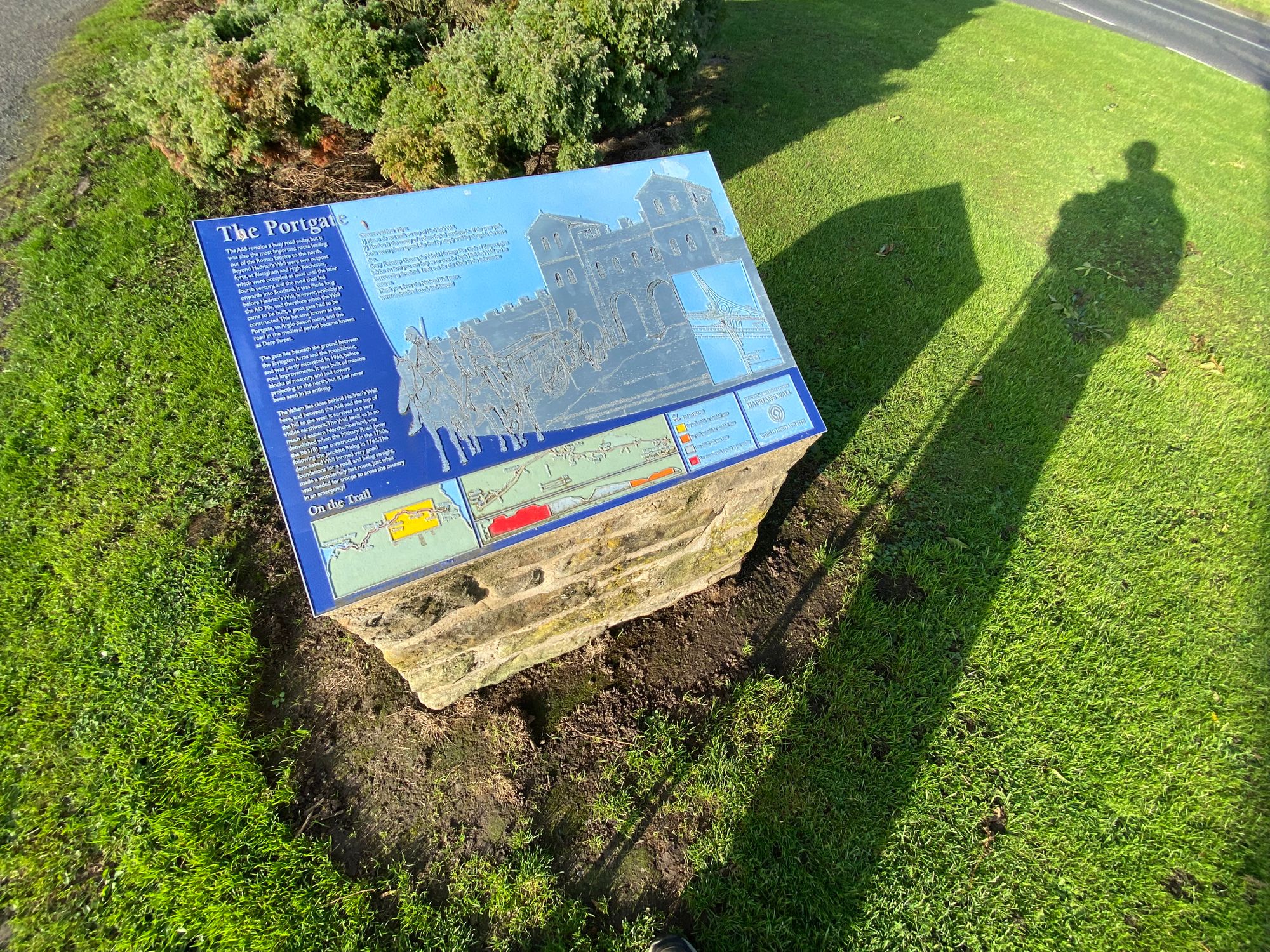
A little historical context |
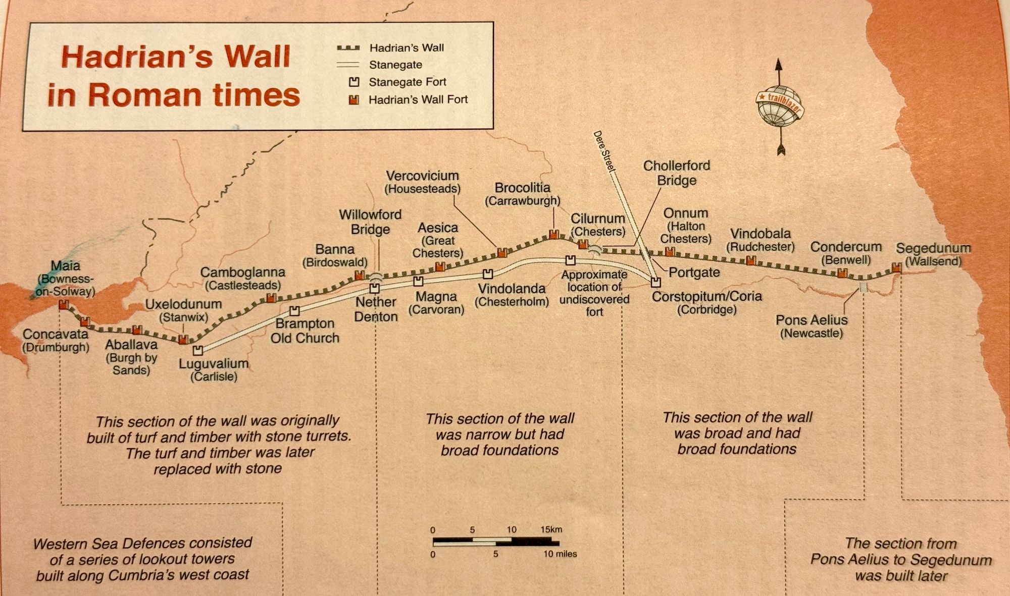
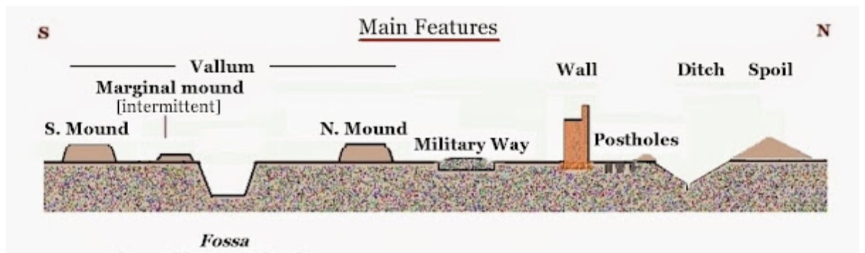
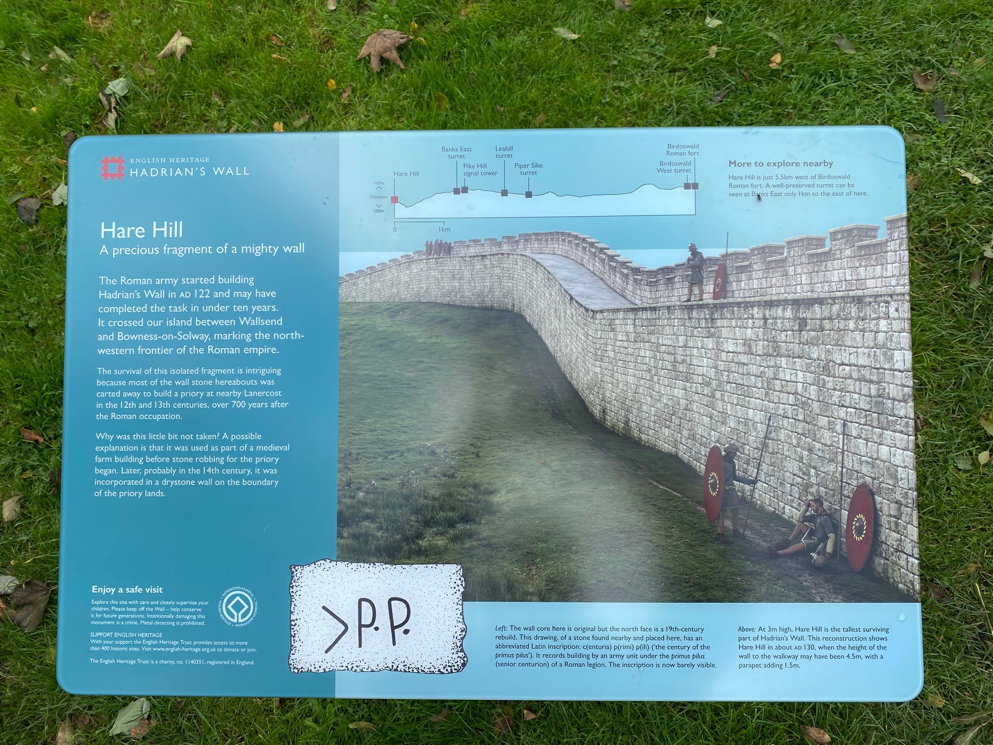
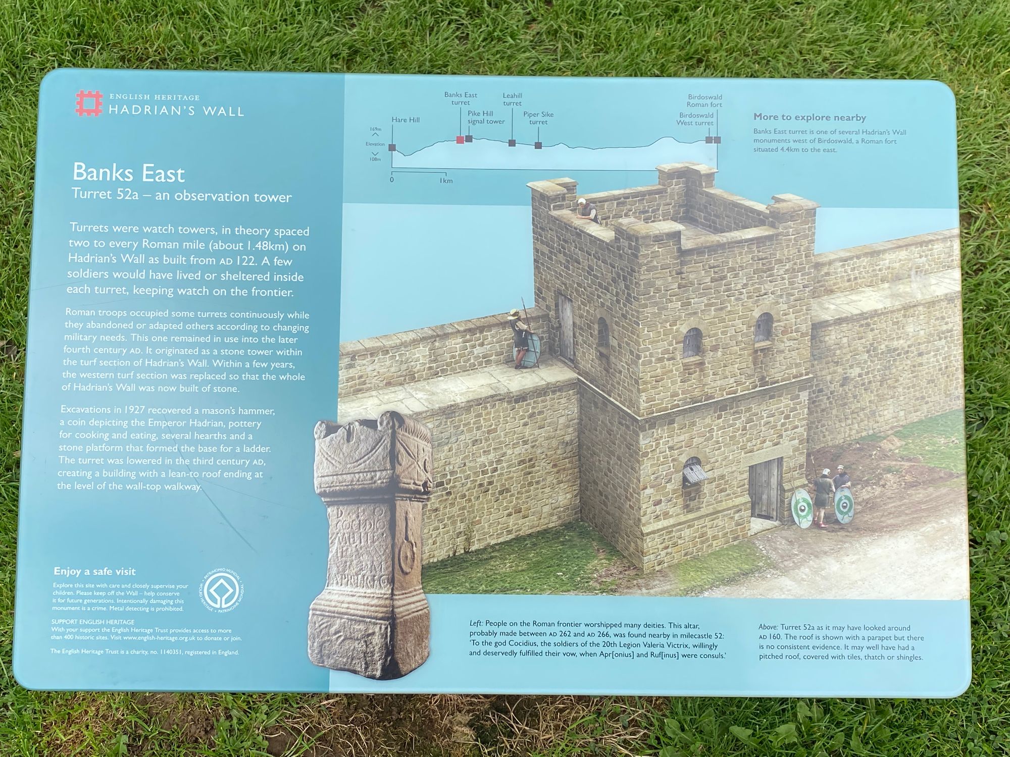
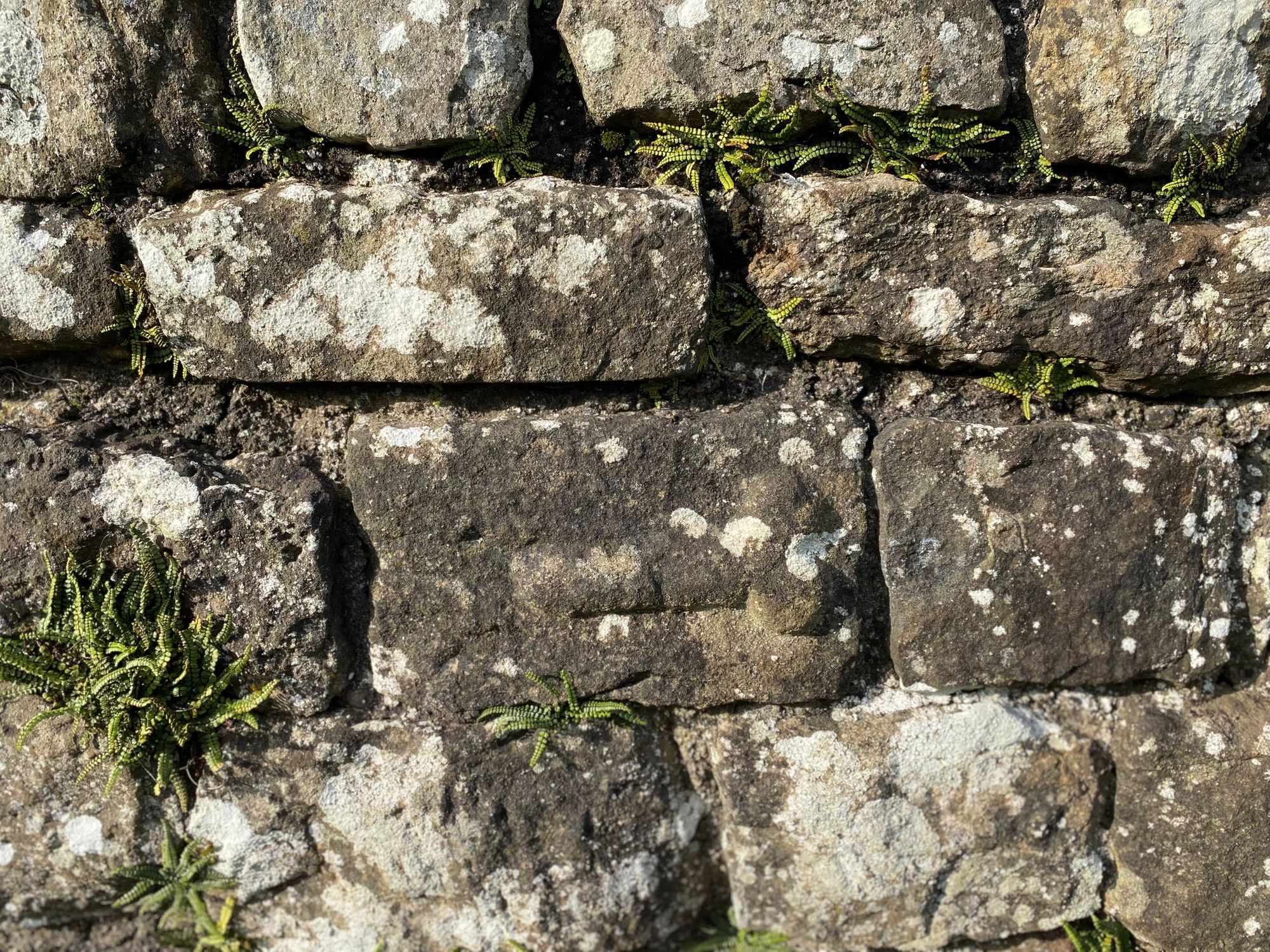
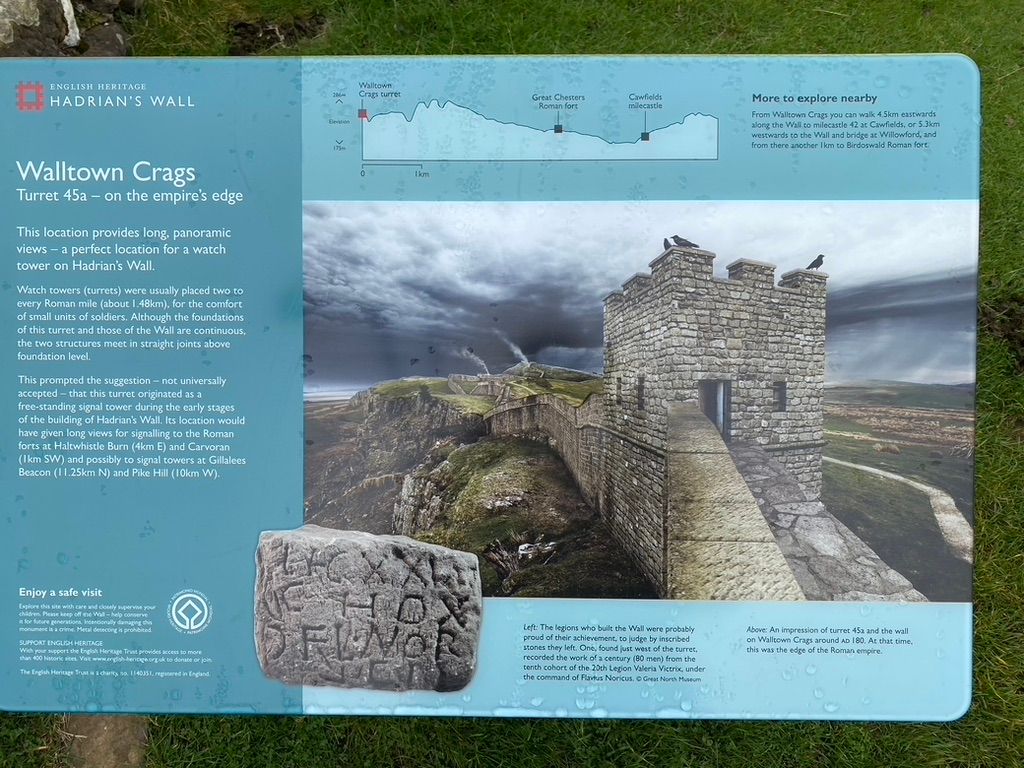
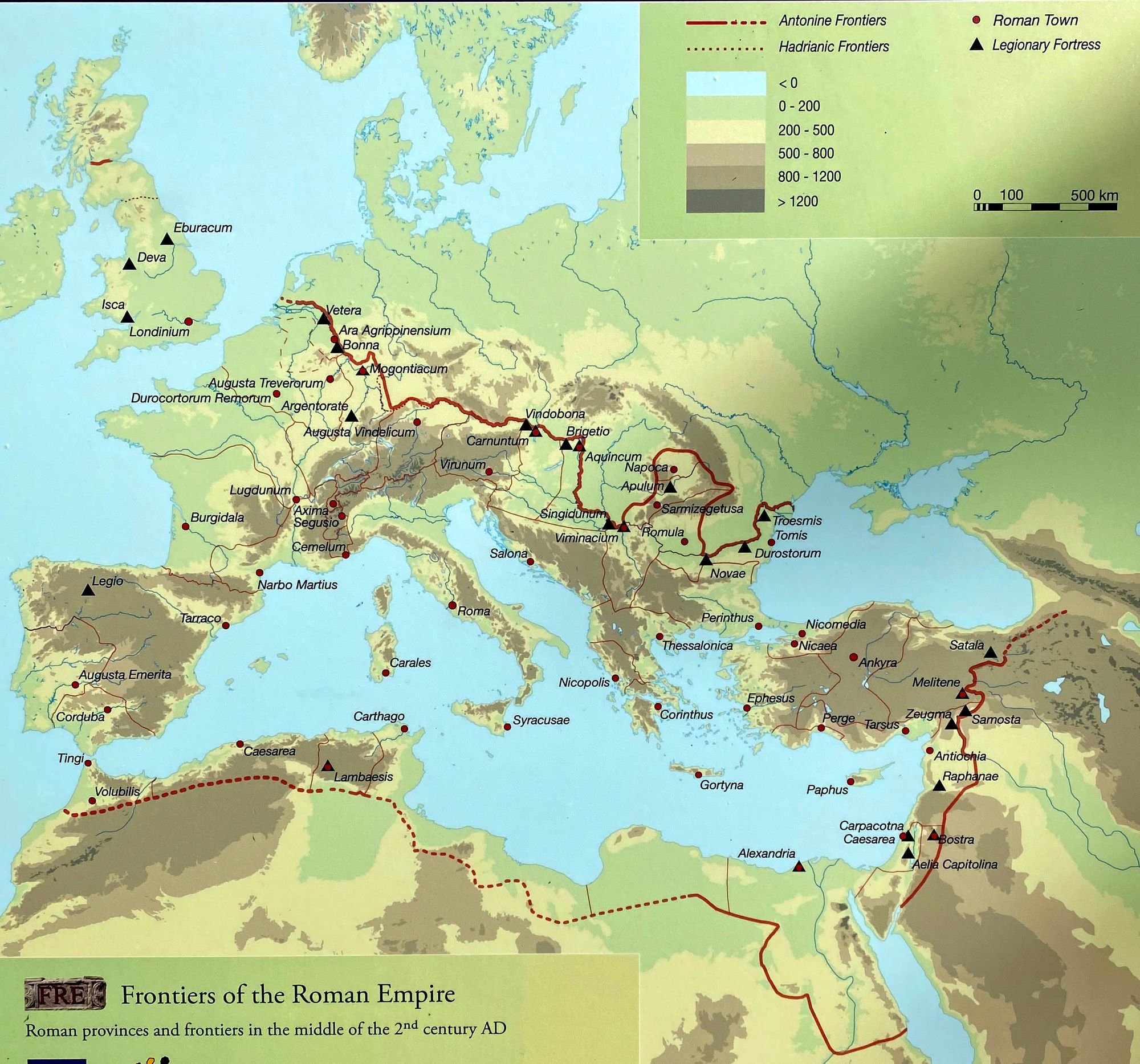
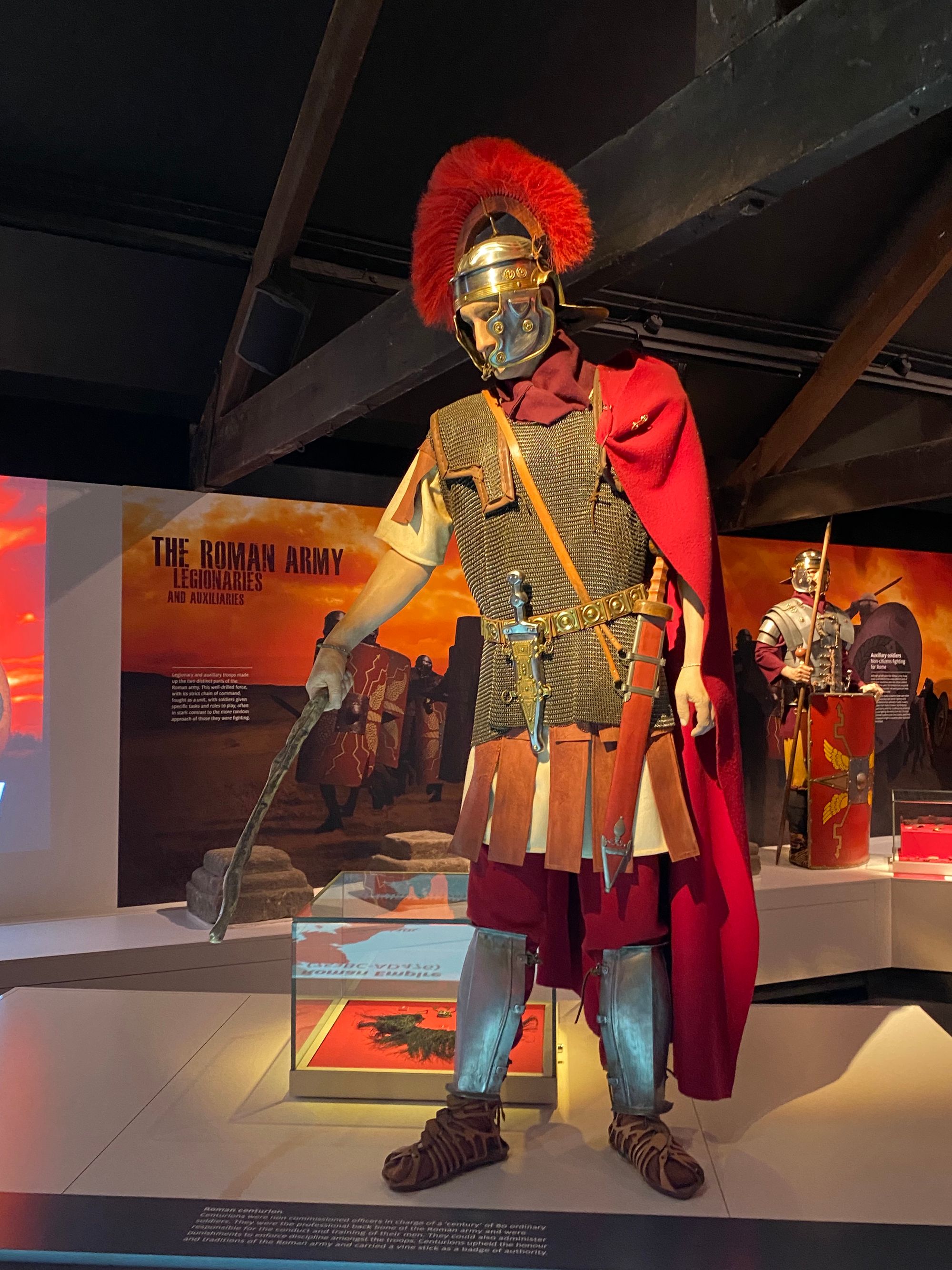
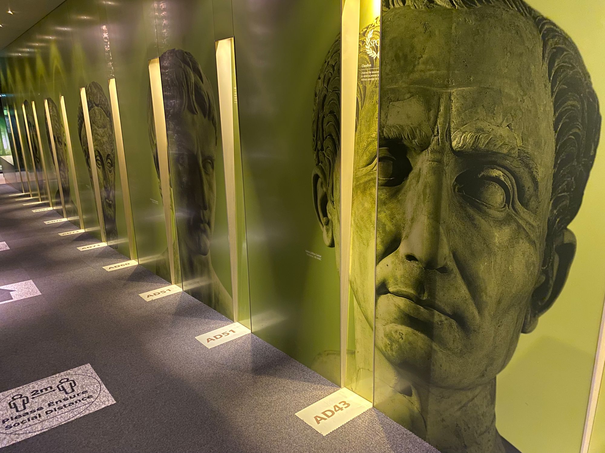
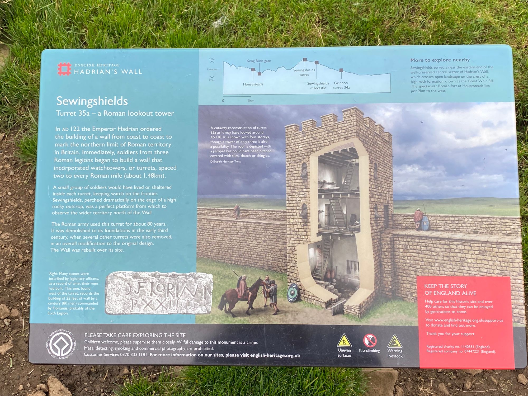
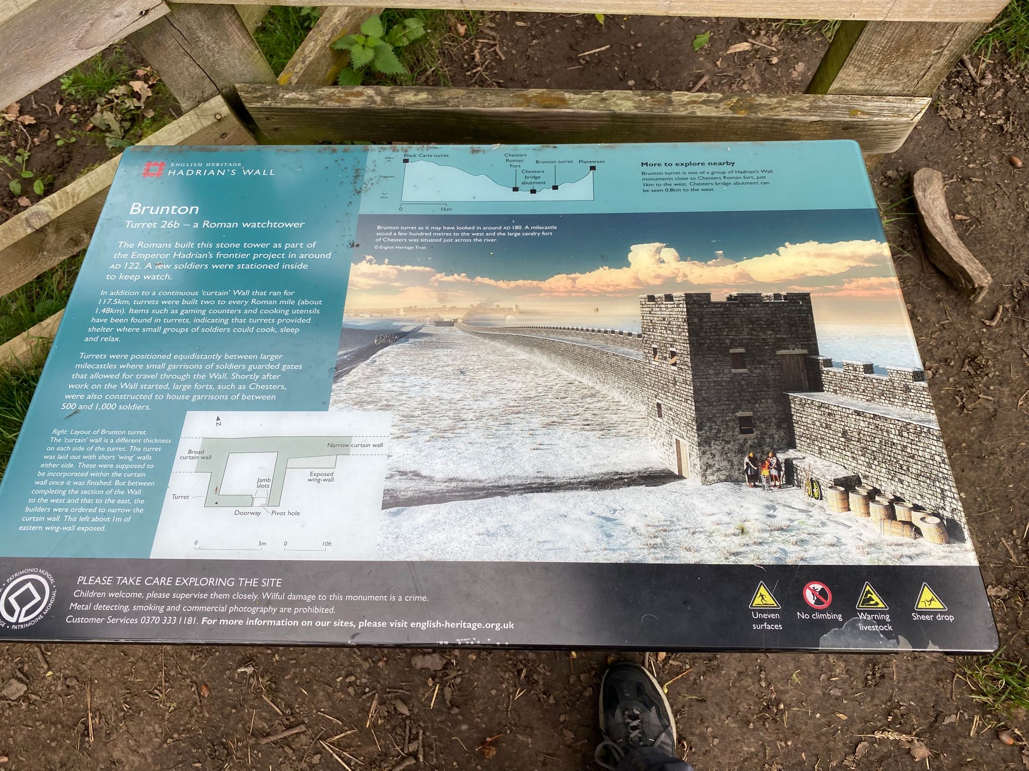
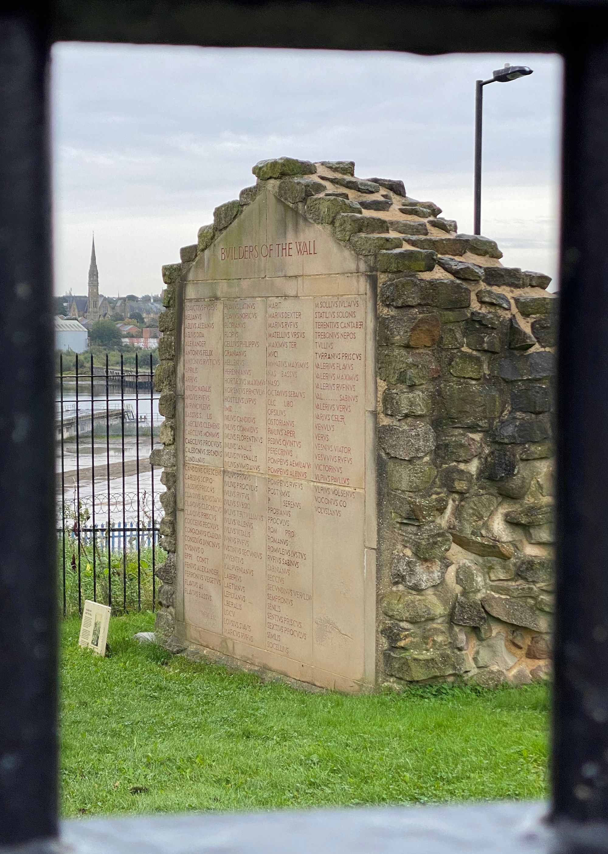
Emperor Hadrian (Publius Aelius Hadrianus) who ruled the Roman empire for 21 years decided to build what would become the biggest Roman structure to consolidate Rome's hold on the Province of Britannia. Attempts to conquer and control the Picts and tribes north of the wall had proved difficult and eventually unsuccessful. The wall which was initially a wooded and turf structure was eventually built by the legionnaires with stone.
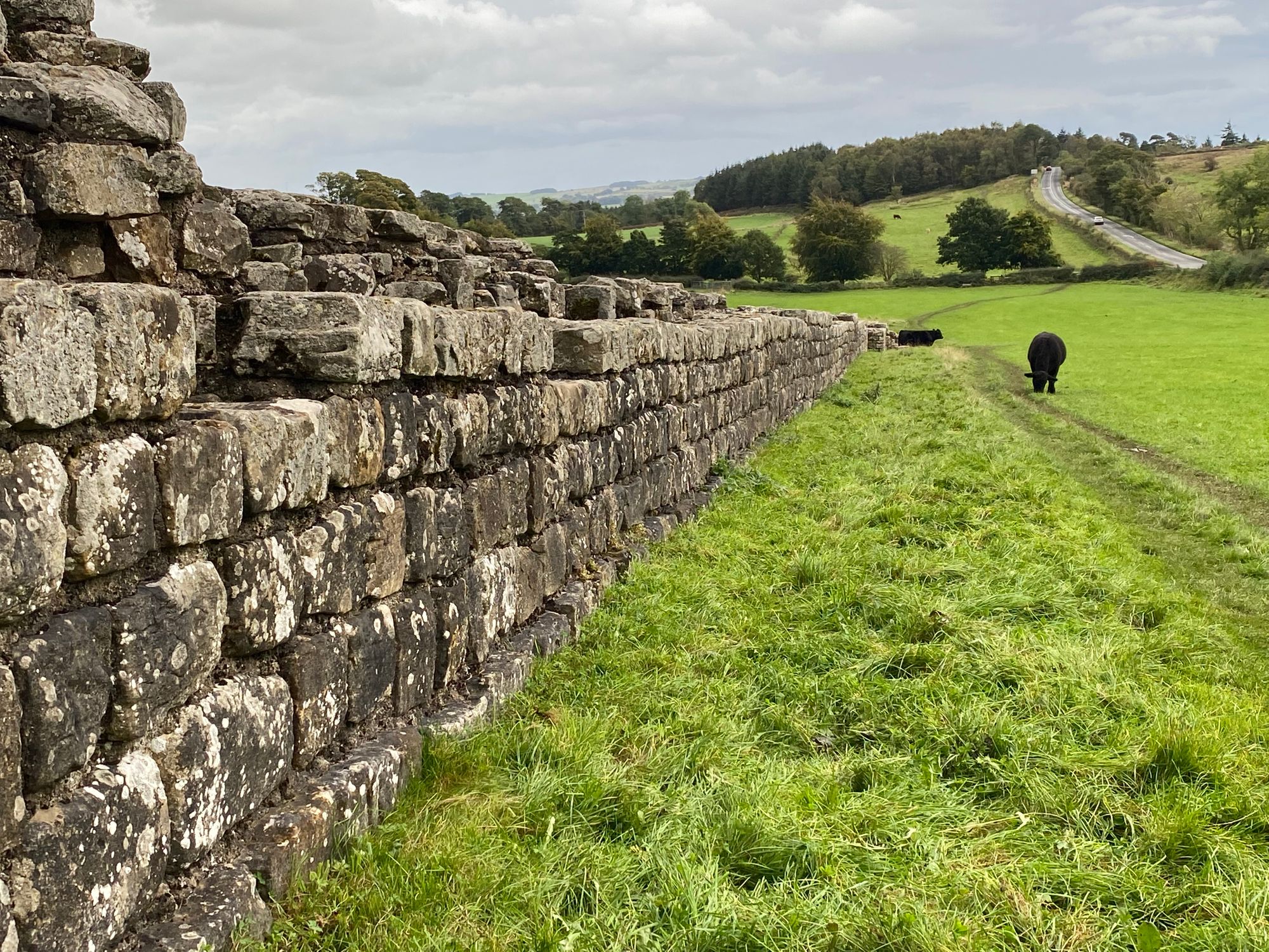
It was started in 122 AD and took six years to build. It was an impressive military structure that involved not only a 1o foot wide and 2o foot high wall with remparts, but also forts, towers, turrets and milecastles with berms and large ditches called vallums on both the northern and southern sides of the wall. It stretched 84 miles from the Irish Sea inlet to the North Sea and was manned by two or three Roman legions and their auxilaries - approximately 15,000 soldiers and cavalry.
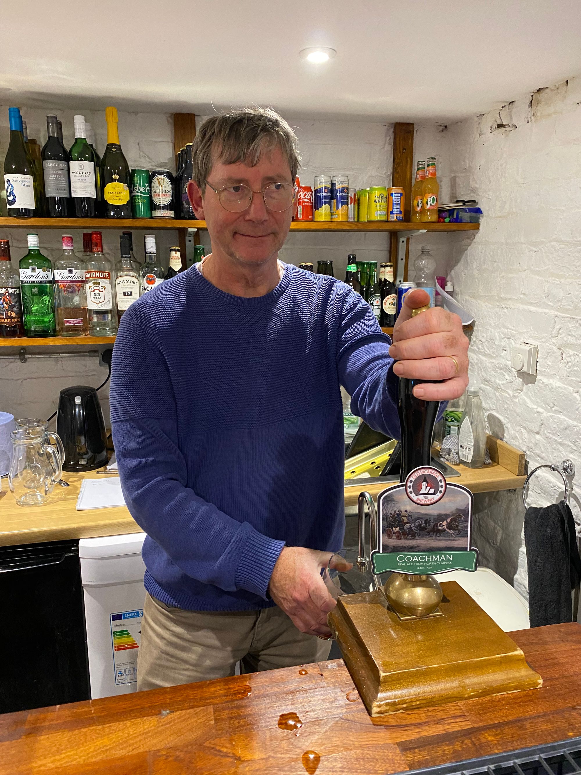
Another long day with some rain. Rebecca and Tom pulled out at Oldwall and took a cab to their lodgings at Brampton. We stayed the night at The Old Vicarage in Walton.

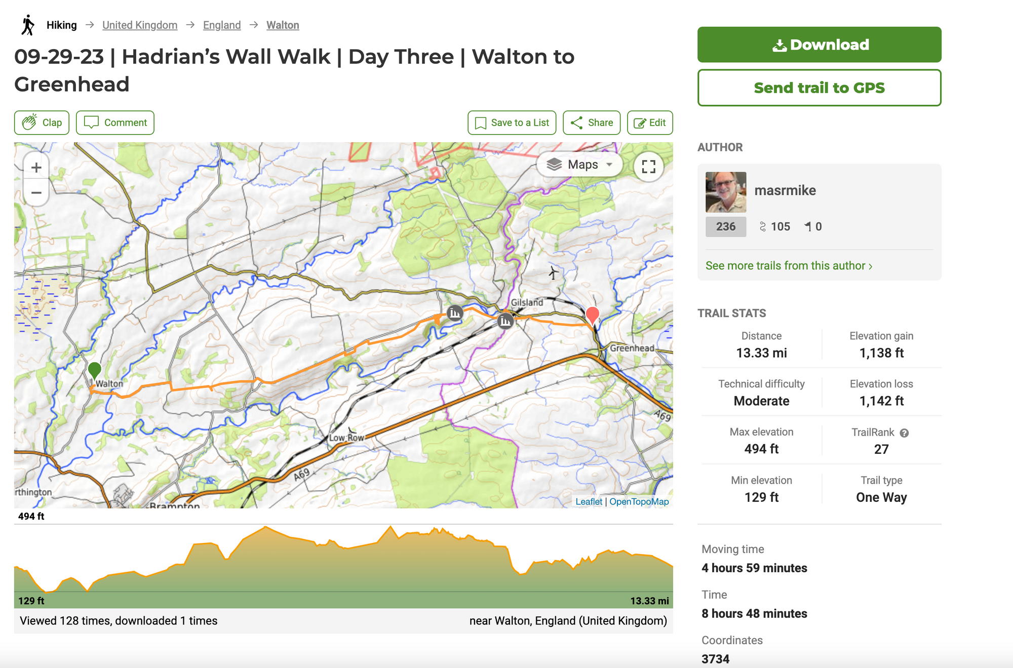
Day Three | 29 September | Walton to Greenhead
After a delicious English breakfast, Tom and Rebecca (coming from Brampton) met us at the B & B and we started at around 10am. The sun was out and we had entered hill country.
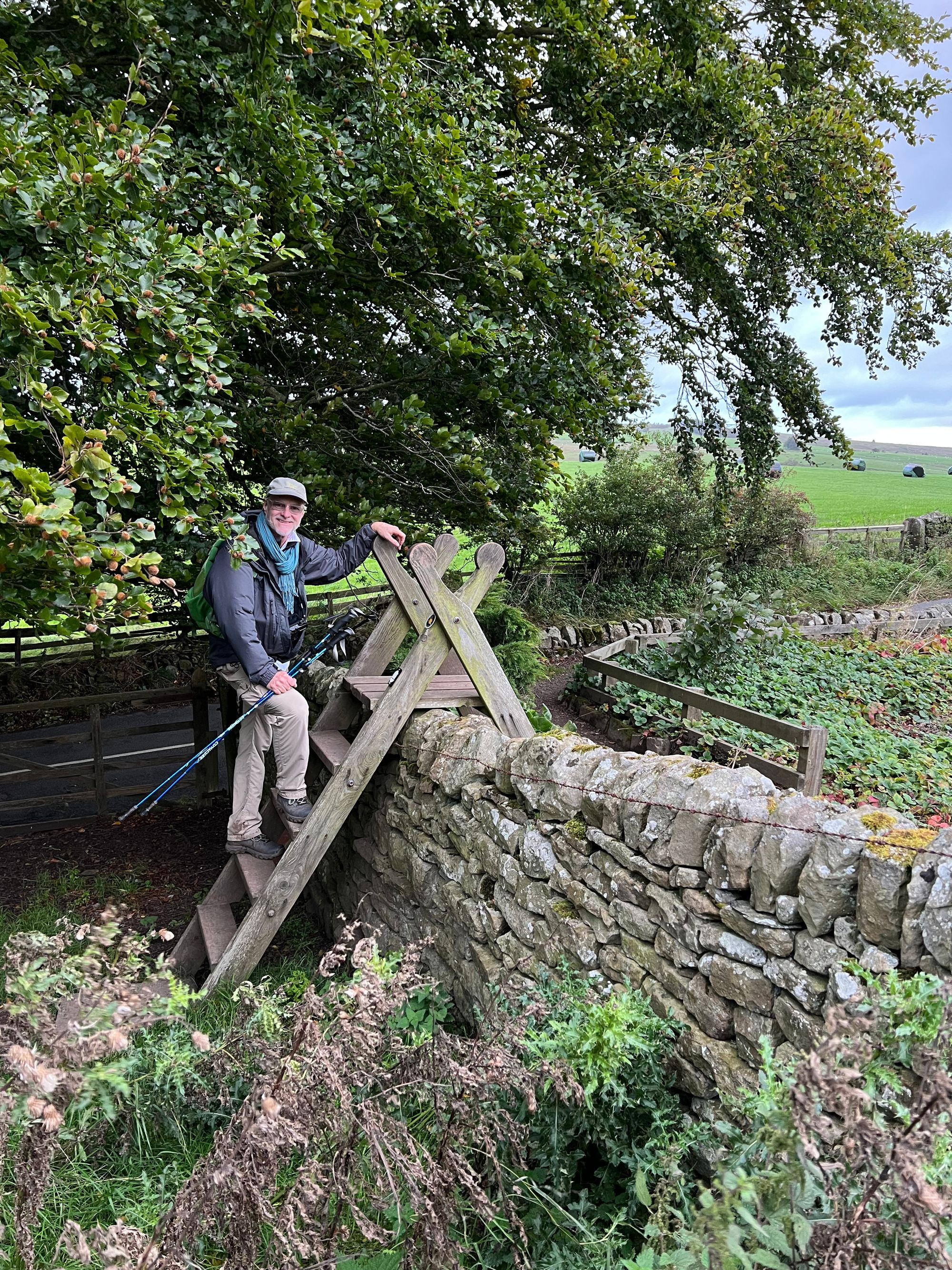
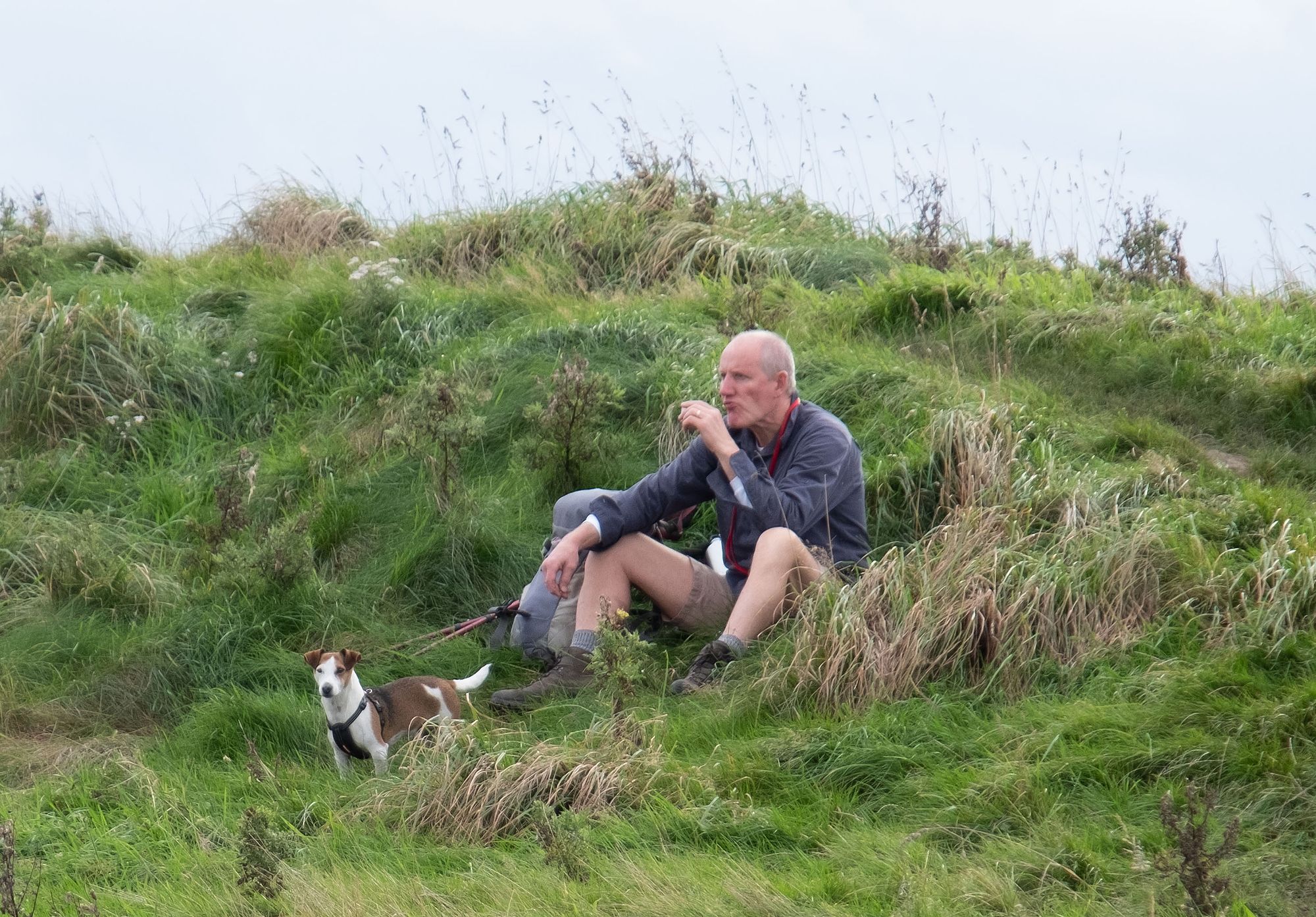
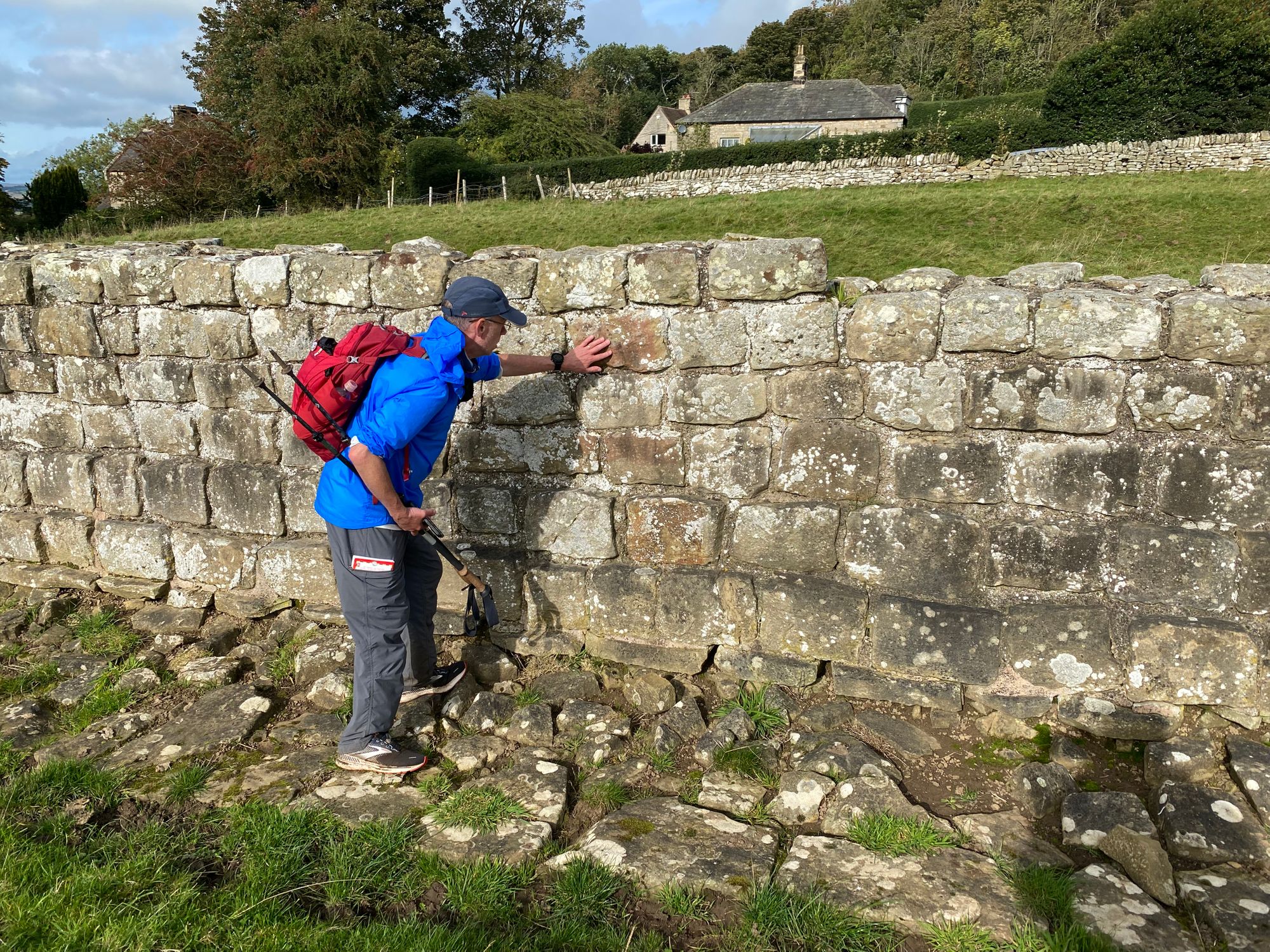
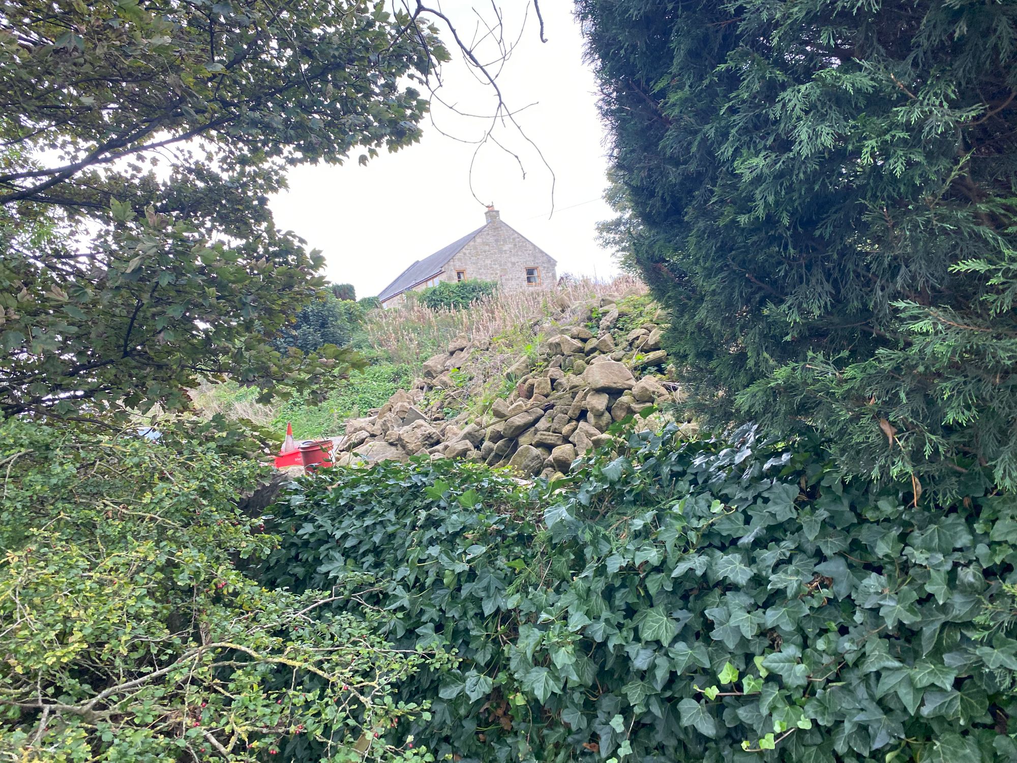
Today, we started off together, but after I stopped to photograph a church using the Fujifilm camera, I realized after about a half mile or so on that I have left my walking poles. I went back to get them and Al, Tom and Rebecca continued on. However, after collecting my poles, I missed a turnoff from the road, only realizing it when the road came to a fork. I was able to regain the path and assumed that the others were ahead of me.
Well, that assumption was wrong and I should have tried to communicate with them. After some time, at a rest stop where I expected that they may have waited for me, I turned the internet back on and there were no message, so I forged ahead. Another mistake. At that point I should have called them. Well, when I reached the town of Banks and encountered other hikers and inquired if they had seen them and the answer was negative, I then called and made contact with Al.
They had stopped on the path and had waited for me. It was the portion of the path I had missed. Now they were quite aways behind me and Tom and Rebecca were hurting and decided to pull out. Al, accompanied them off the trail to help in getting them transportation to that night's lodgings. He said press ahead and we'll meet up at the fort and museum of Birdoswald.
The lesson here, is to have a plan if you get separated and to communicate when things don't feel right.
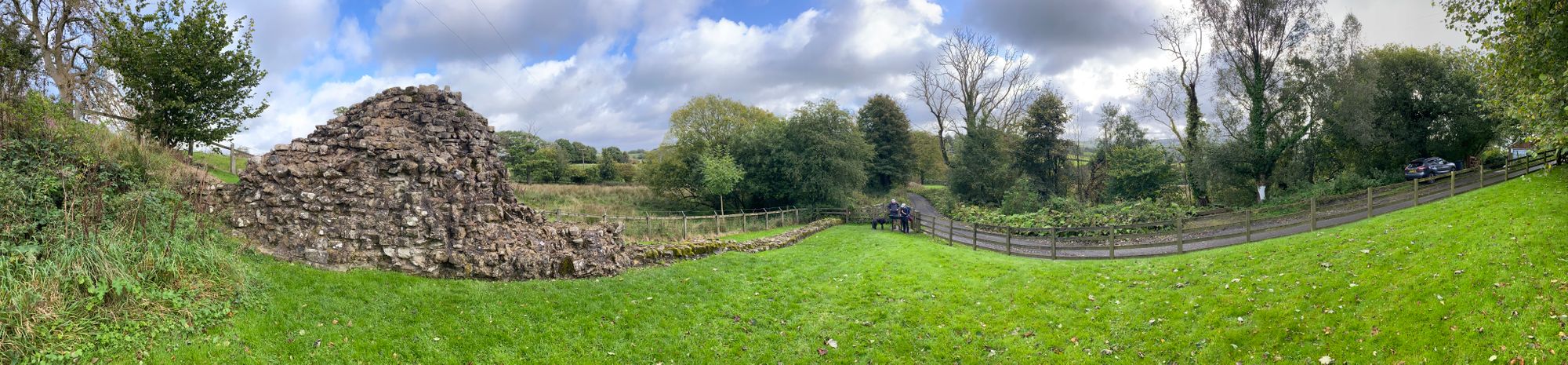
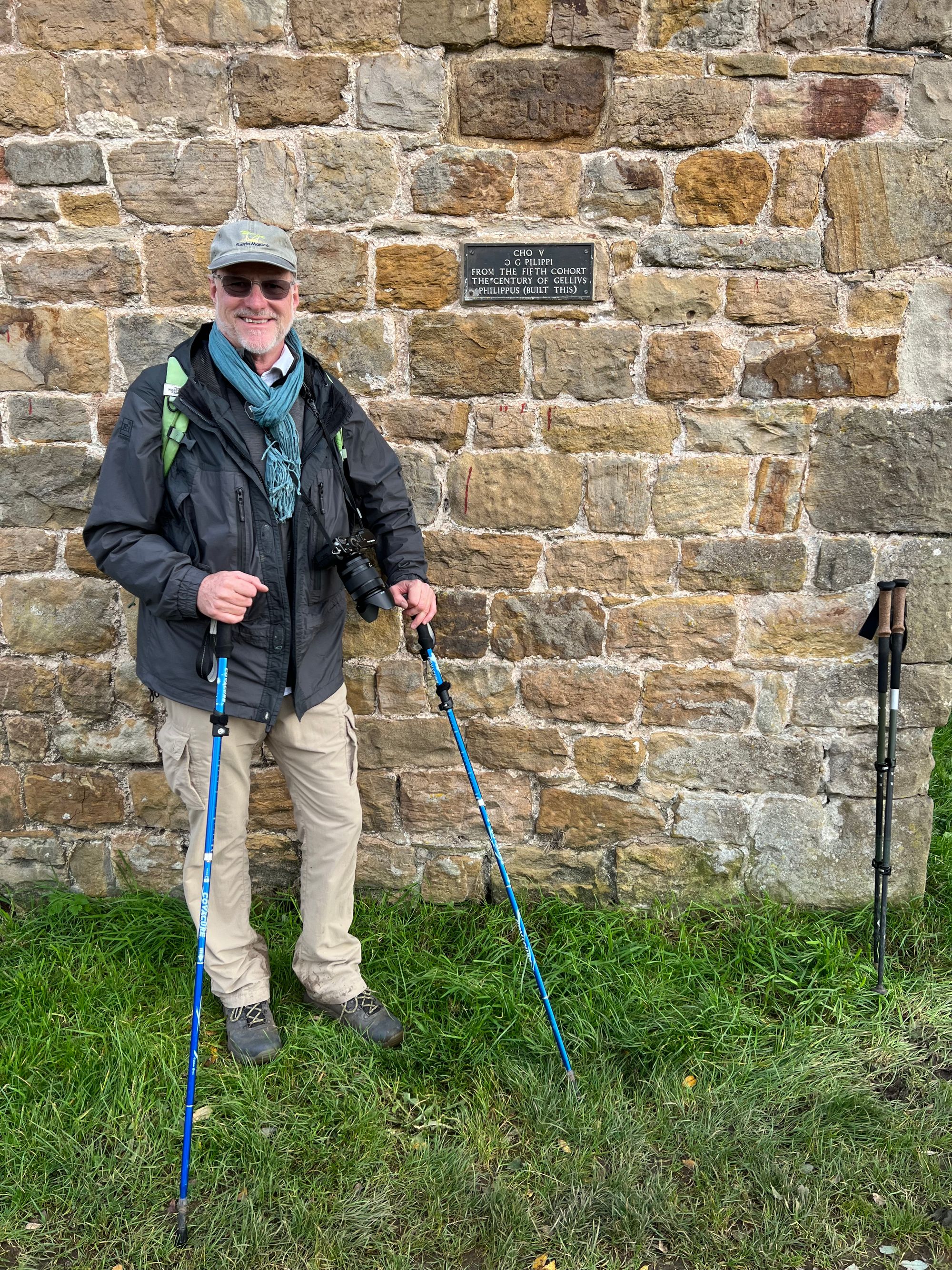
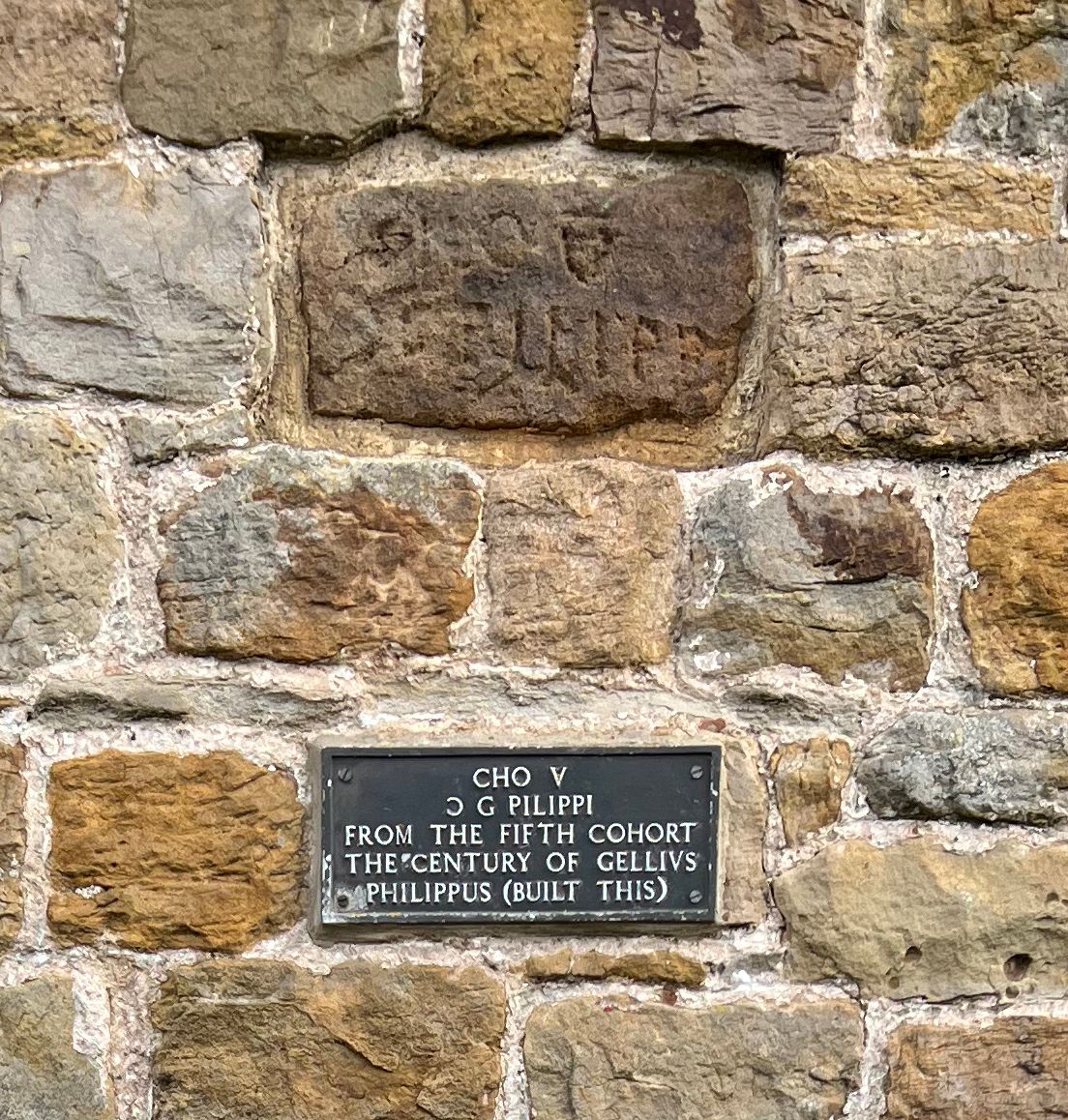
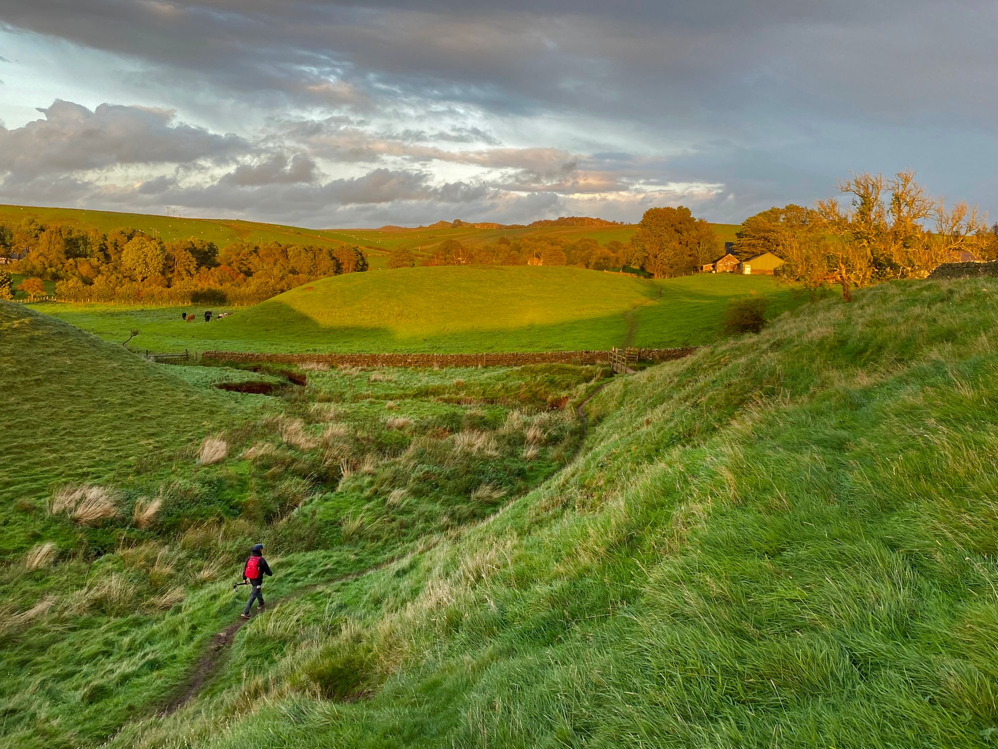
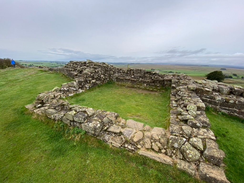
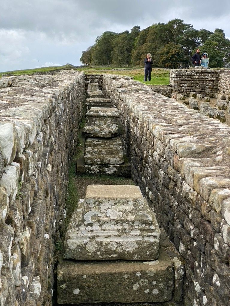
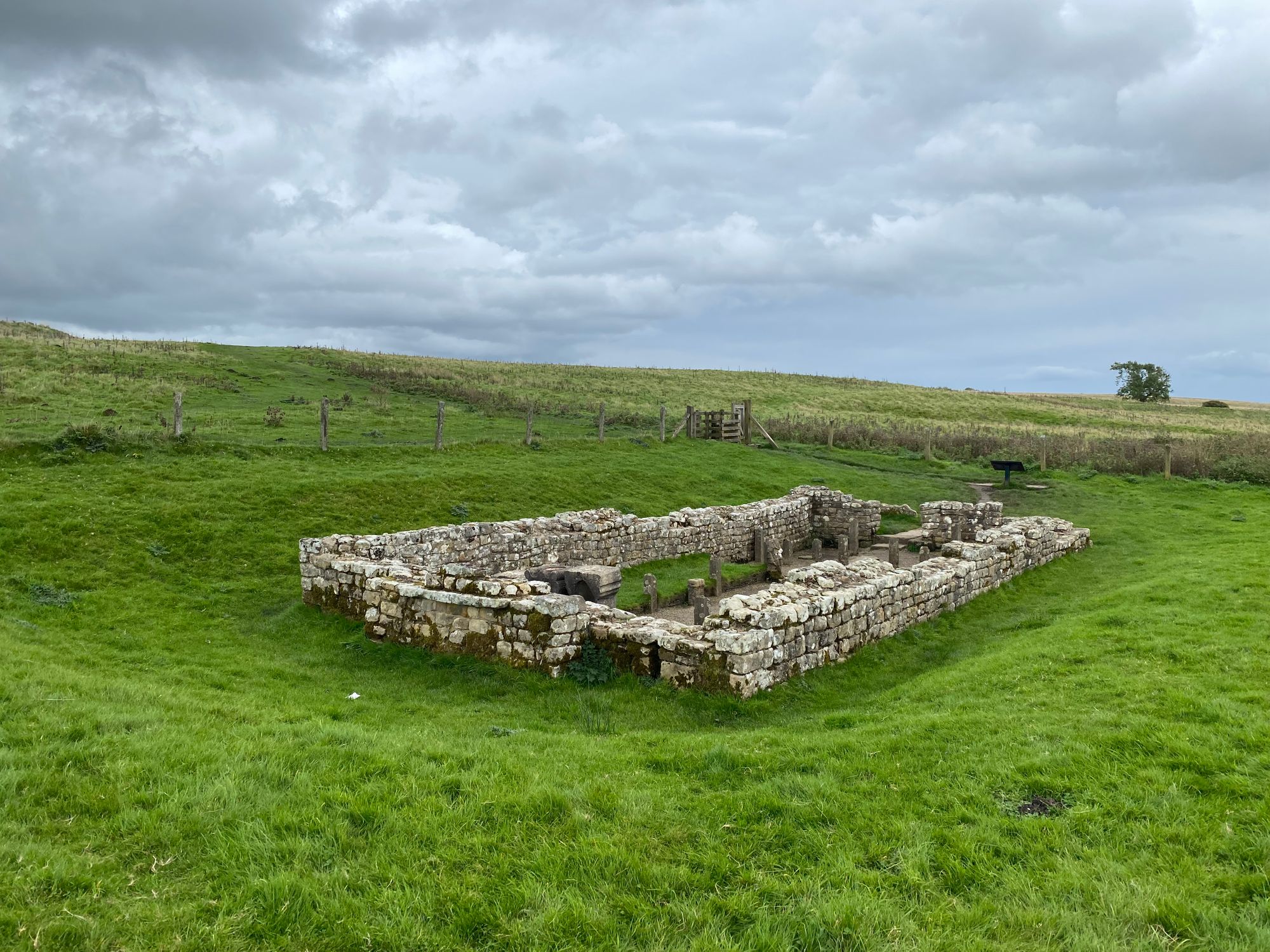
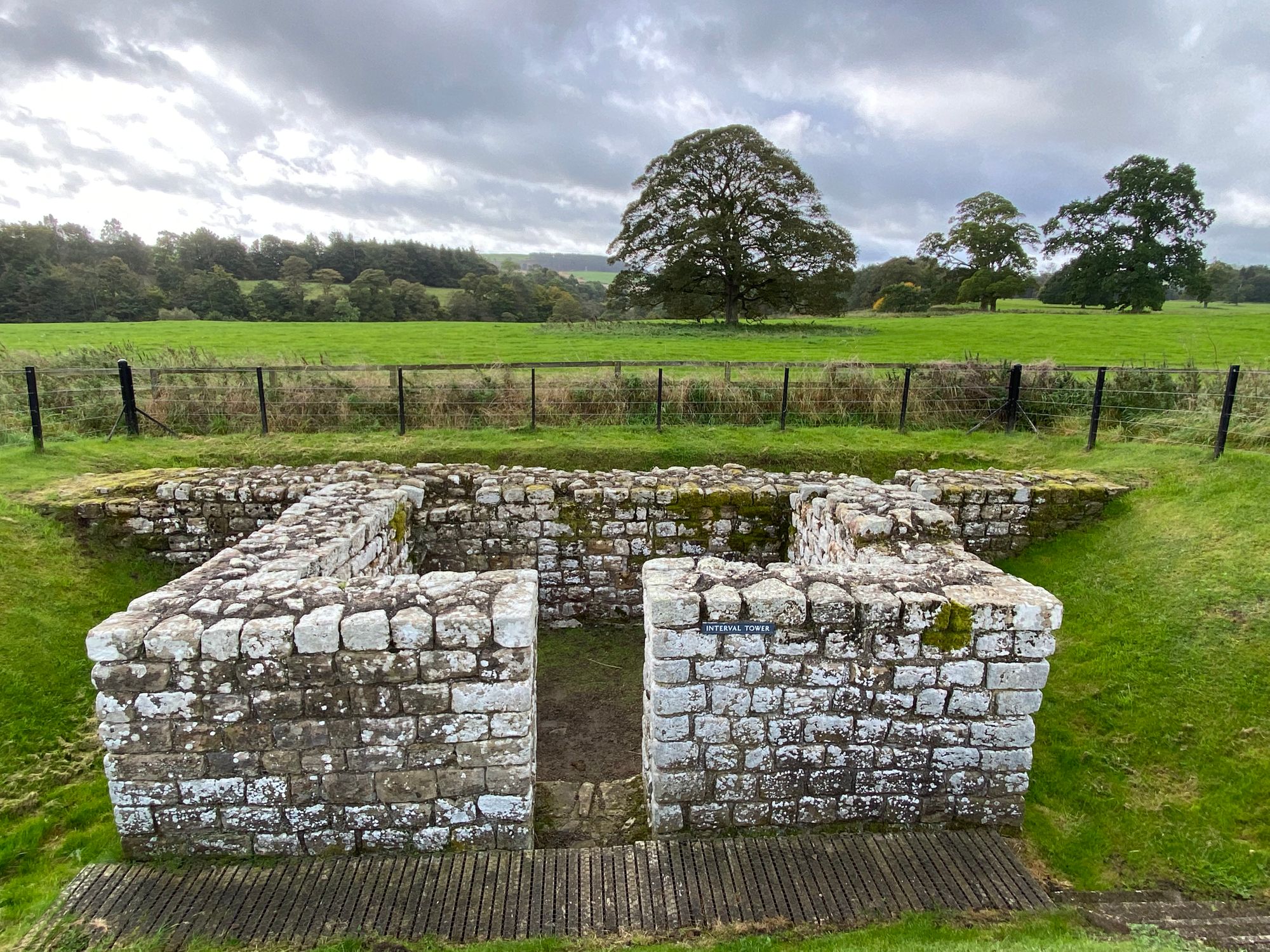
Finally, a few miles into the third day, the first portion of the wall.
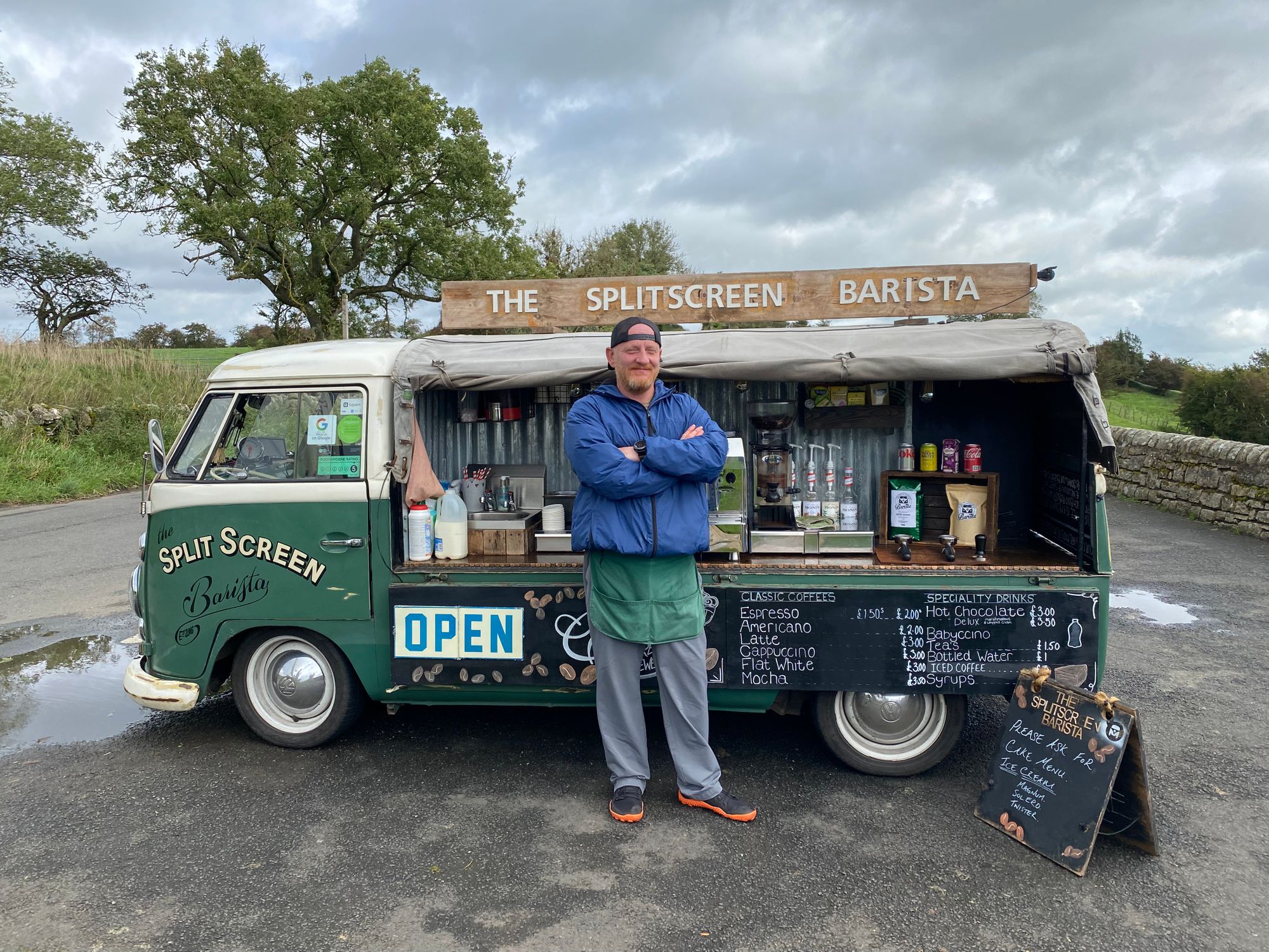
Because of the pole incident which became a running joke, I walked alone most of the day. It was a dramatic day with strong winds blowing dark clouds across the rolling landscape with extended periods of bright sunlight. I thought of my dad who on a road trip from London to Scotland had brought us to the wall some 40 years earlier. I imagined it might have been where I stopped to enjoy a hot chocolate at The Split Screen Barista.
I have gone on many travels and adventures with my father and it has greatly influenced my outlook and attitude towards life. He had a great sense of adventure and was an avid historian and I can imagine him telling us the story of Hadrian's Wall. I miss him and felt his presence.
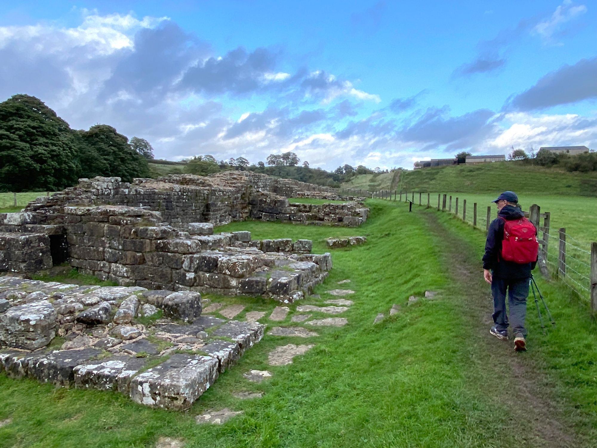
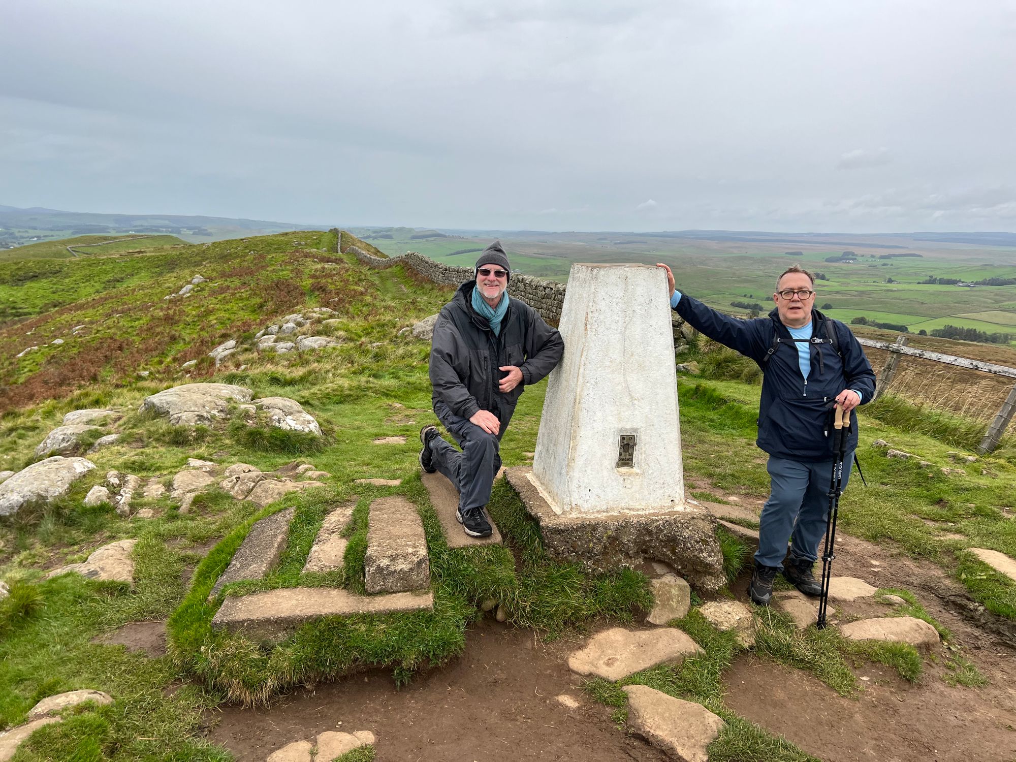
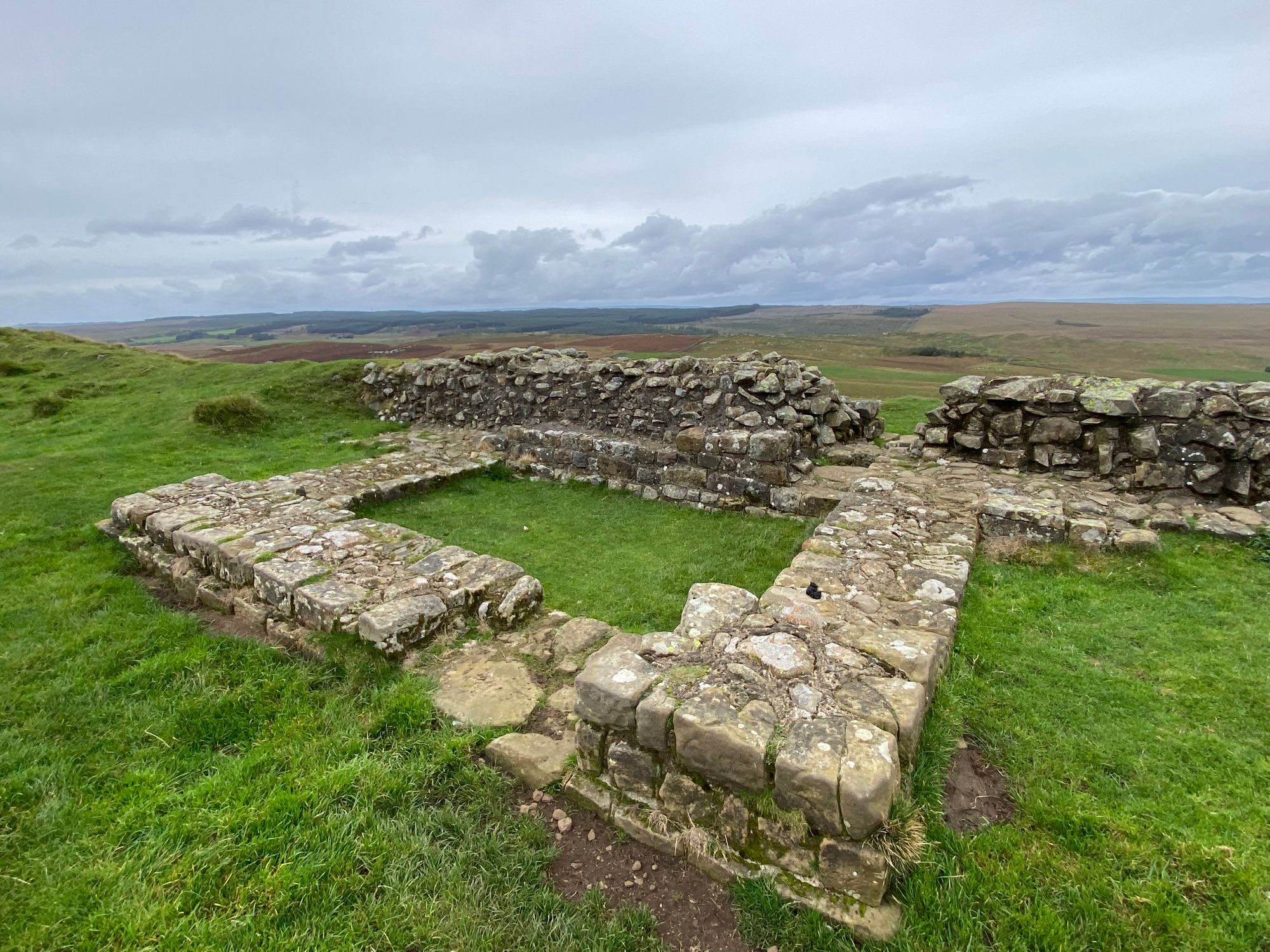
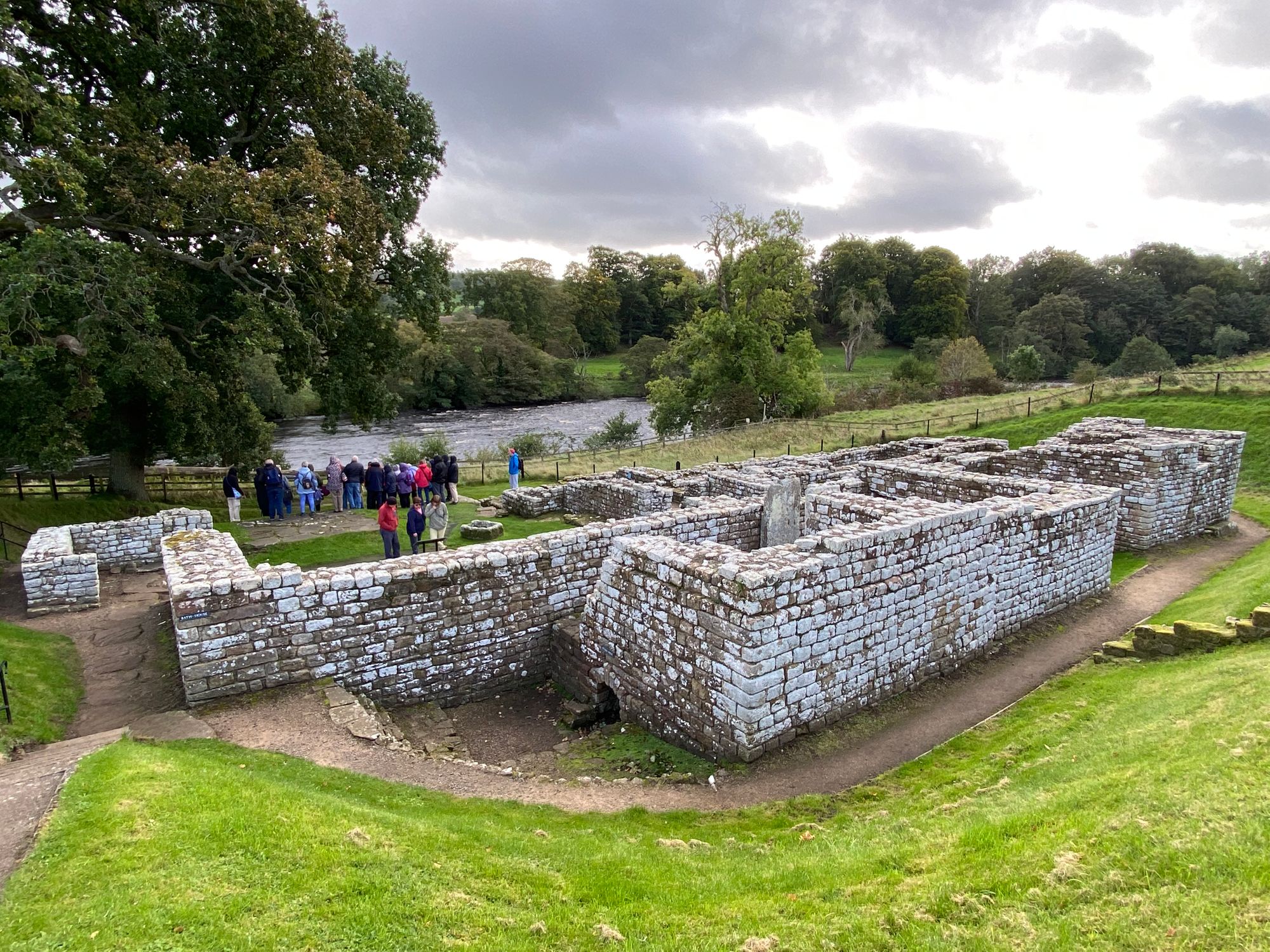
I arrived at the Roman fort of Birdoswald at 1:30pm and eventually Al rolled in about two hours later. It's a dramatic location perched on cliffs overlooking England to the south and the rolling hills of Northumberland to the north.
Because of the miscommunication and necessity of an off trail journey to Lanercost for a cab, we were running late.
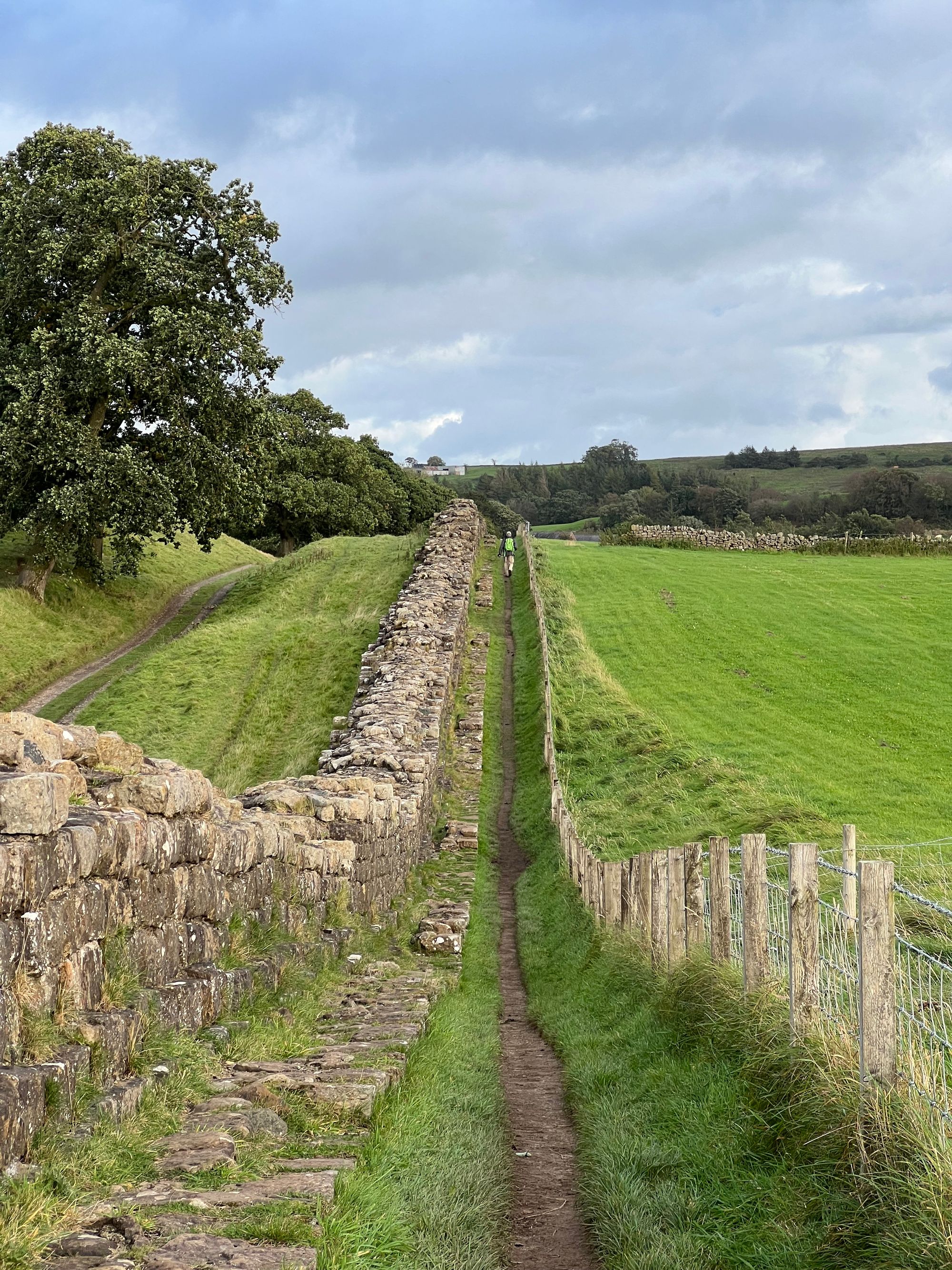
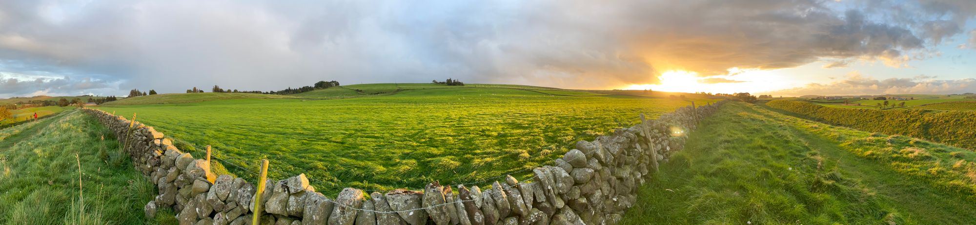
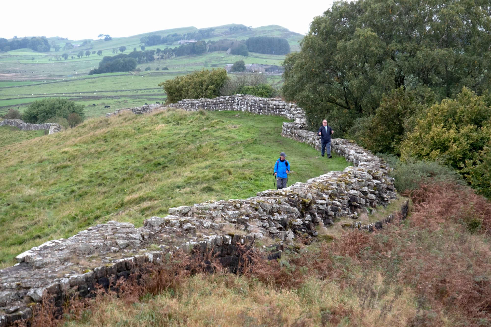
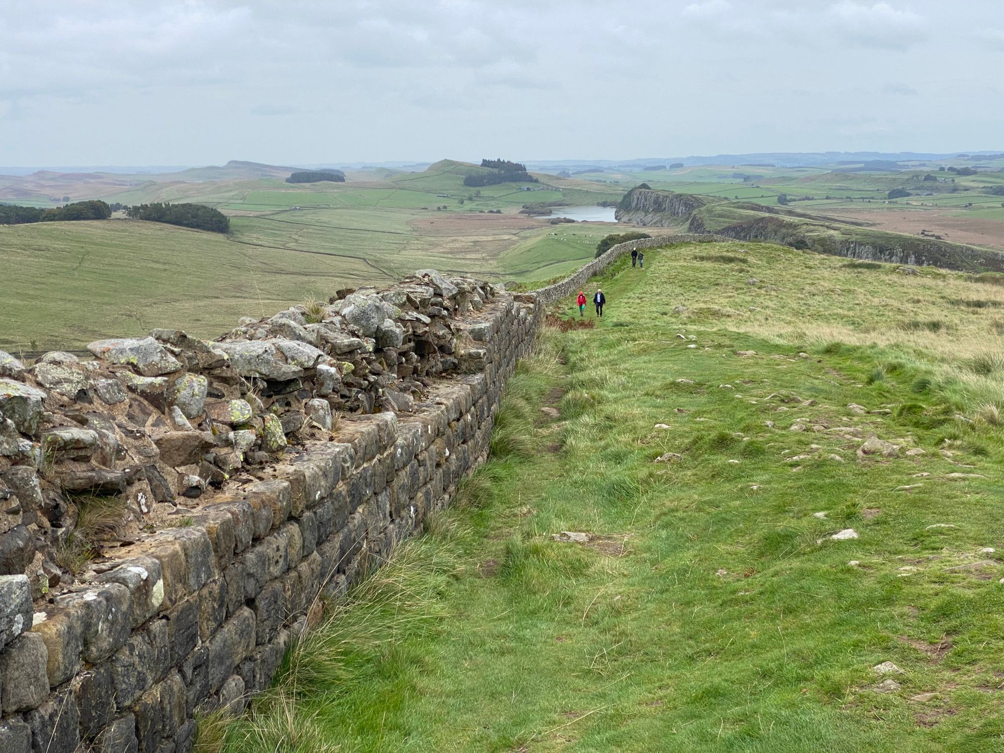
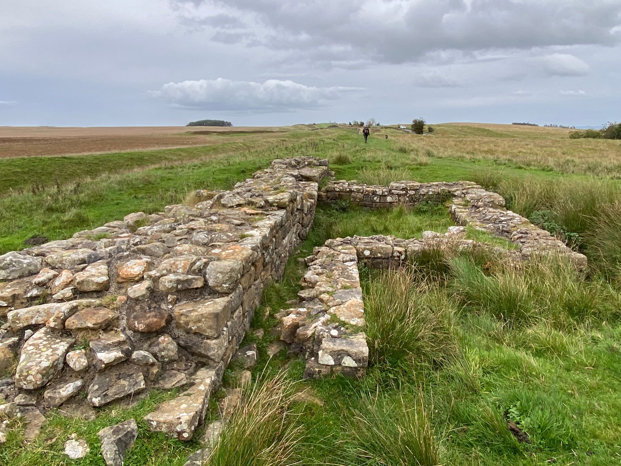
We were now following significant portions of the wall and vallums and the landscape was beautiful with rolling hills with copses of woods, creeks, farm houses and sweeping vistas of green and accumulating clouds.
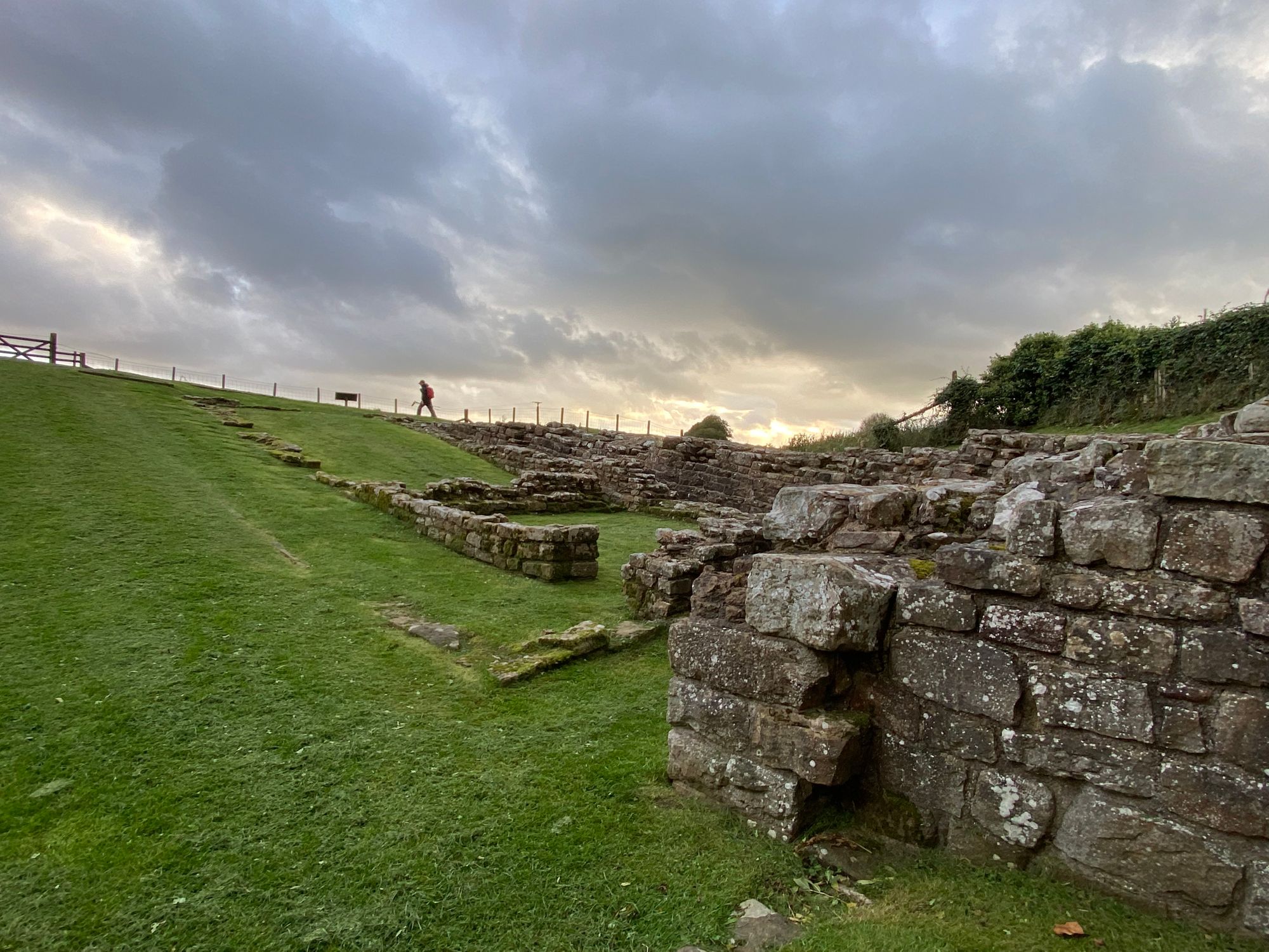
It was getting late and sunset was coming up. The lighting was absolutely spectacular with the setting sun shining through dark billowing clouds setting the grasses alight.
The mood it created lifted my spirits and we walked along lost in thought and appreciating the beauty and experience of the adventure, place and history.
Another long and rewarding day.
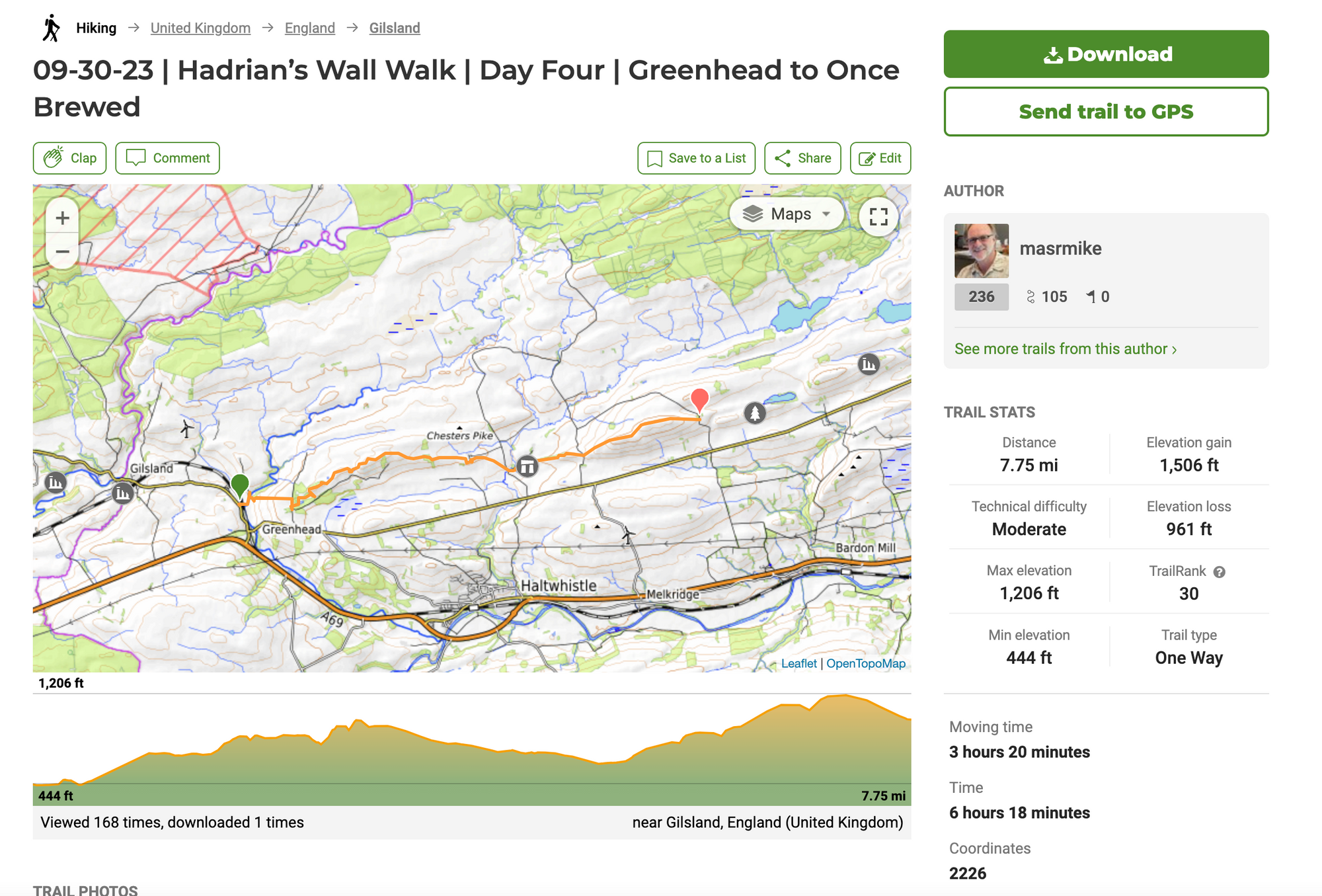
Day Four | 30 September | Greenhead to Once Brewed
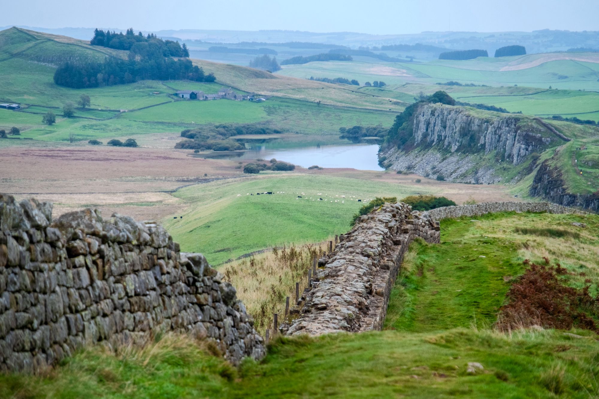
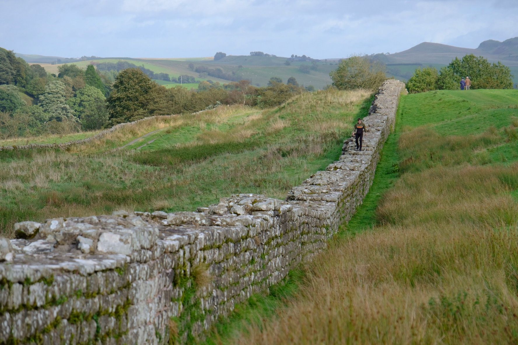
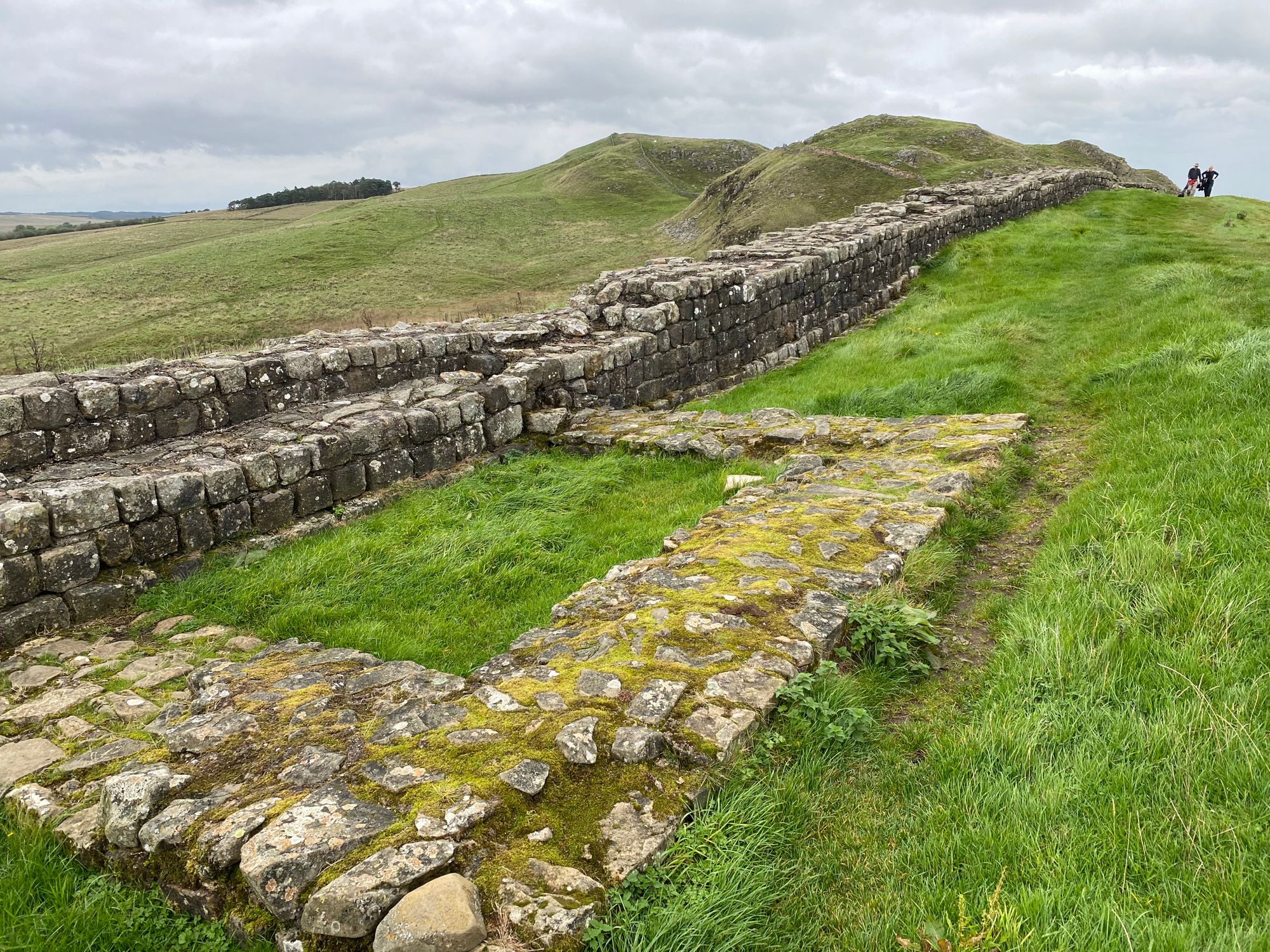
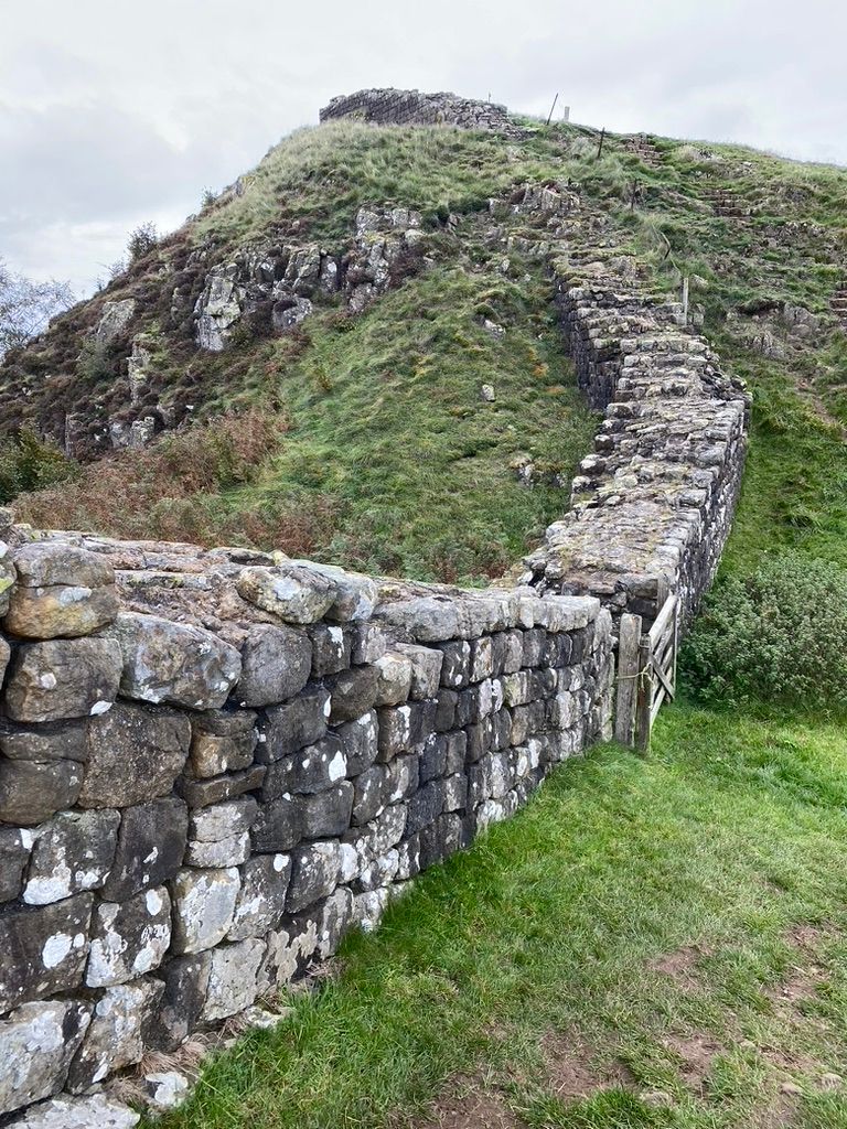
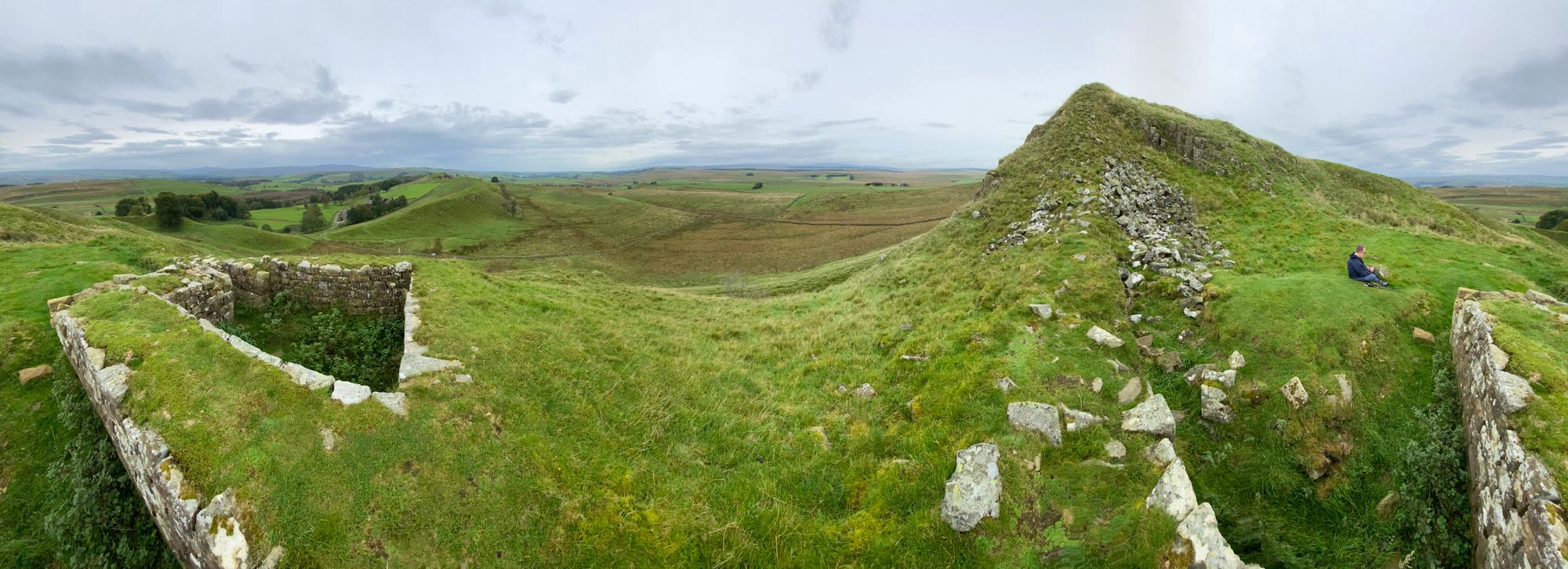
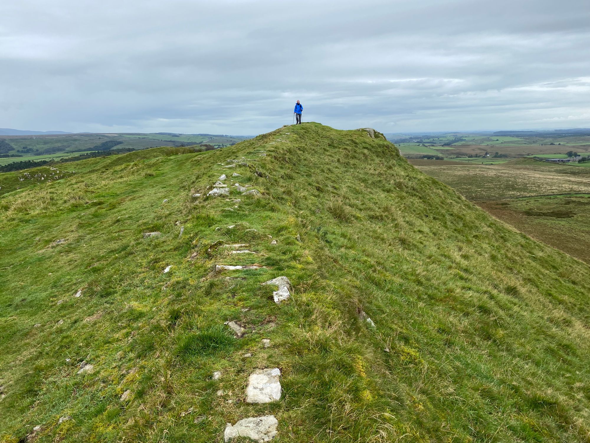
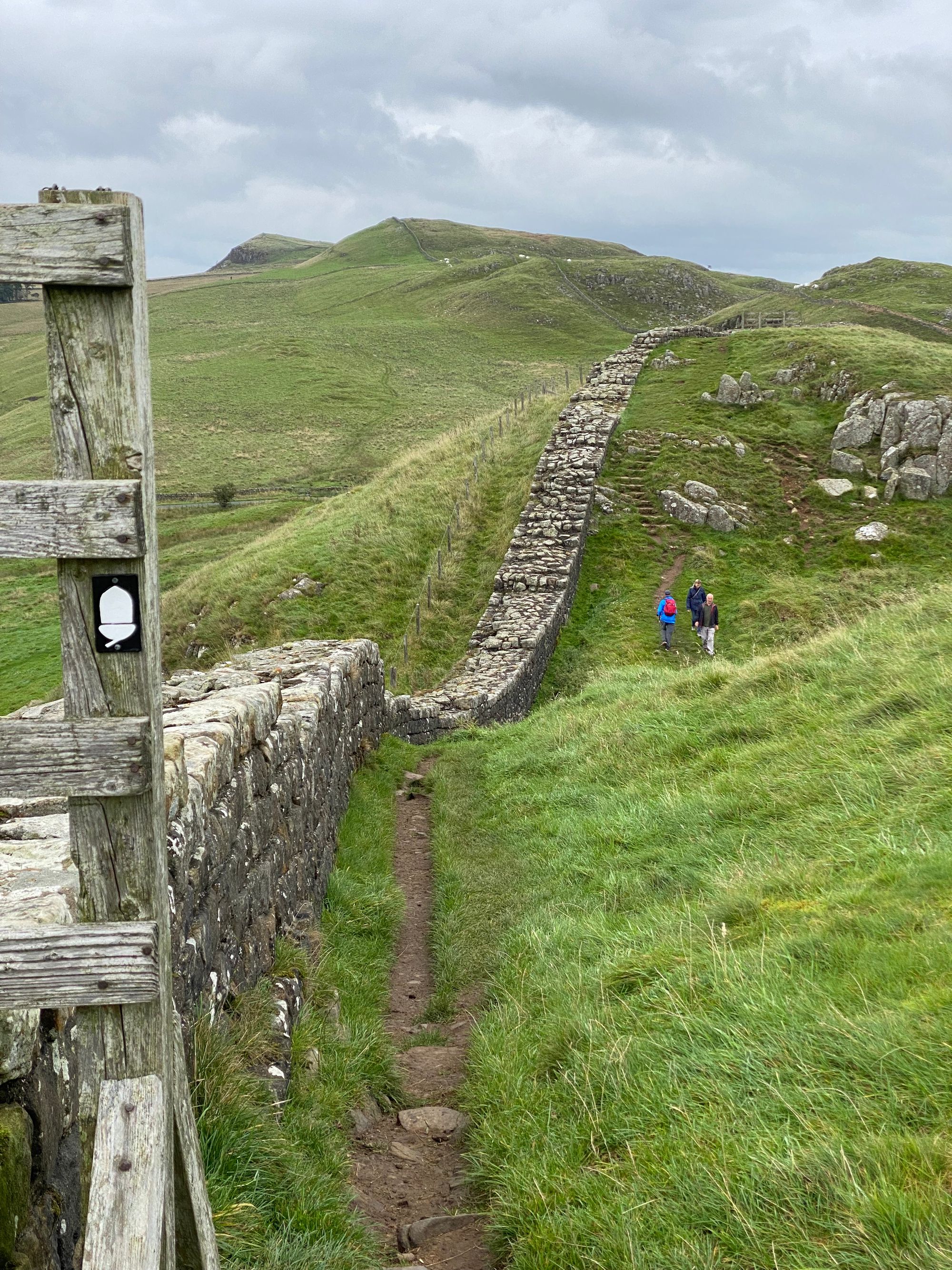
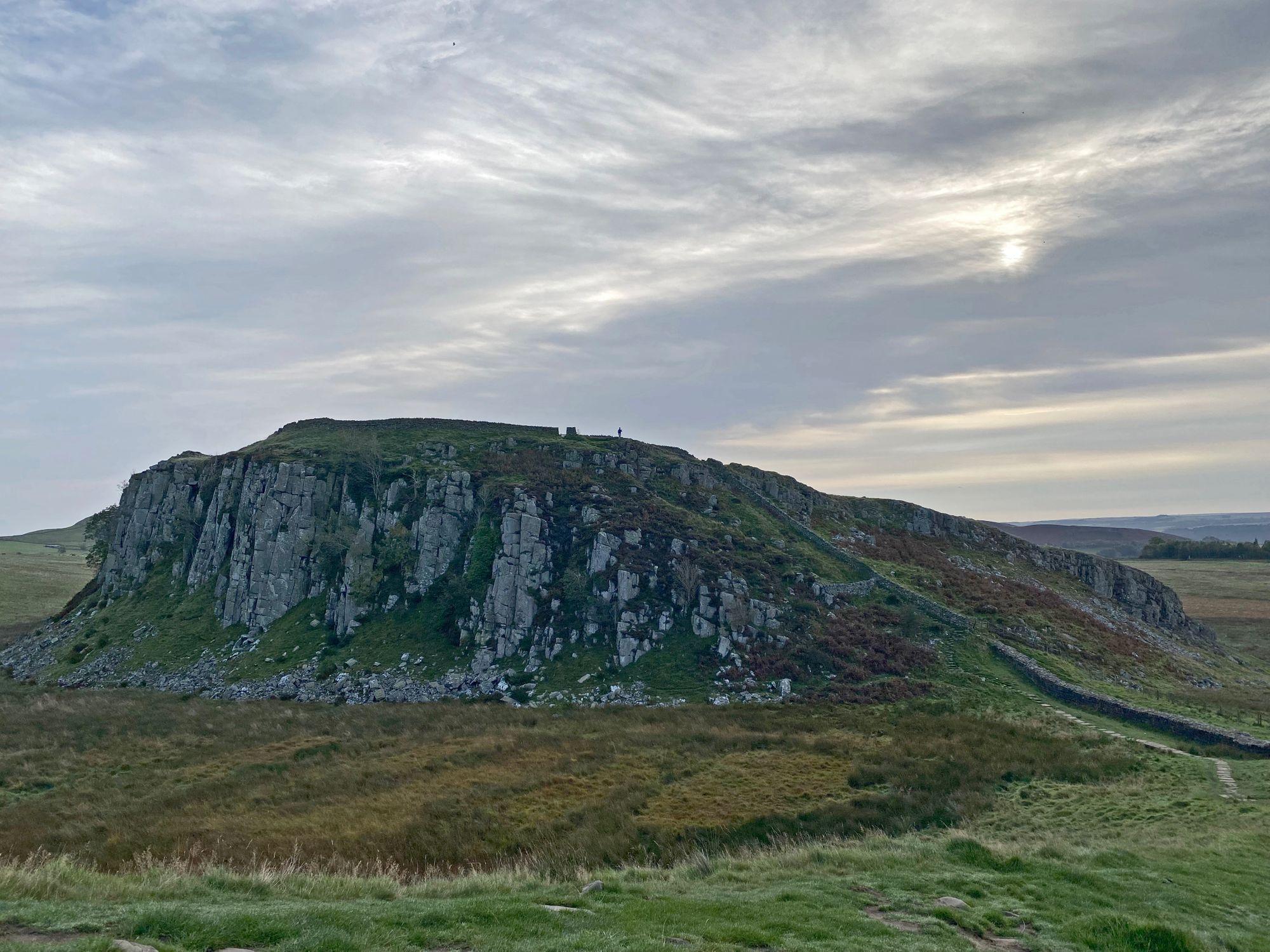
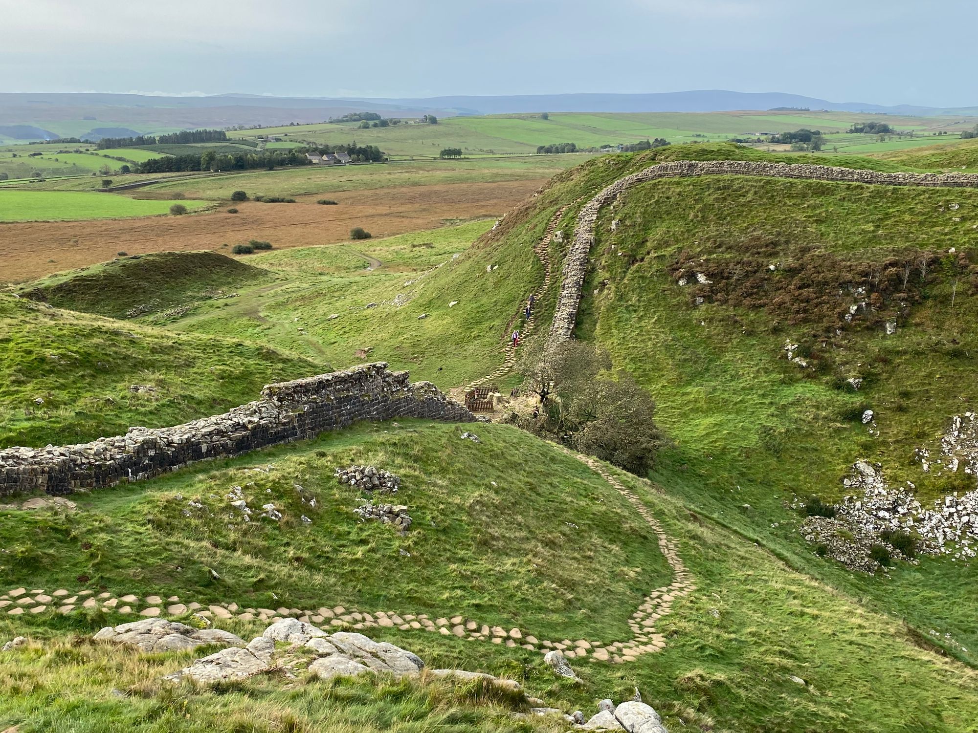
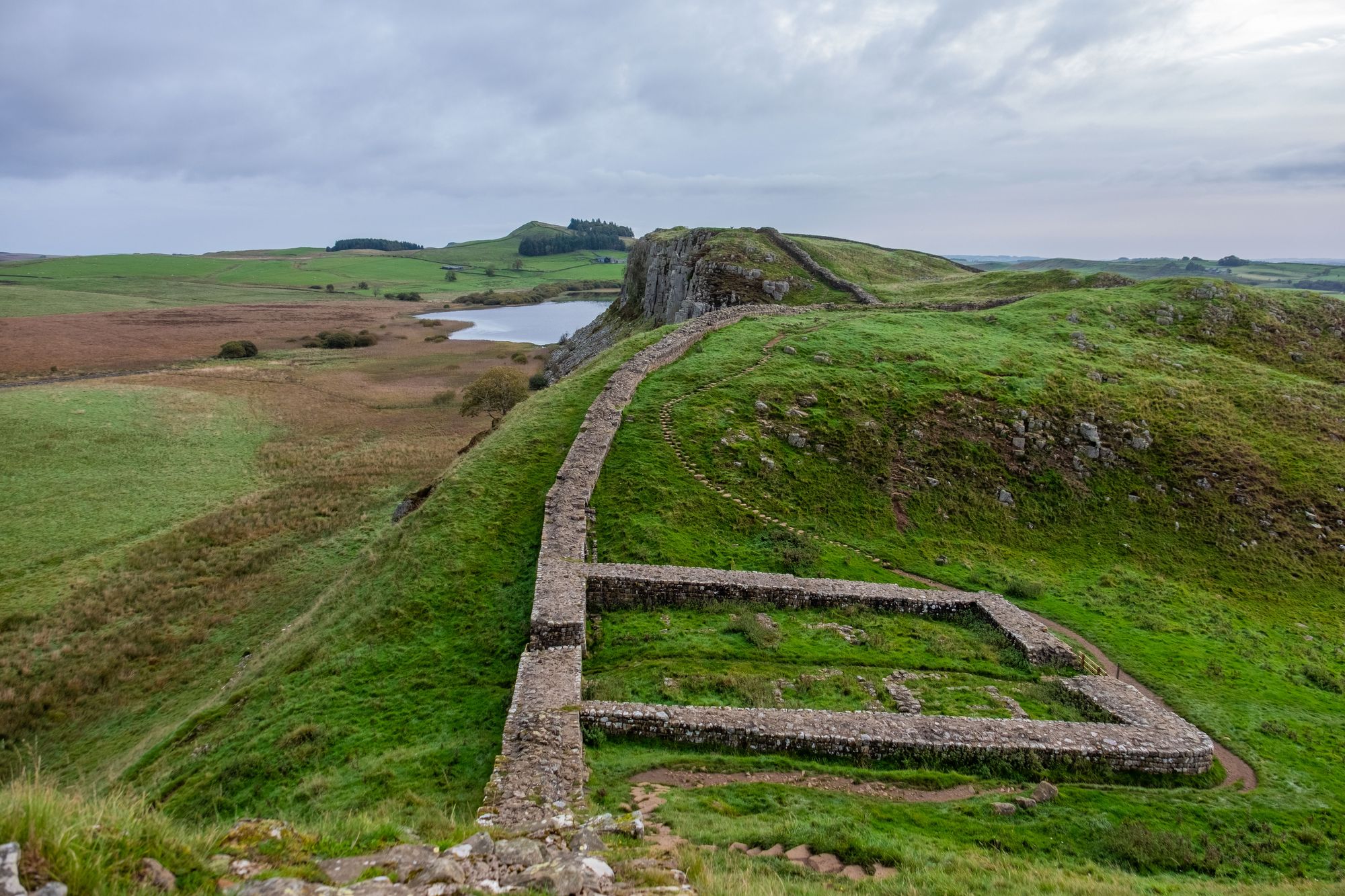
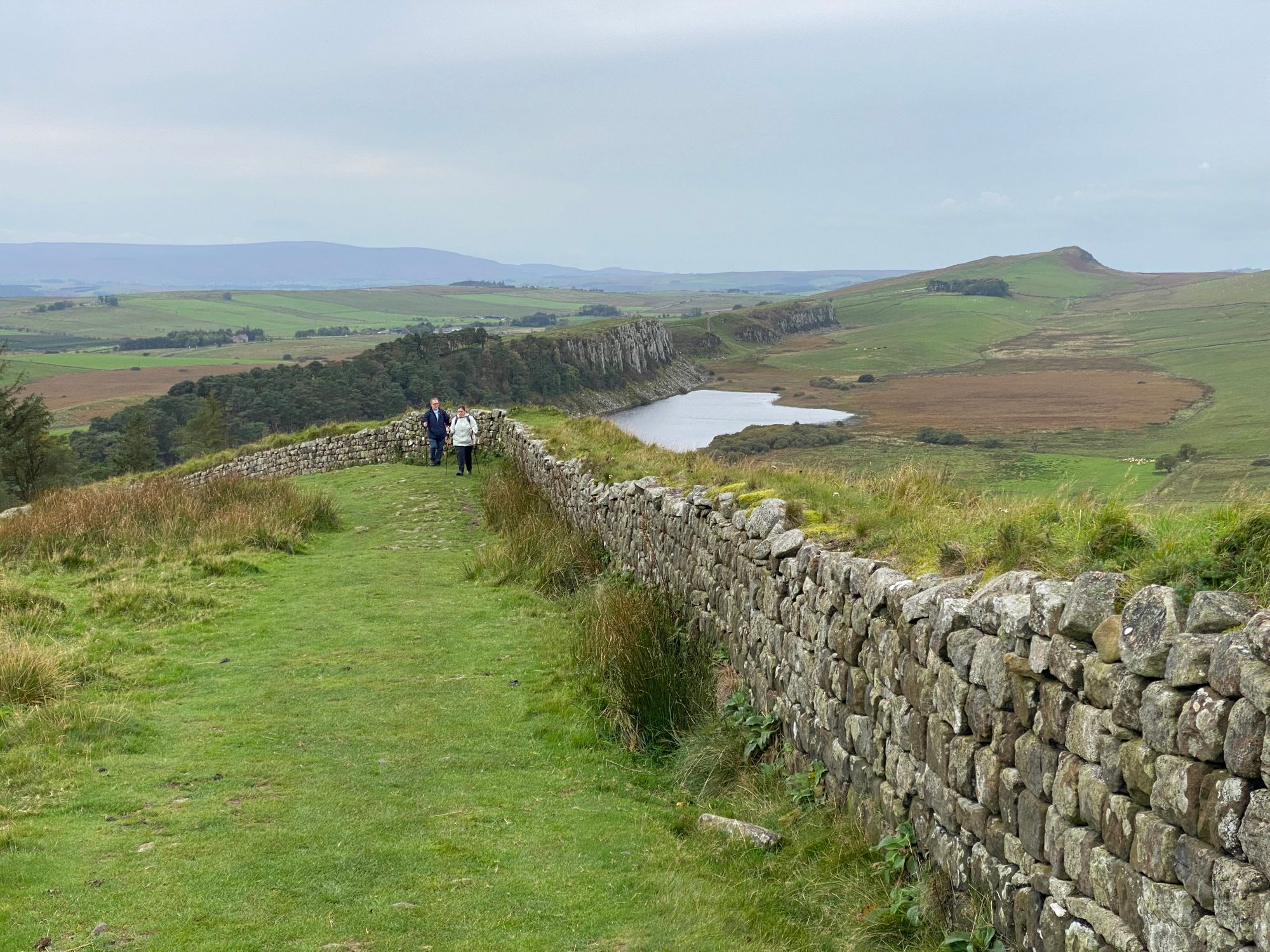
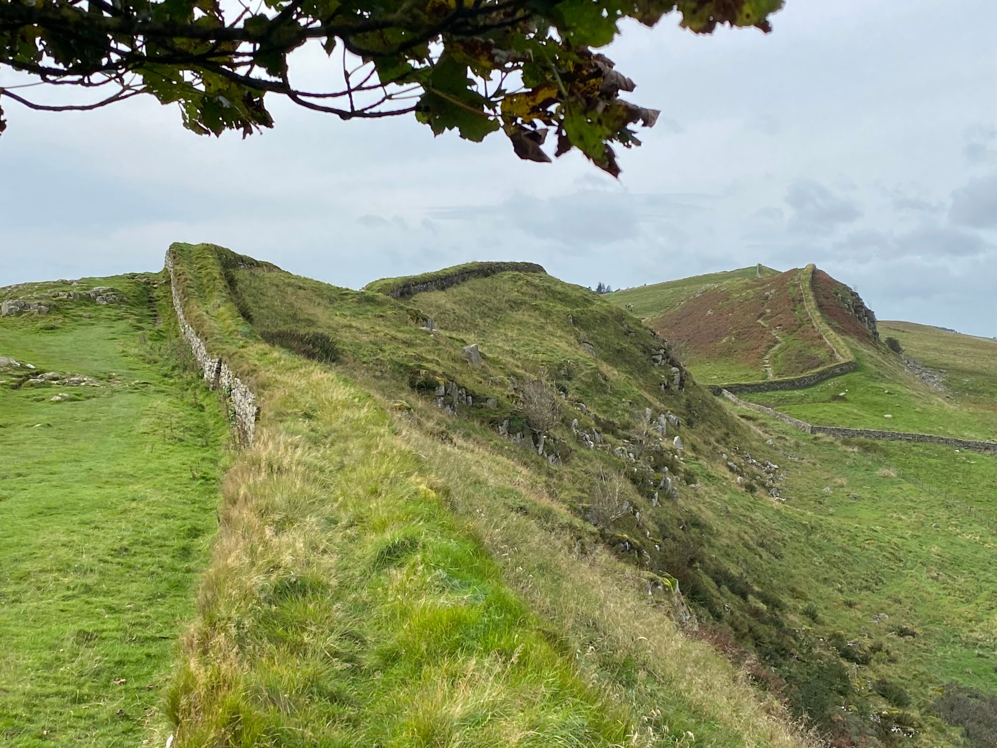
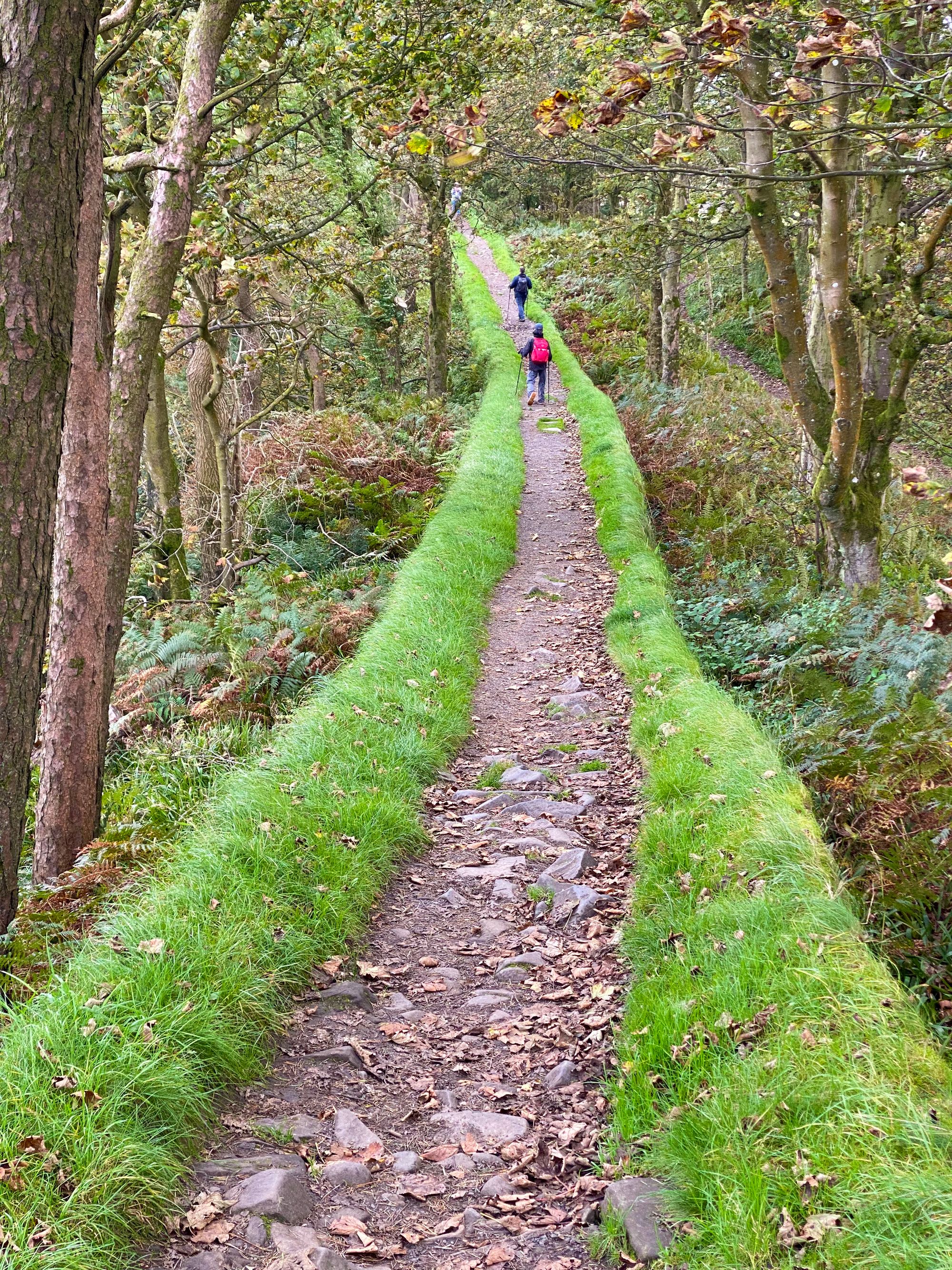
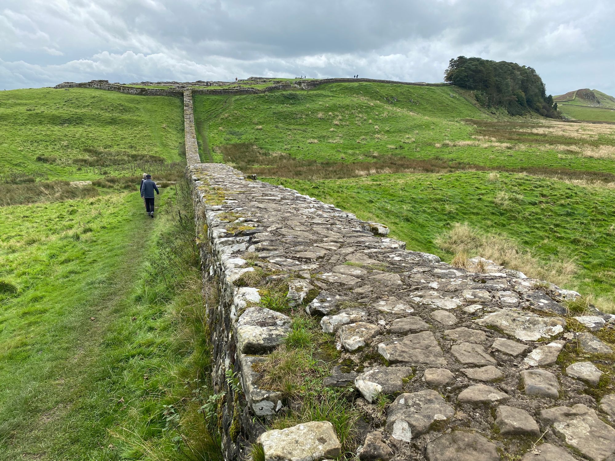
Today, we would start to walk the crags which stretch like giant steep-sloped waves across the center of northern England and act as a natural barrier to the north.
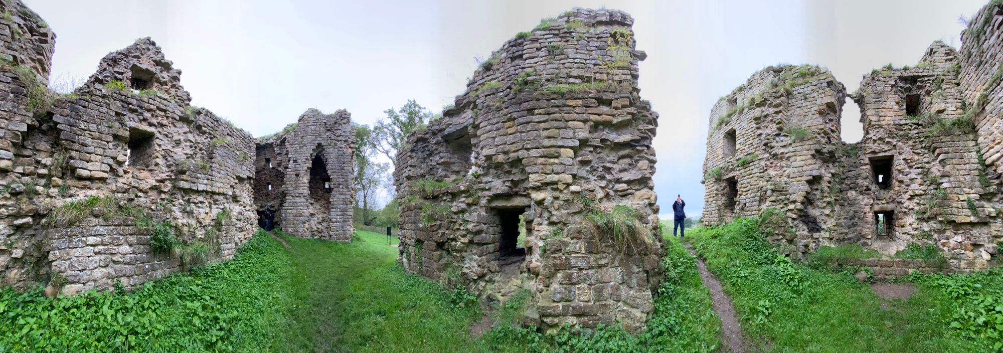
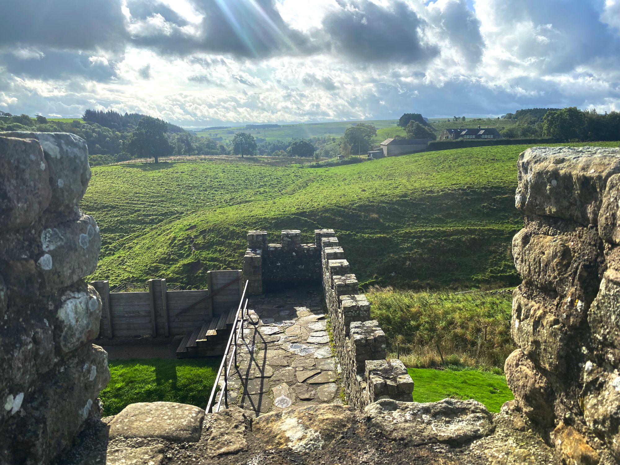
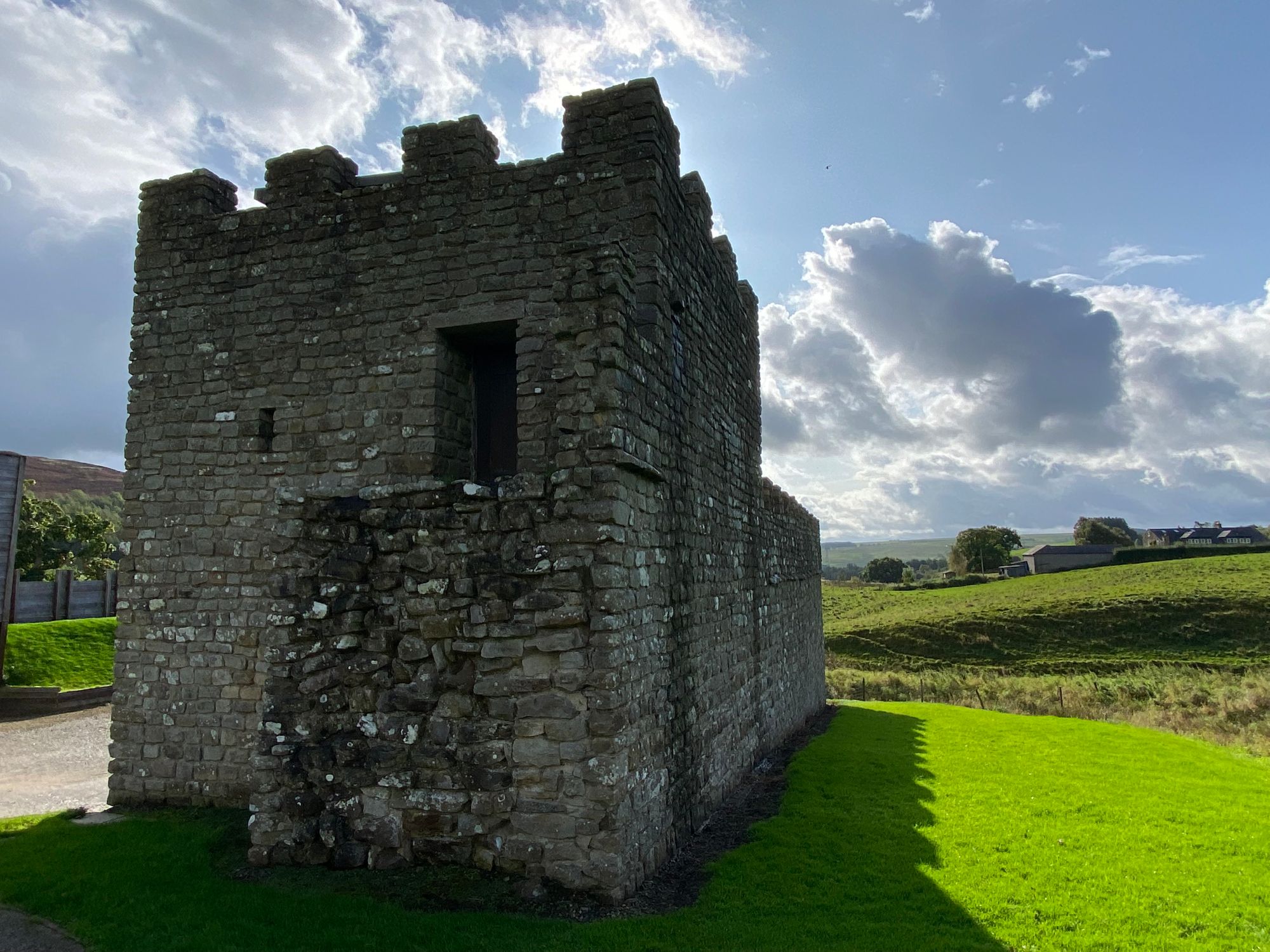
We headed out at 9am and visited the 14th century Thirlwall Castle. Much of the border lands between Scotland and England were lawless with reiver raiding parties making living near the wall dangerous. Those that chose to make a living in these areas, built thick-walled residences where the upper floors were essential safe rooms allowing raiders to break in and ransack the ground floor where animals were often kept.
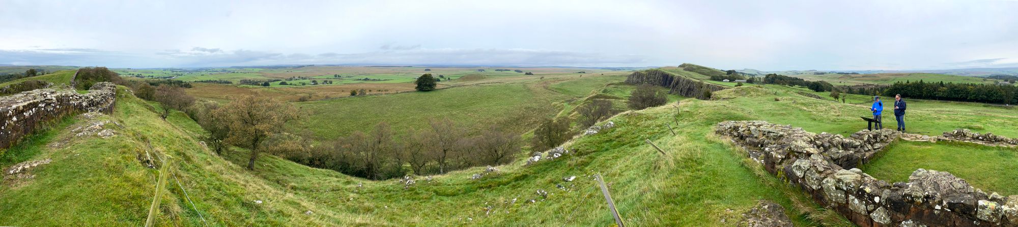
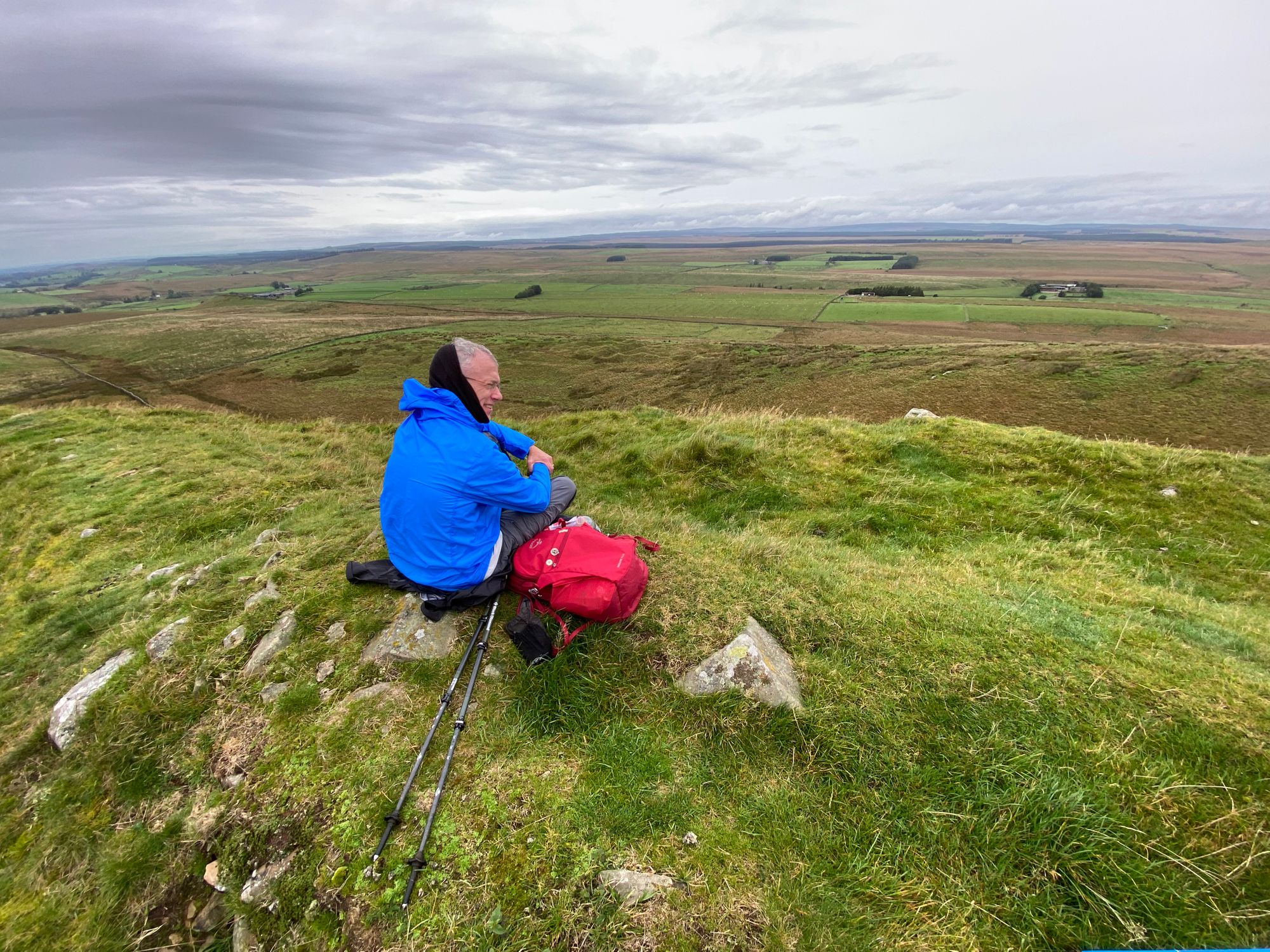
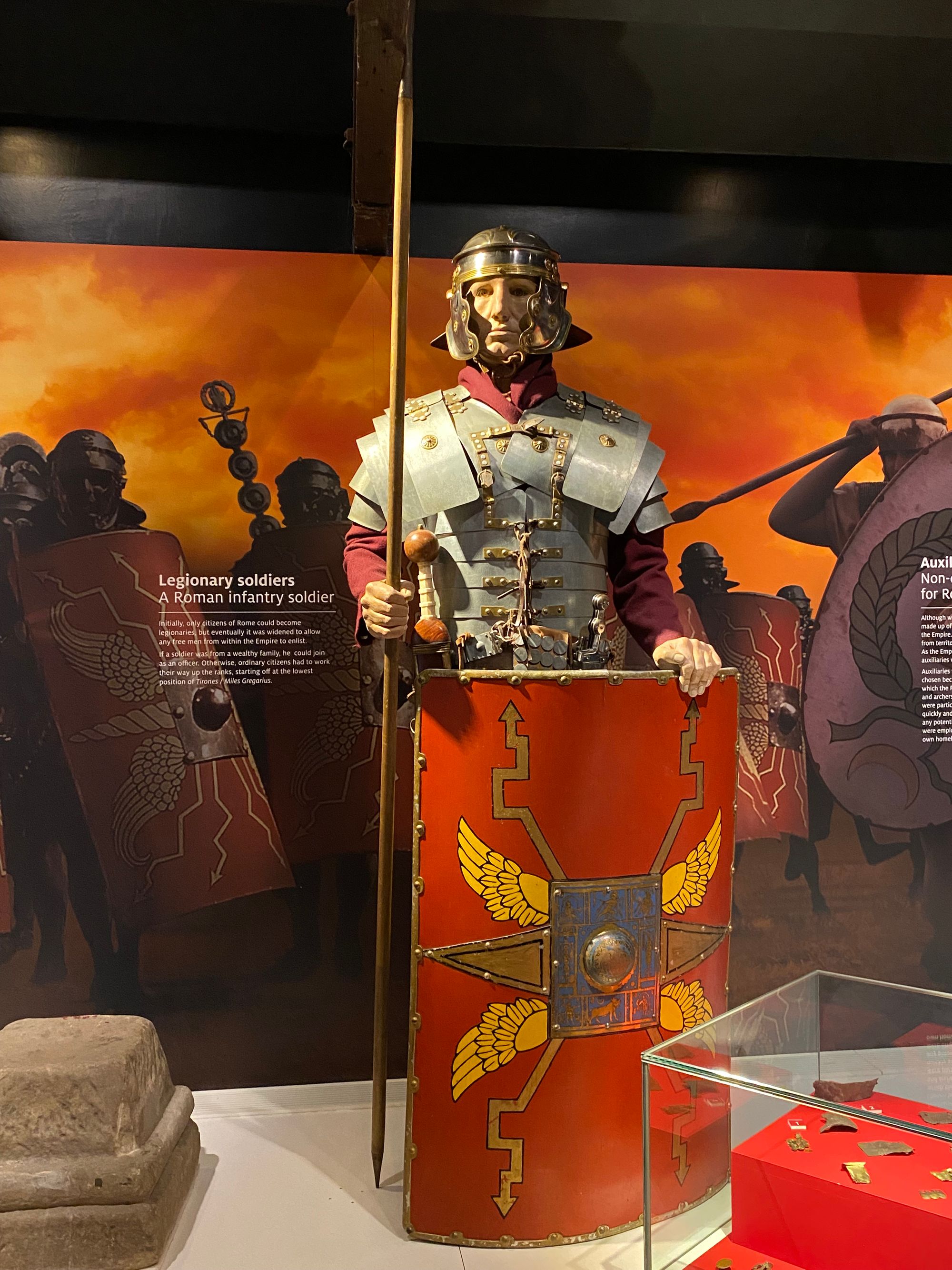
The topography and general atmosphere of The Crags is spectacular and on a day of dark clouds and strong winds somewhat ominous. I imagined Roman soldiers from as far away as Syria and Tunisia posted in this unforgiving and desolate province pacing the wall's remparts keeping a lookout for approaching "barbarians". You had to serve 25 years before you and your family could become Roman citizens. Most soldiers once deployed to Hadrian's Wall never returned to their homelands. They either settled in Britain or perished serving out their time.
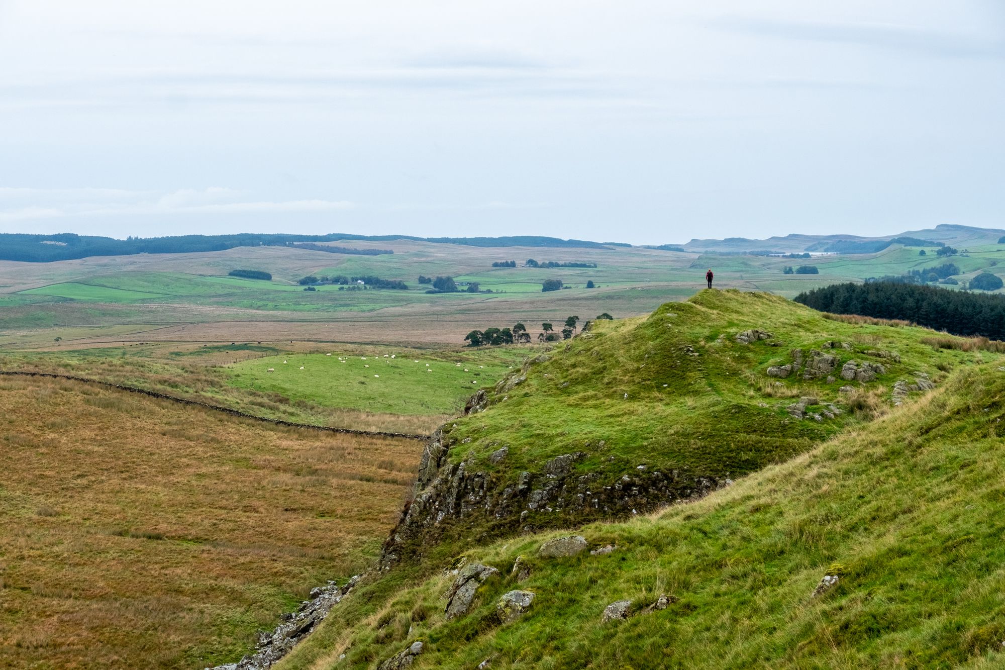
As we ascended and summited numerous steep and physically demanding crags we were awarded with dramatic vistas with long segments of the wall following the contours of these small mountains with cliffs facing north.
As we labored up and over the crags, the hours passed, the weather started to close in and walkers started to thin out.

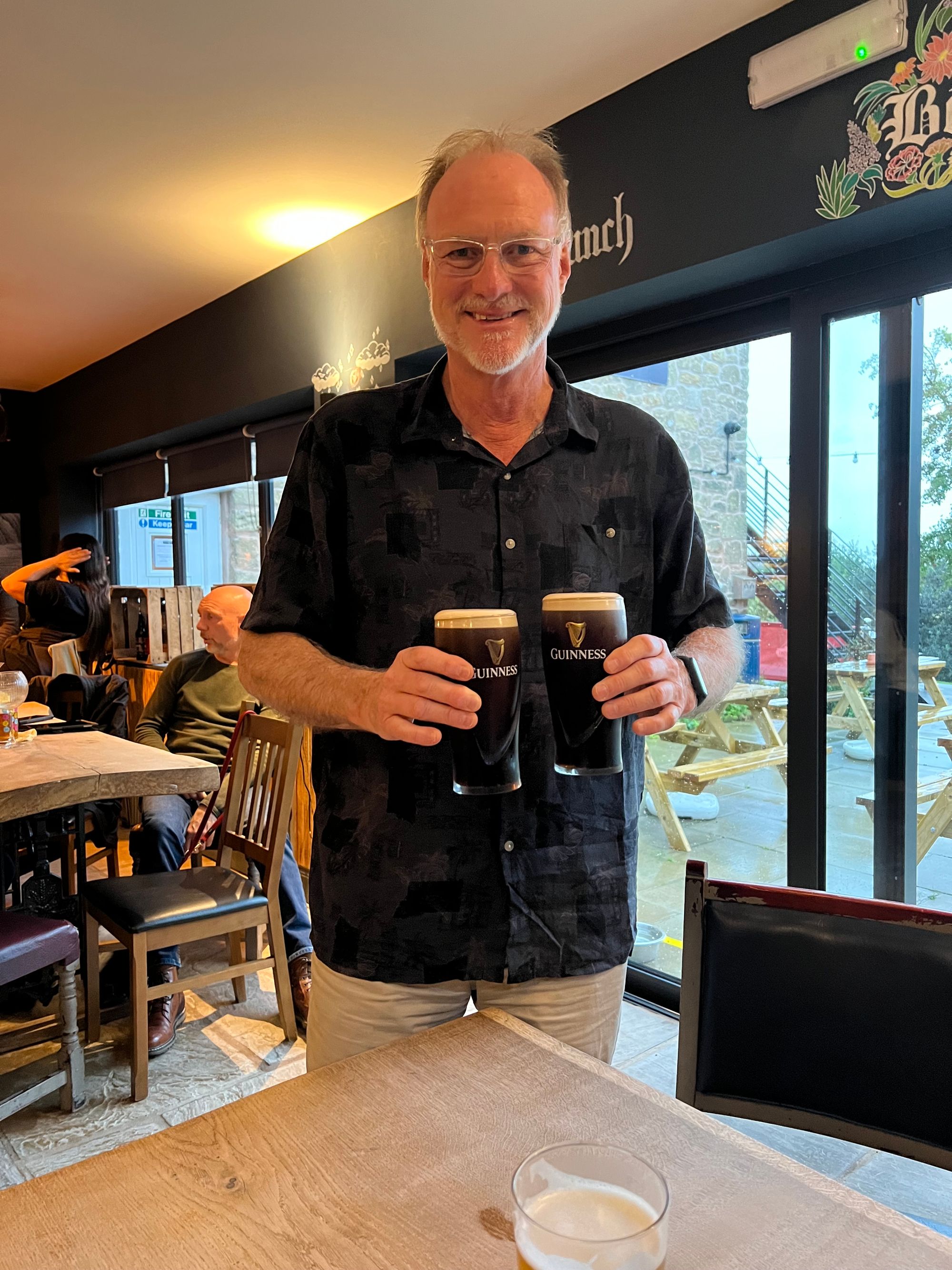
A little less than eight miles, but with lots of climbing and descending crags on wet grasses, muddy slopes and slippery rocks, made the going challenging and exhausting. The local ale and Guinness helped relaxed tired muscles, soothe sore feet and calm the senses. :)

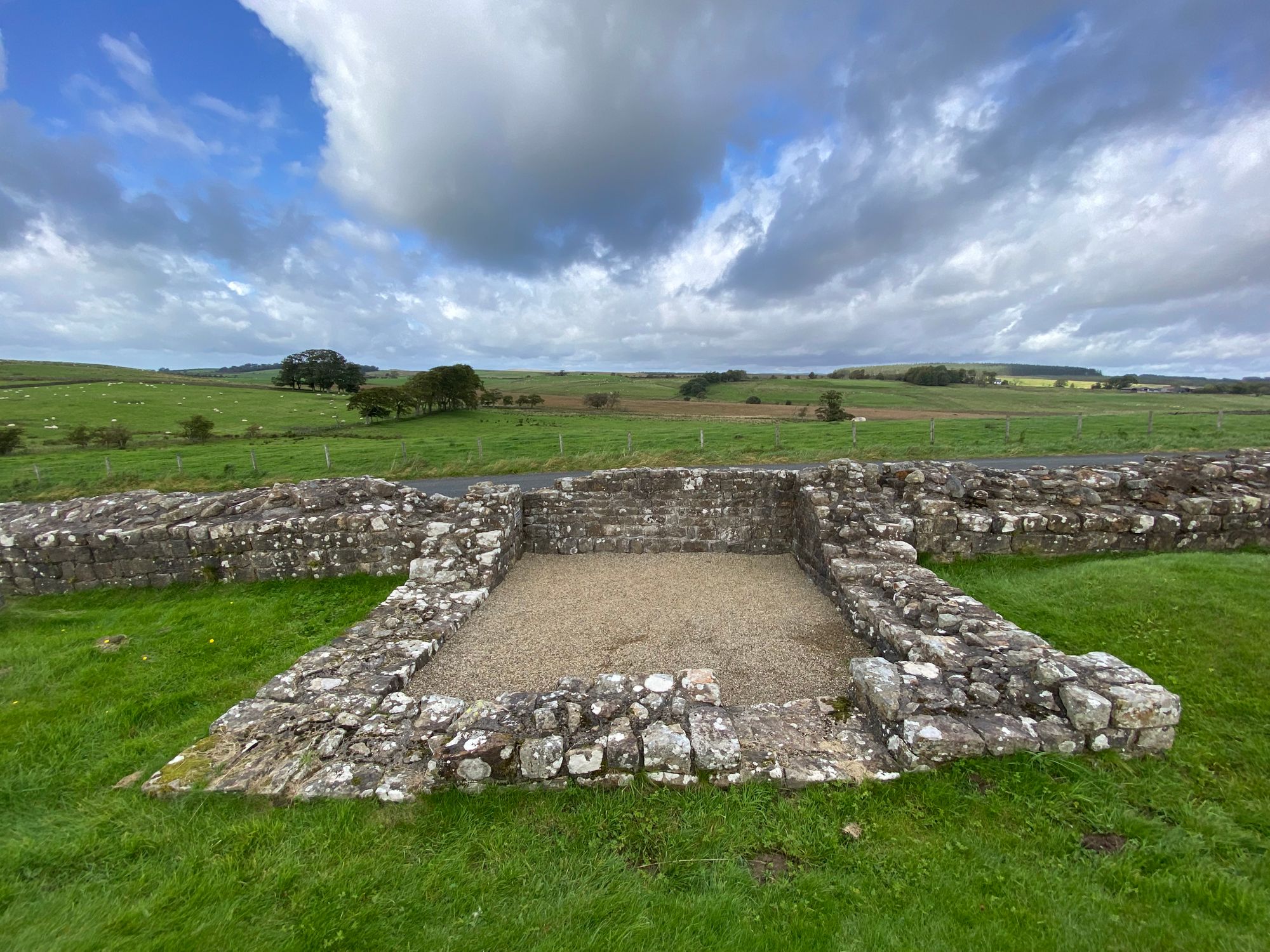
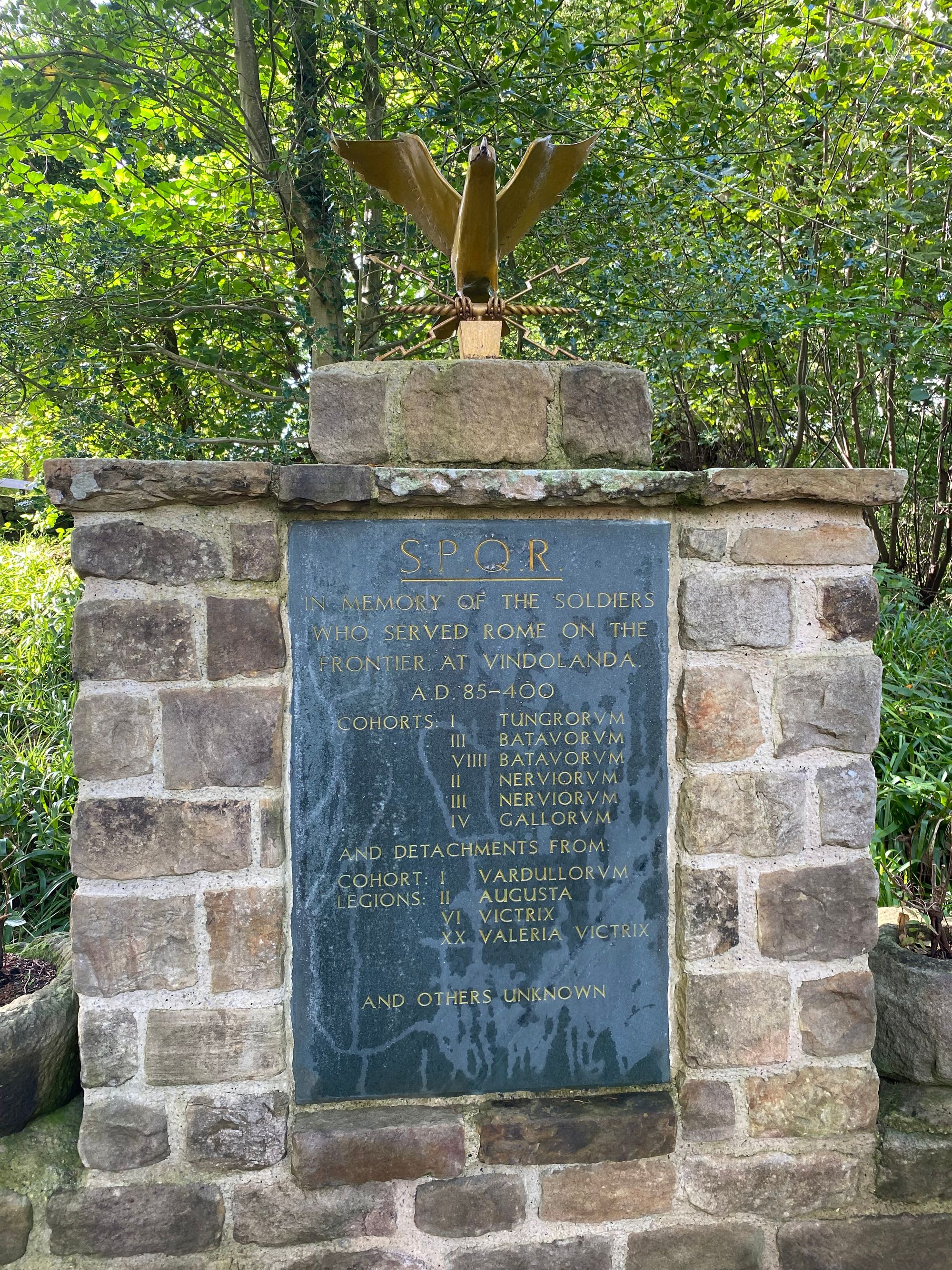
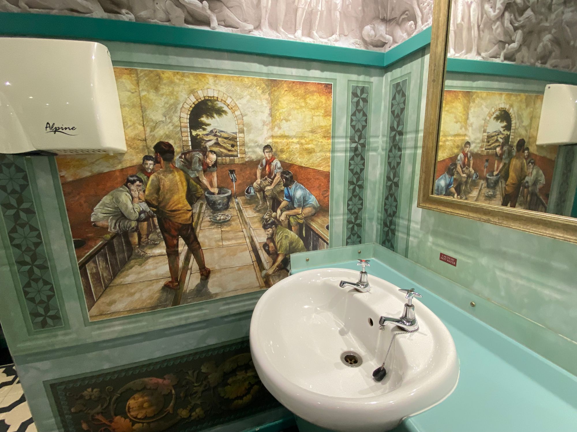
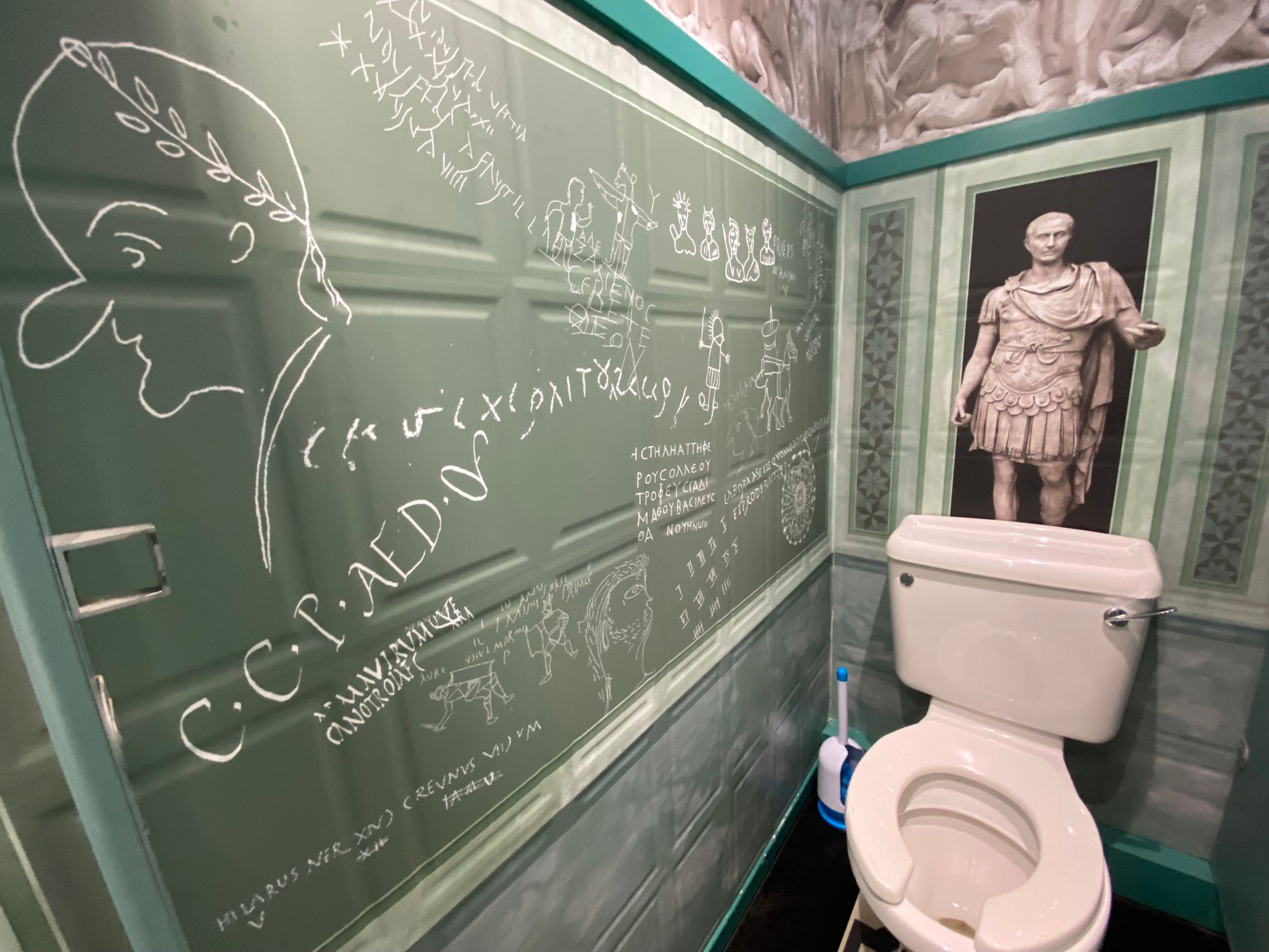
Down Day | 01 October 2023 | Vindolanda and the Roman Army Museum
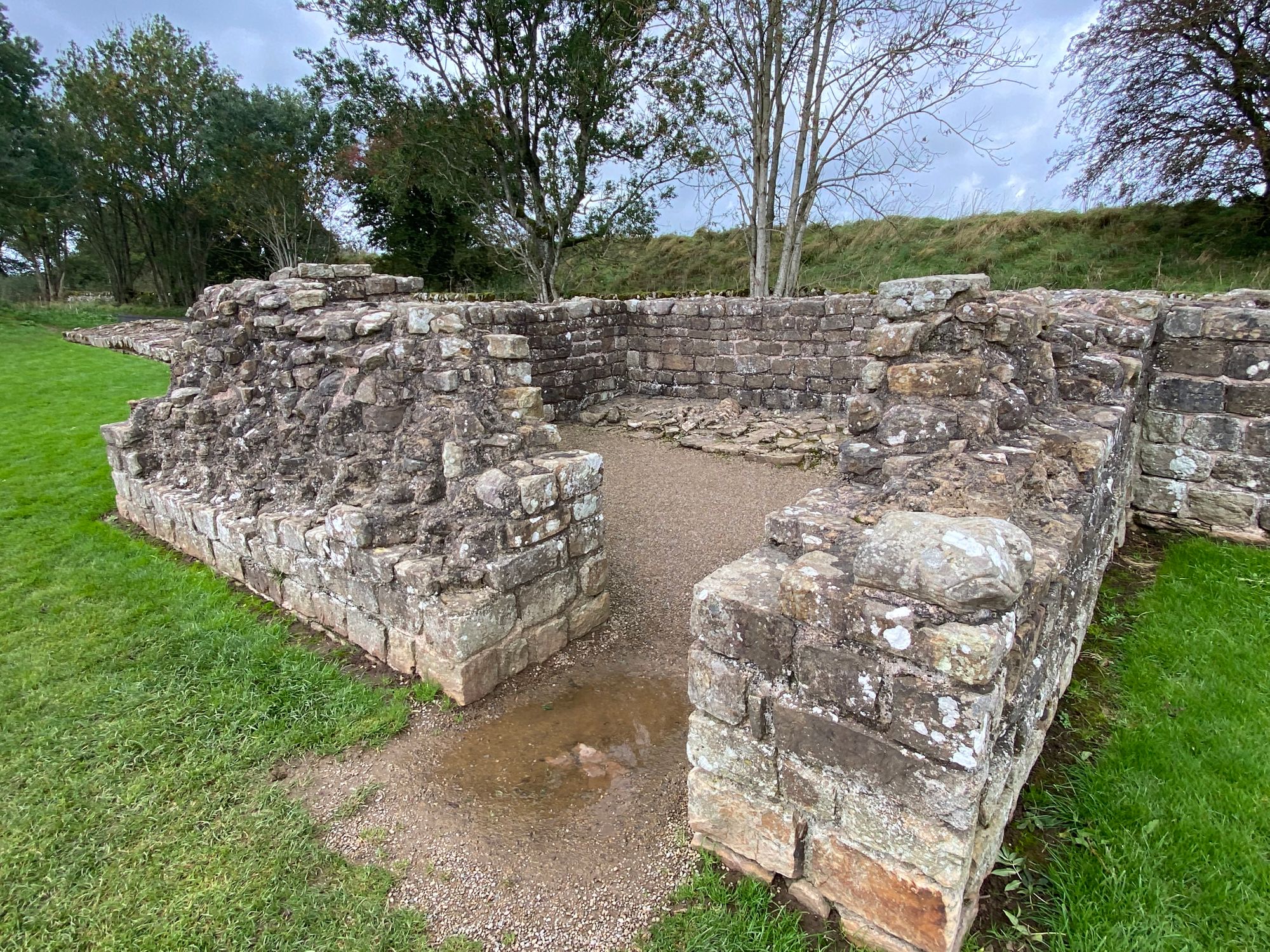
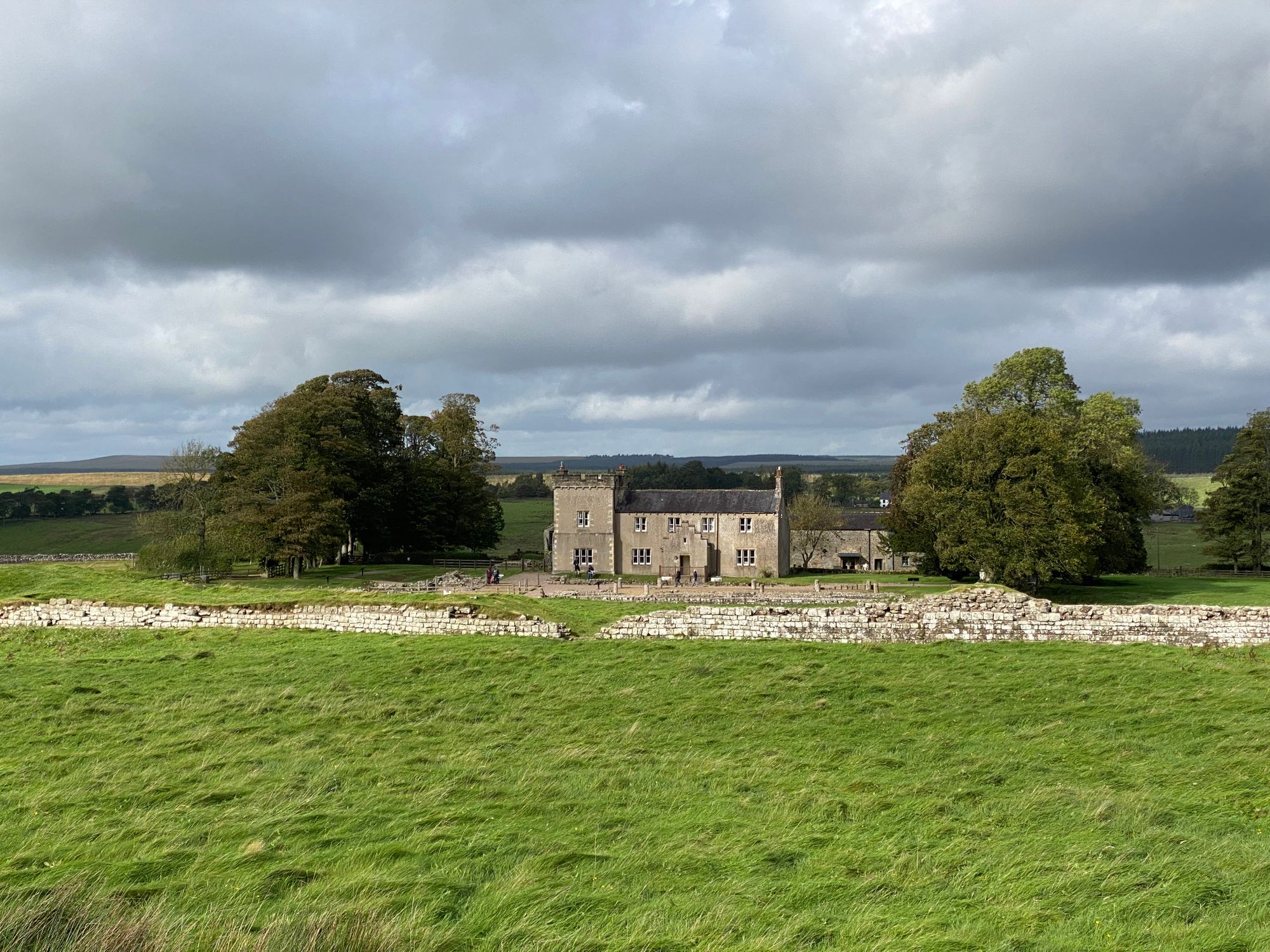
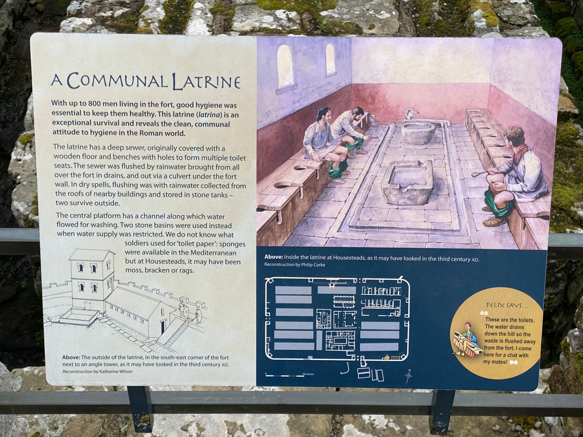
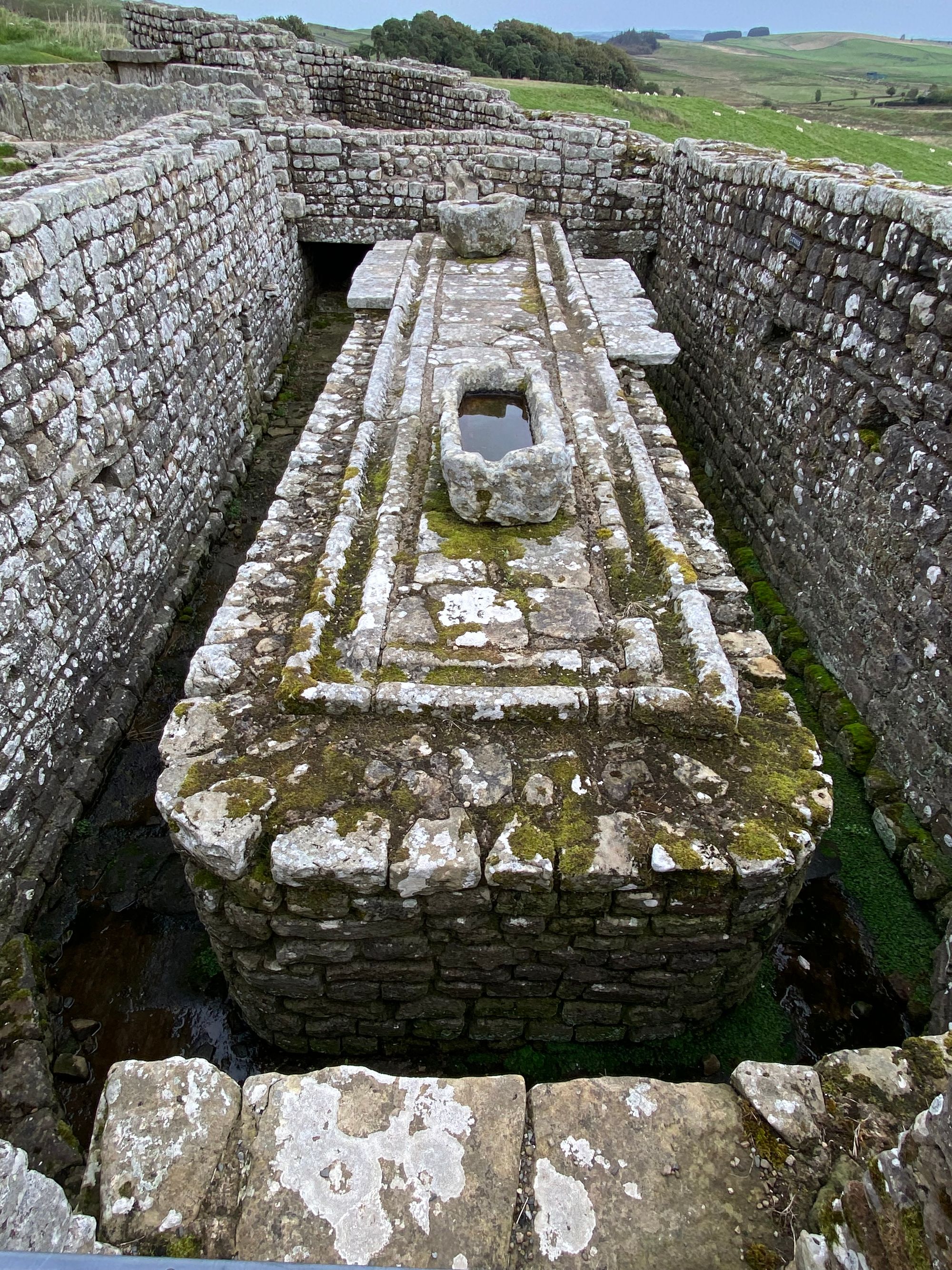
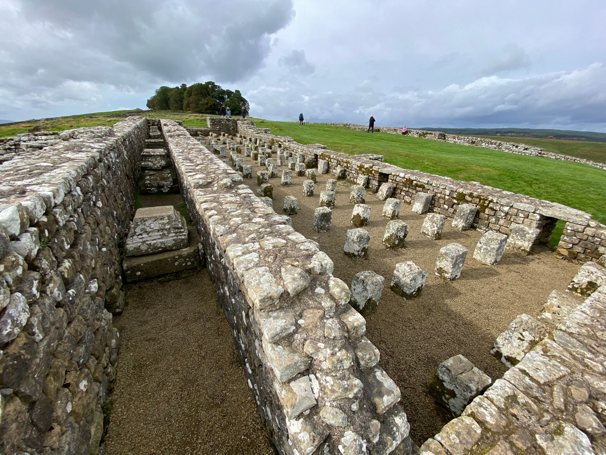
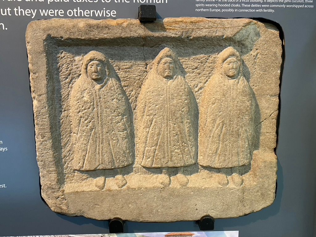
After four days of walking 50 miles it was nice to have a down day to recuperate. We all went to Vindolanda Fort and museum where the some of the Vindolanda tablets are displayed.
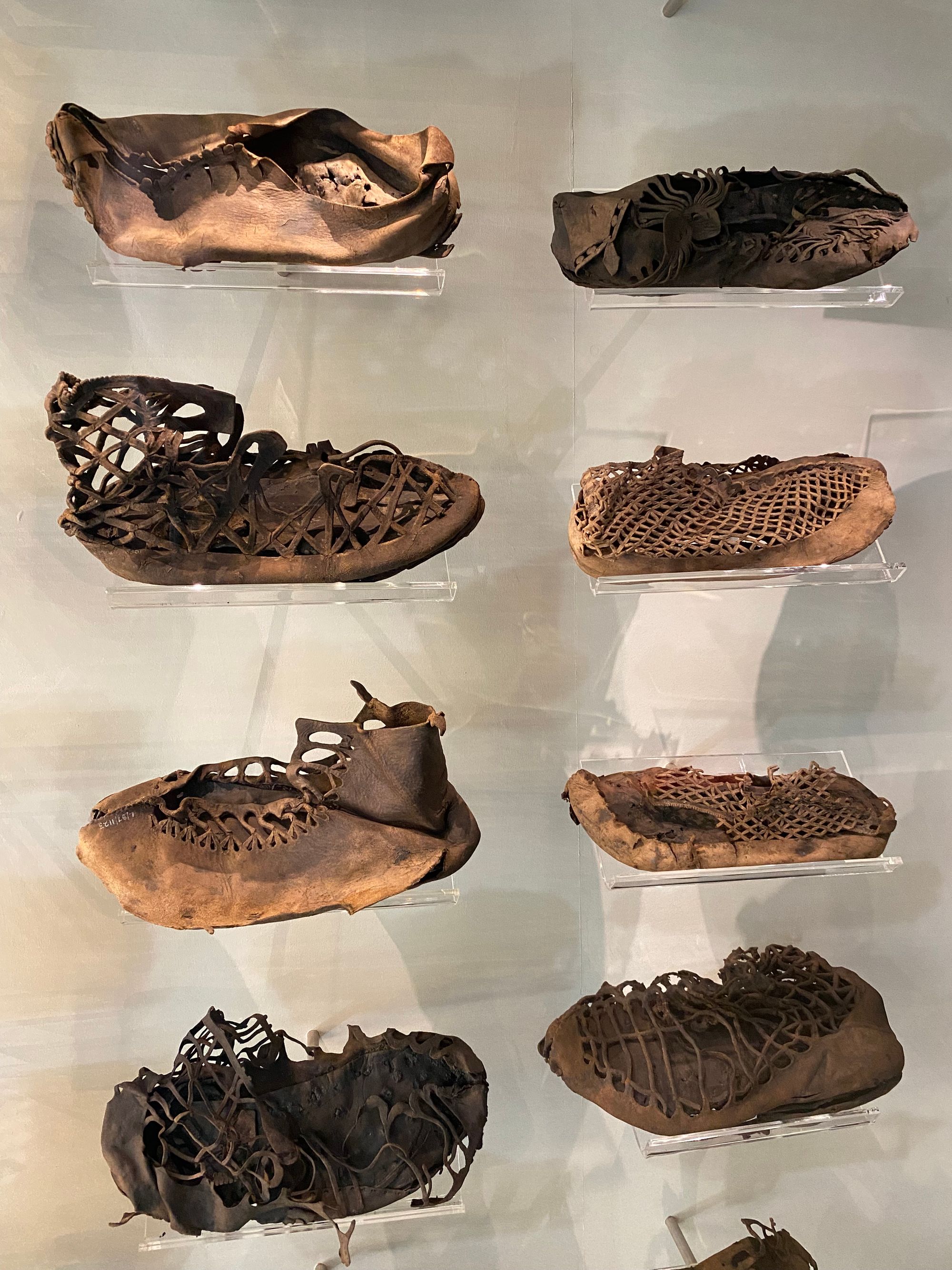
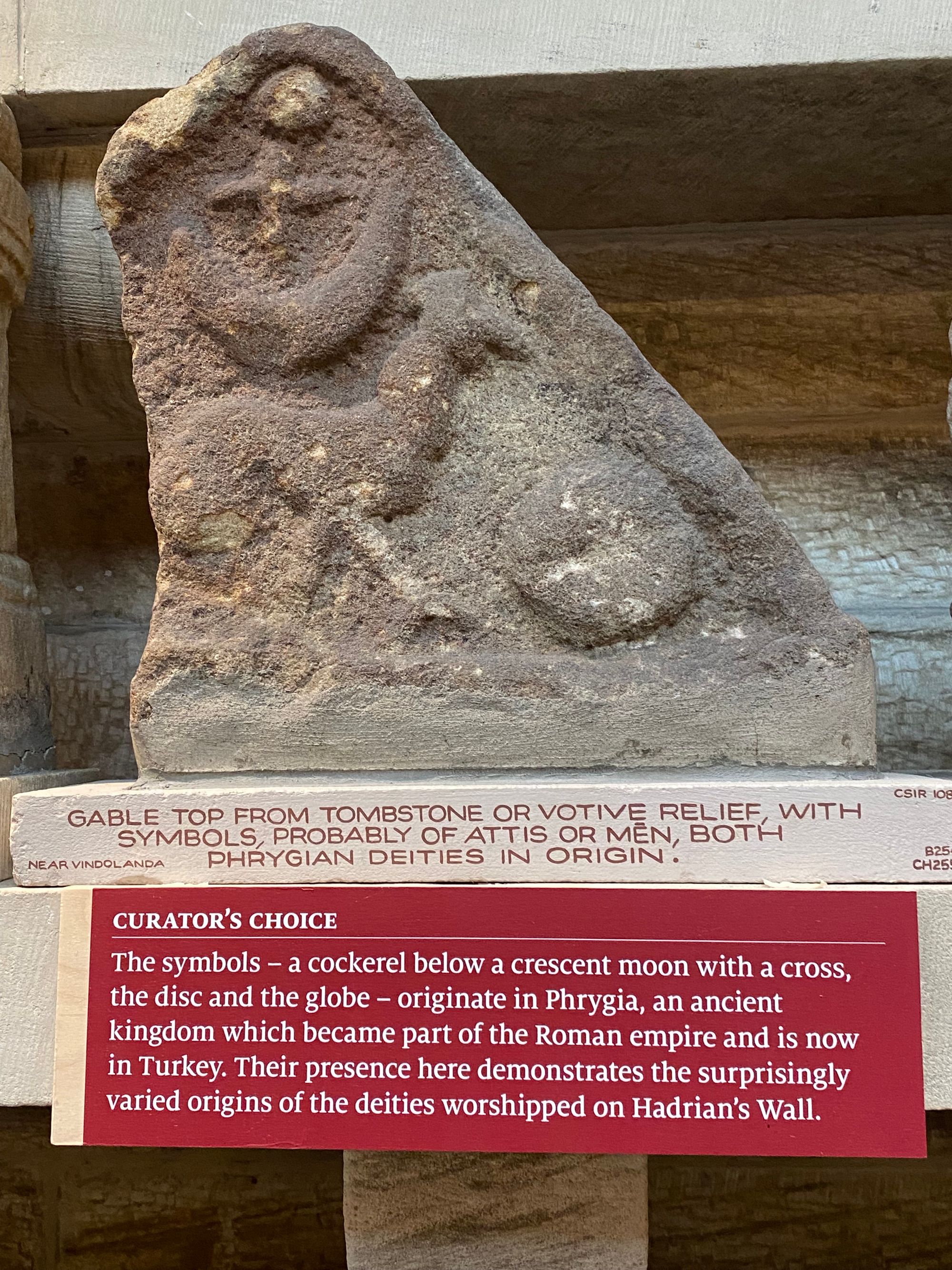
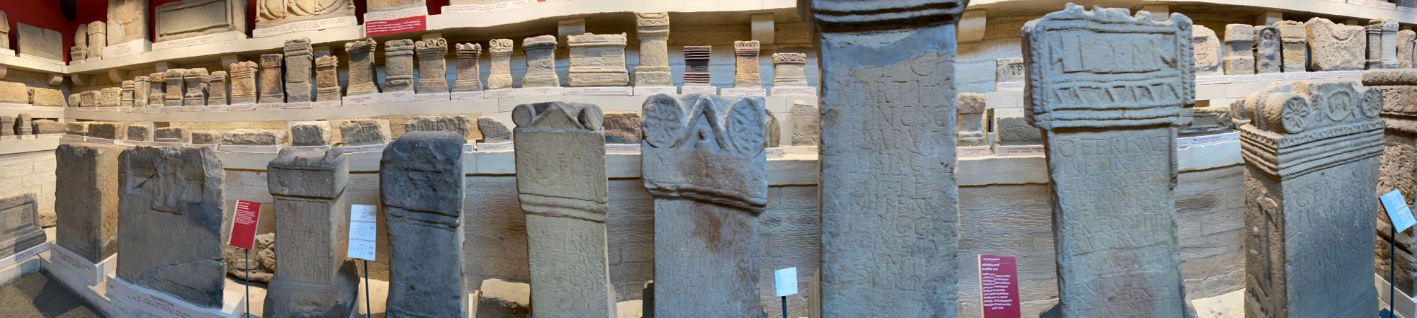
Vindolanda is about two miles from the wall and went through seven building phases. Each time a new and usually expanded wooded fort was built until the last stone fort was in place, the existing structure was torn down and the foundation leveled. The Vindolanda tablets are small postcard-size wooden writing tablets that Romans recorded their activities both personal, in forms of letters, and official, in term of accounting, disposition of the military units and other administration needs.
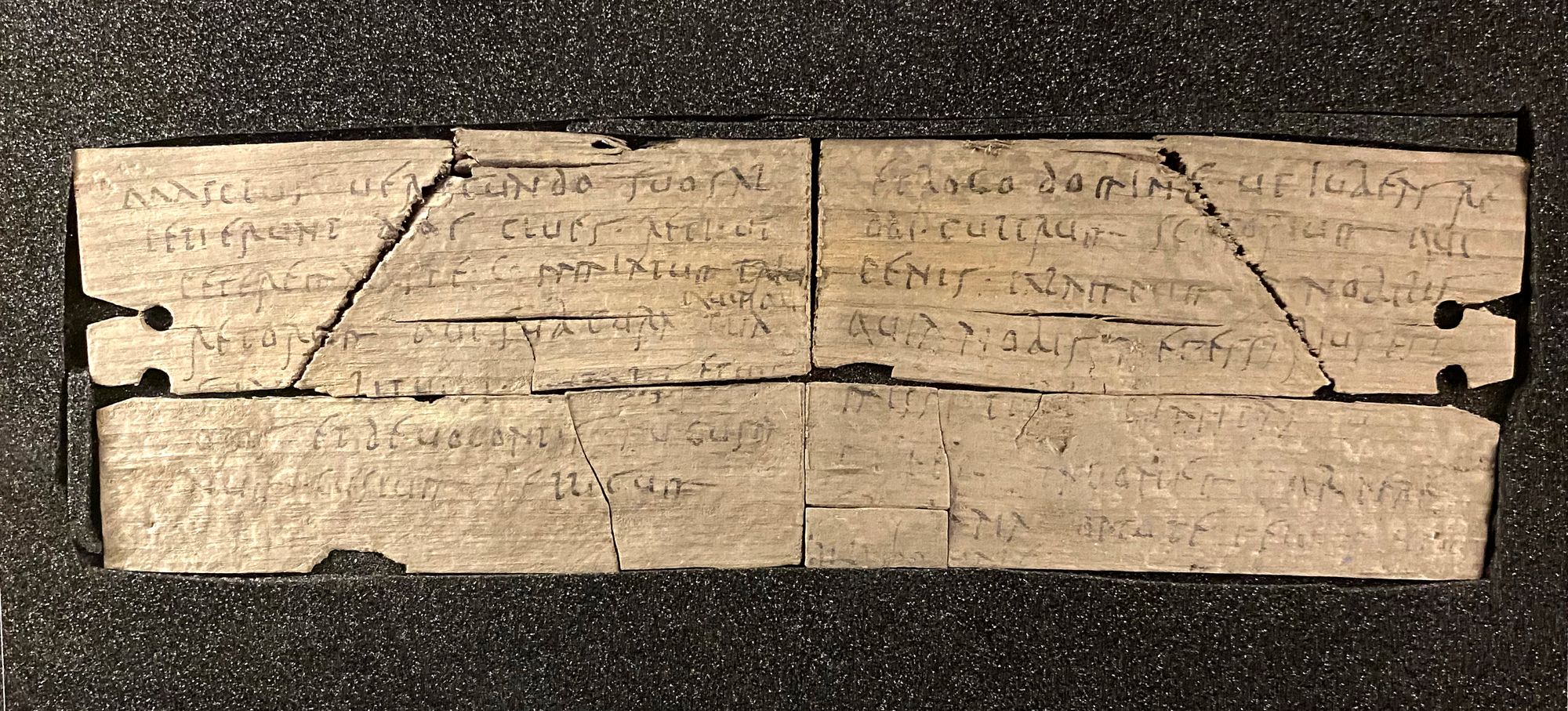
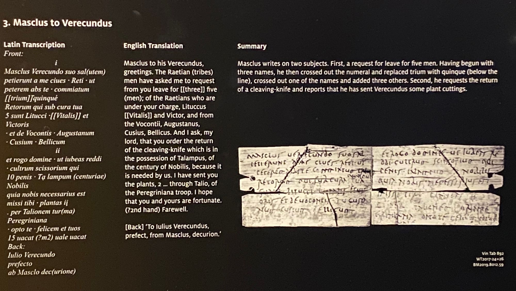
The tablets are remarkable not only for their age (1st and 2nd century AD), but they are the only existing ink writing from the Roman era. Also, they shed light on the Roman life, some of it mundane such as a birthday invitation from one centurion wife to another.
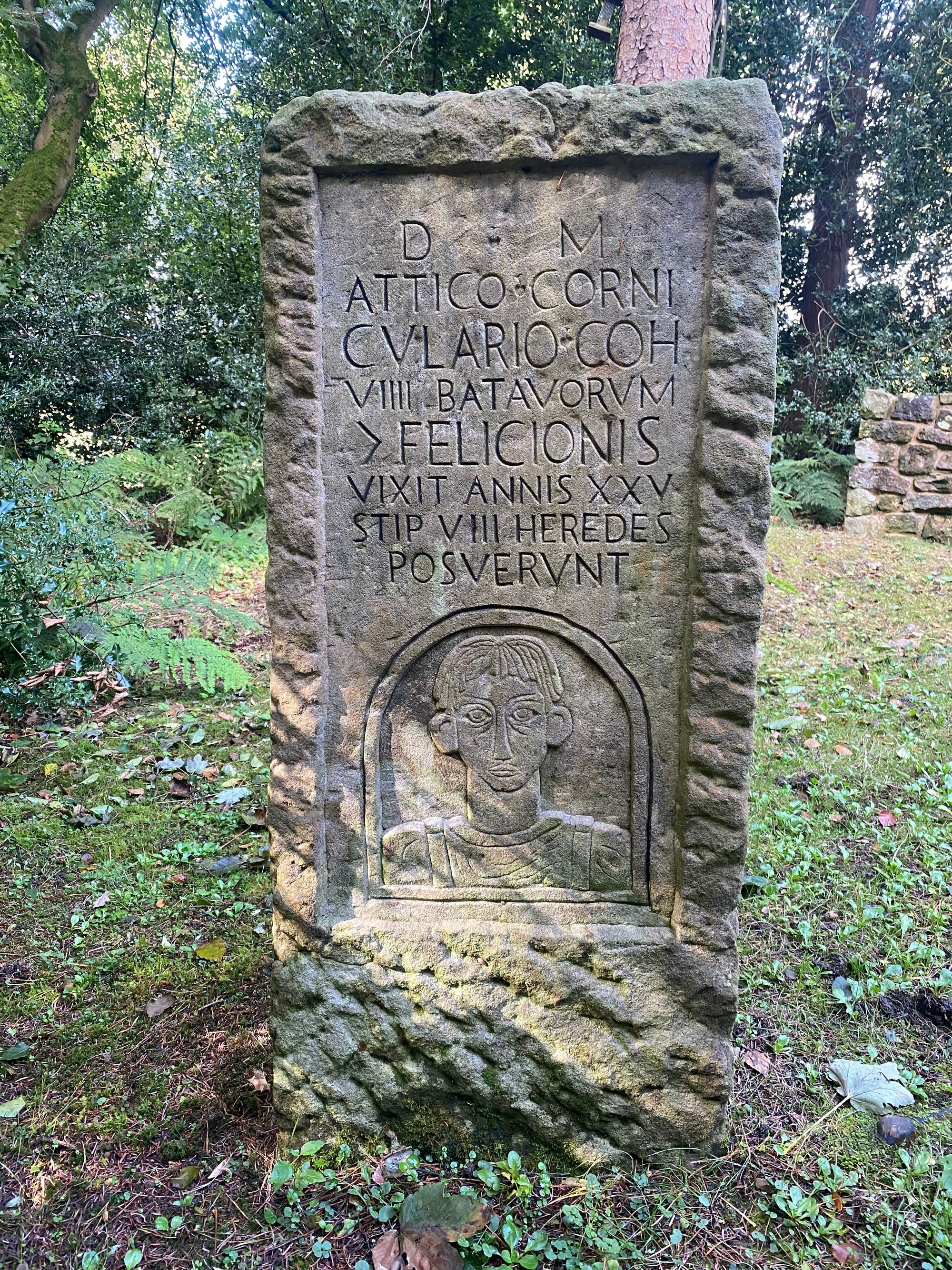
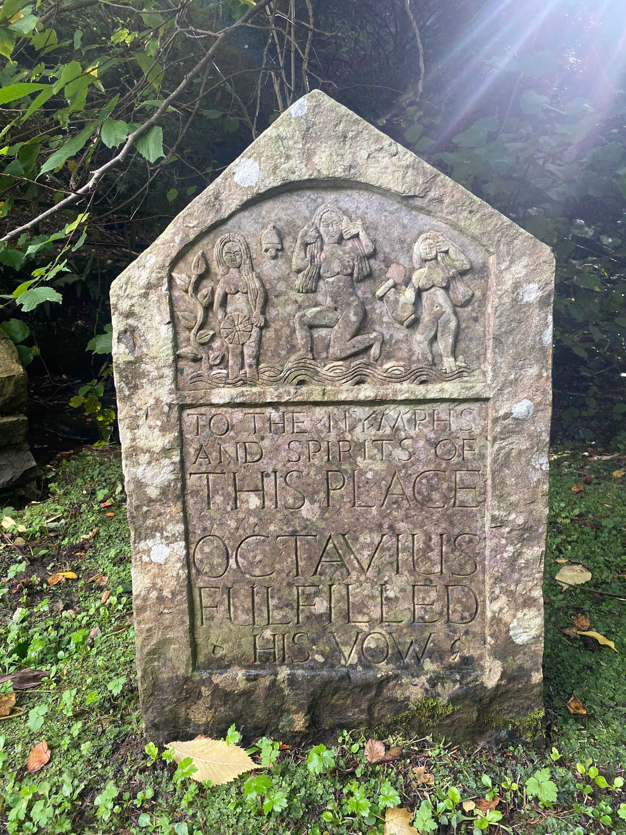
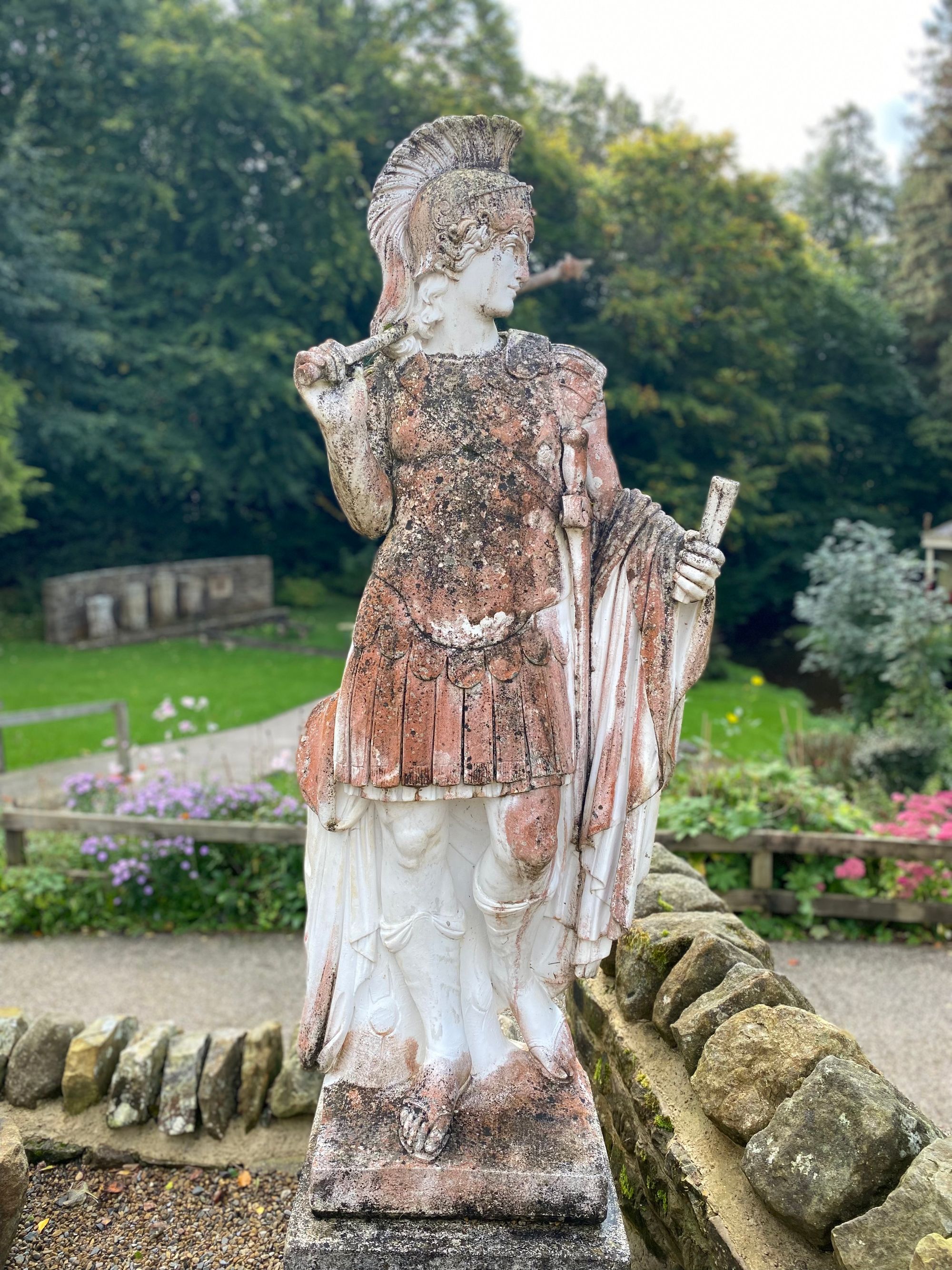
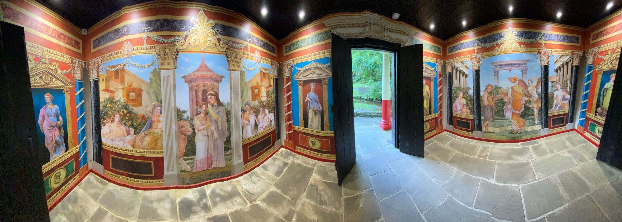
After wandering around the museum, fort and gardens, I decided to head on my own to the Roman Army Museum which is located near the former Carvoran Magna Fort. We had passed it on the third day but had not stopped to check it out.
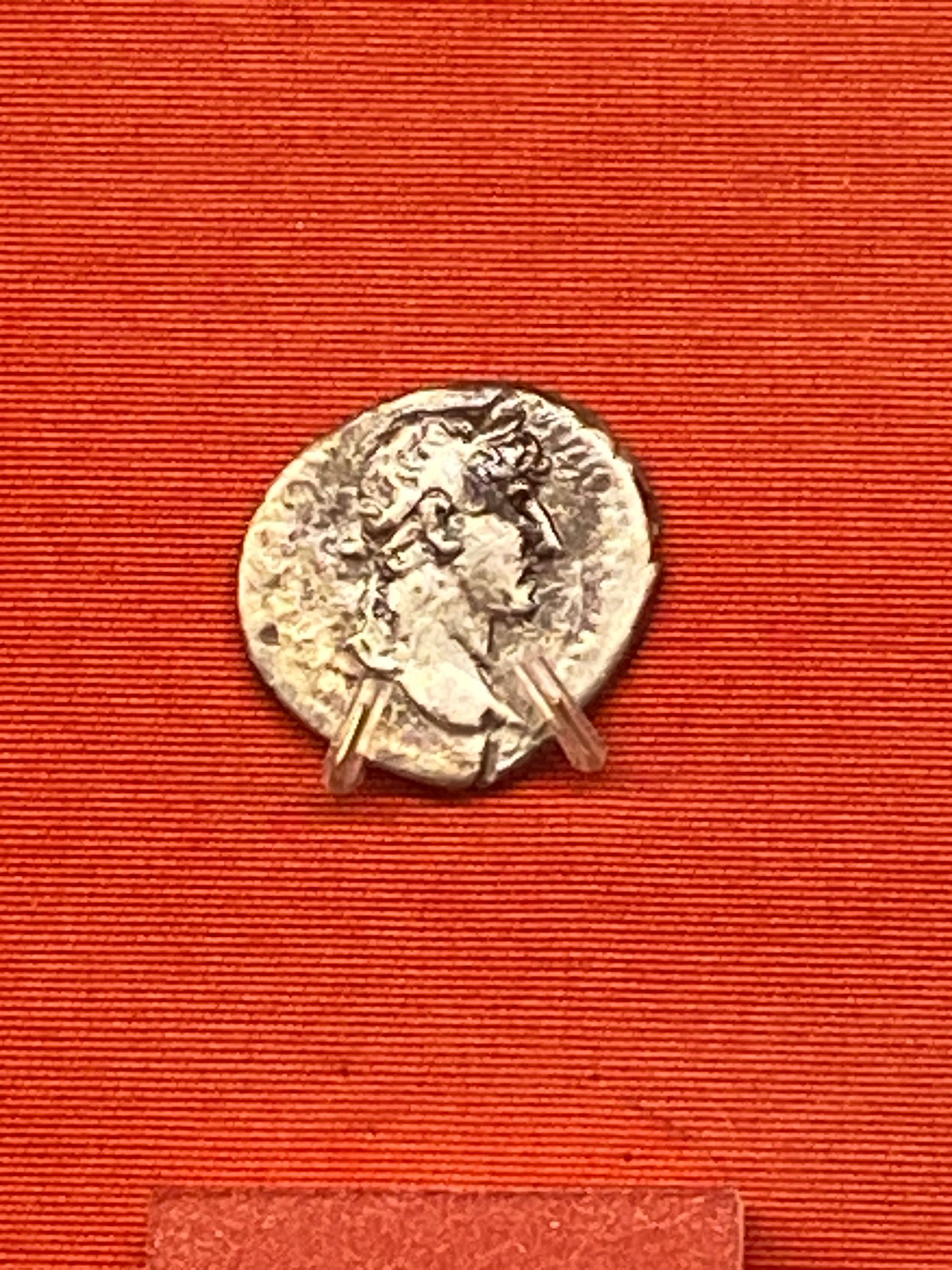
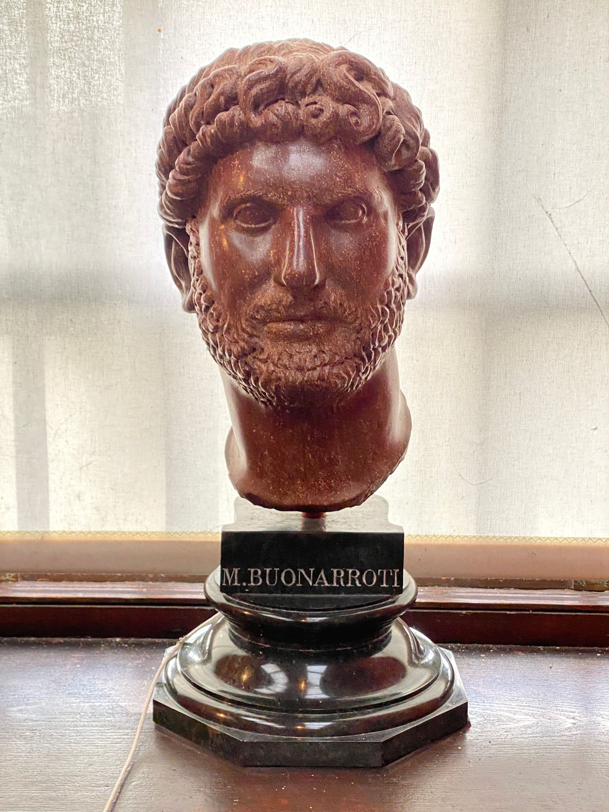
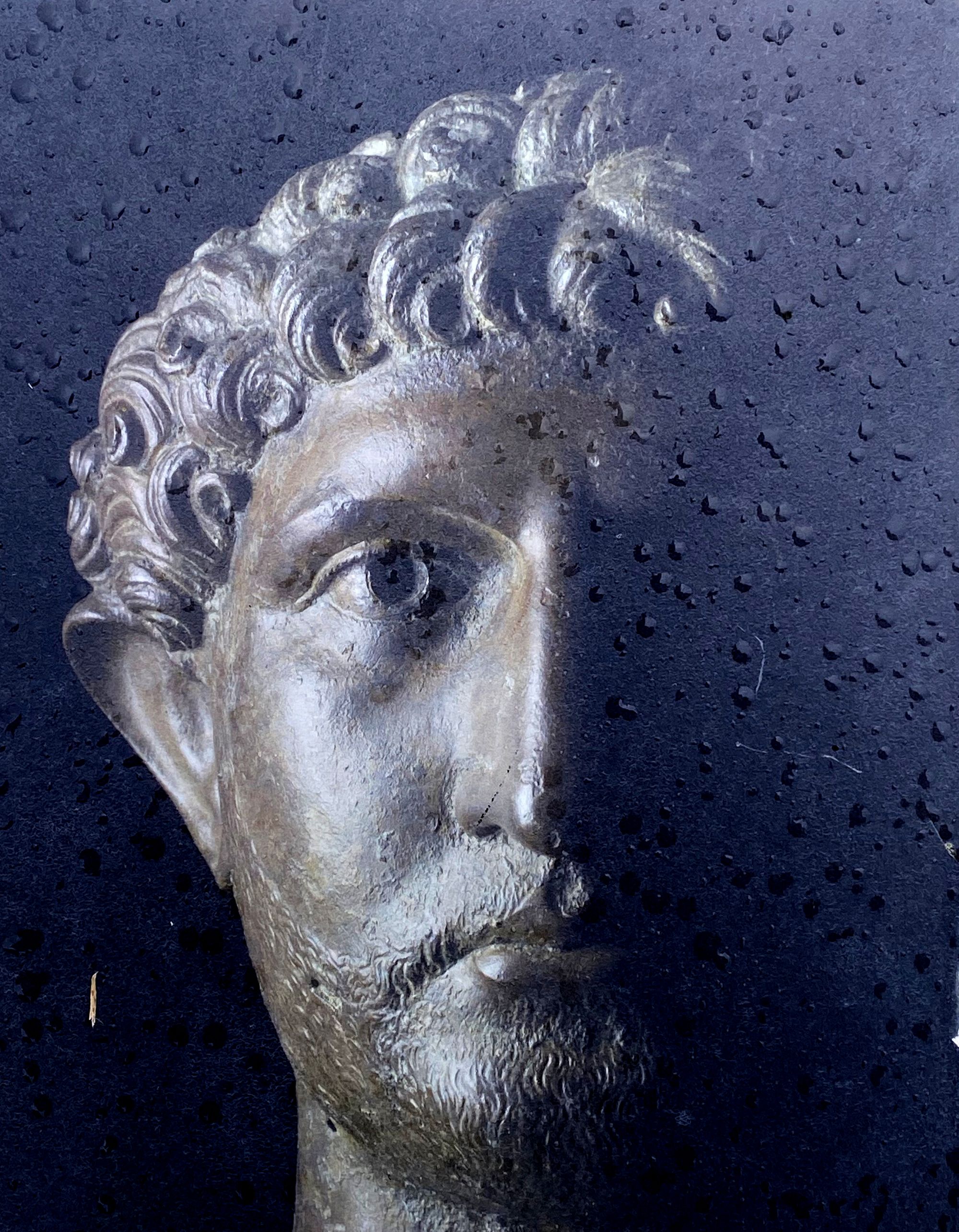
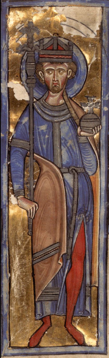
The Roman Army Museum turned out to be quite informative and entertaining with movie depictions of soldiers lives, recruitment and the life of Emperor Hadrian. He ruled for 21 years and traveled to every corner of the Empire. He built many monuments, archways, temples and his villa outside of Rome.
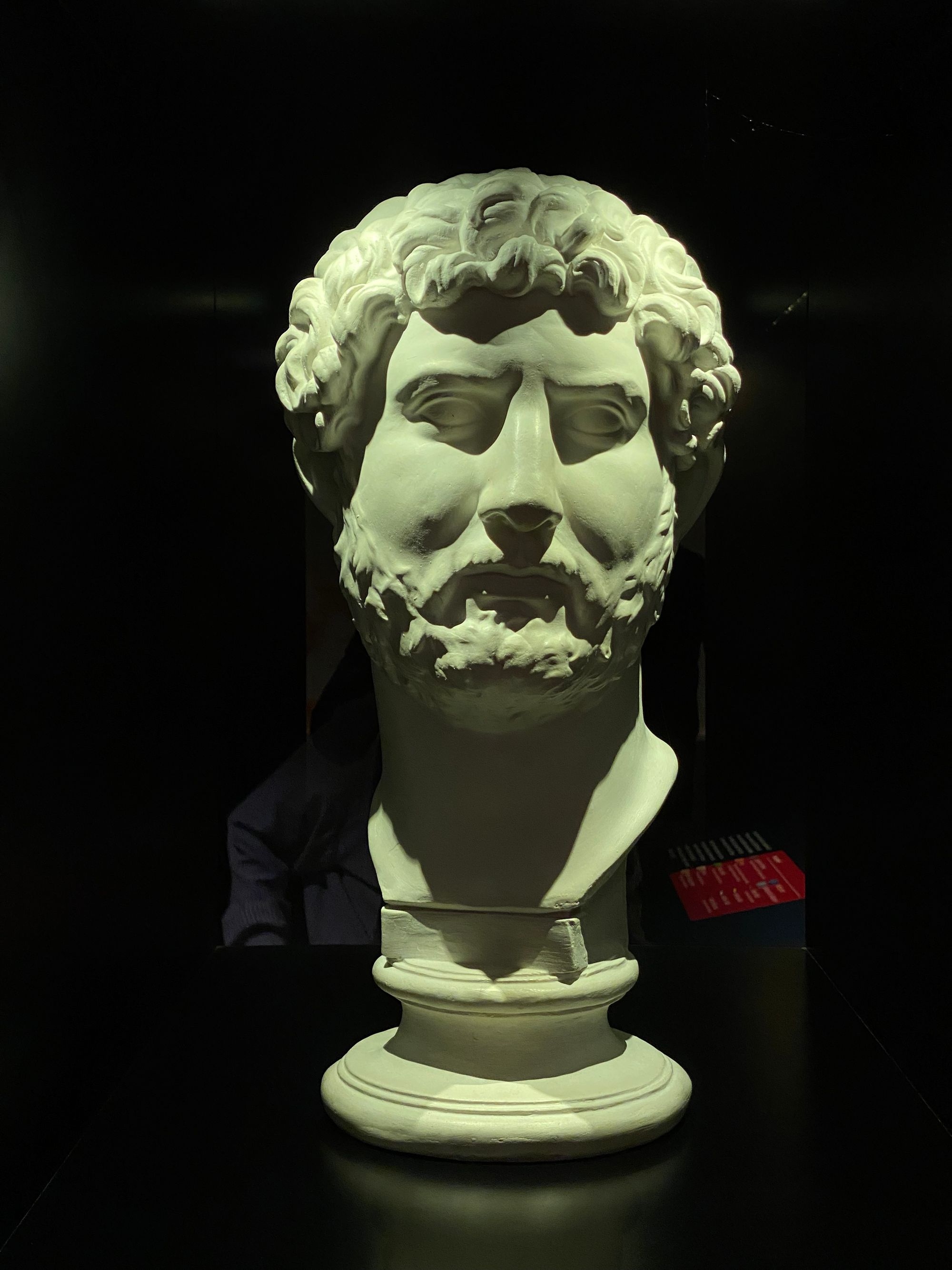
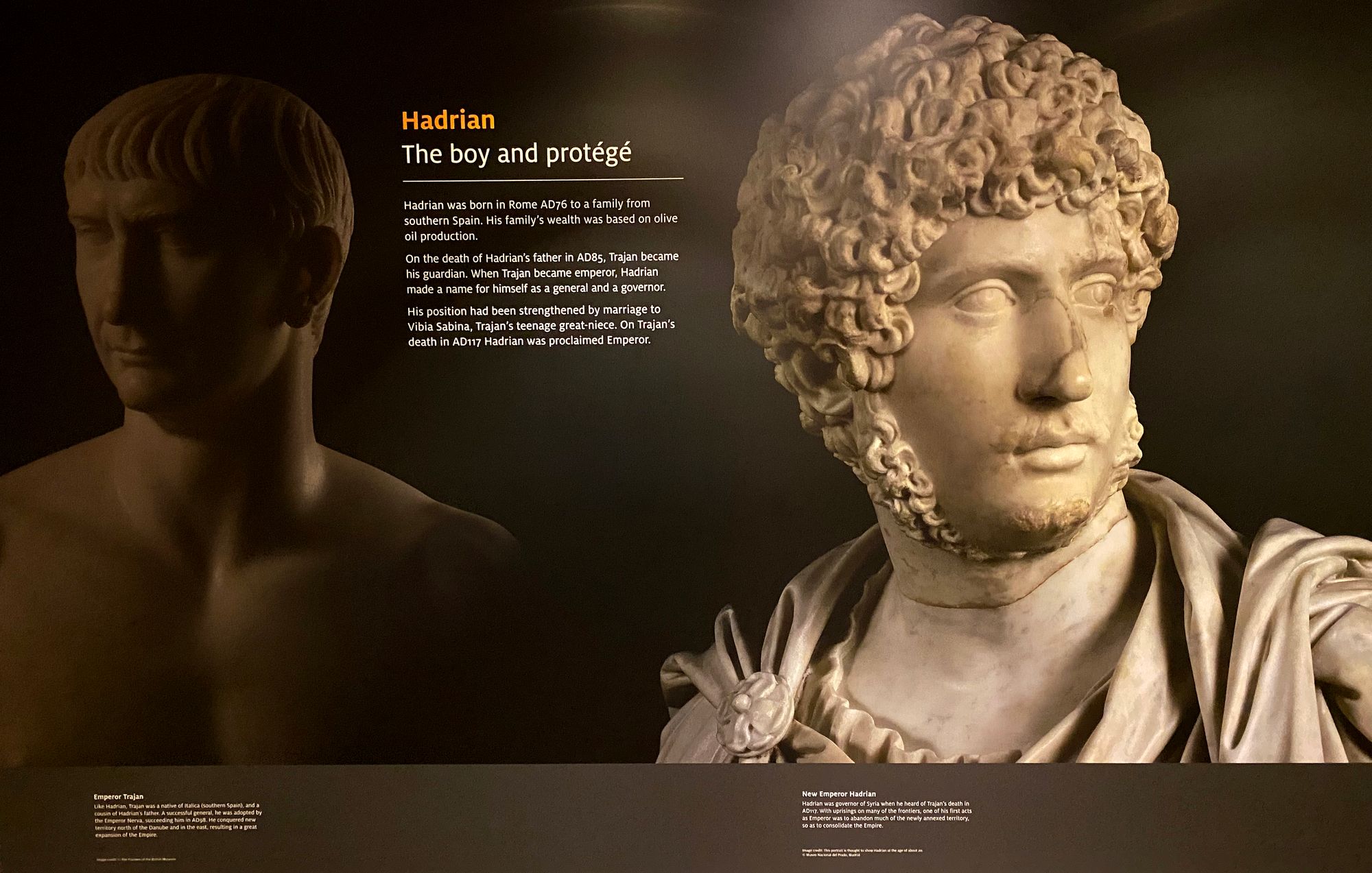
Hadrian was born in Italica, Spain (near present day Seville) in 76 AD and died in 138 AD at his villa in Tivoli, Italy. He had two adopted children. His reign was marked by consolidating power, putting down uprisings, eliminating rivals and securing the borders of the Roman Empire. He was married to a relative of his predecessor Emperor Trajan, and had a lover, Antinous, who drowned in the Nile River in Egypt. Hadrian's adopted second son, Antoninus Pius, became Emperor upon Hadrian's death at 62 from suspected coronary heart disease.

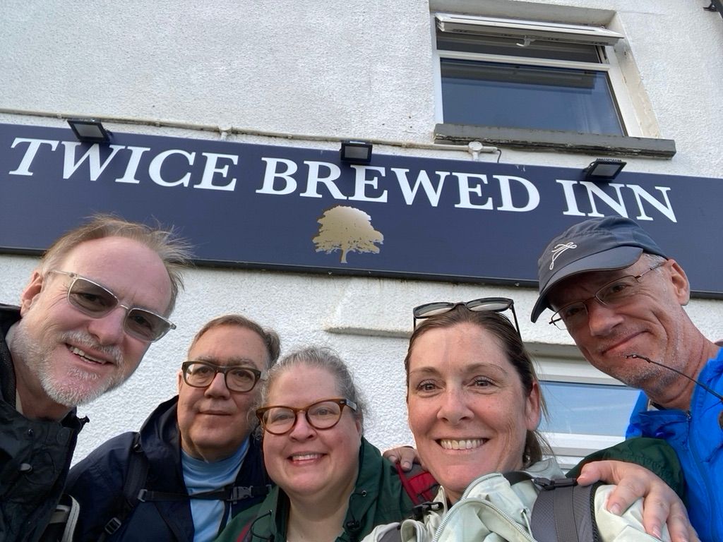
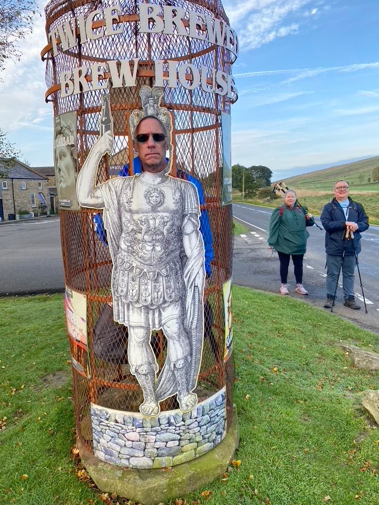
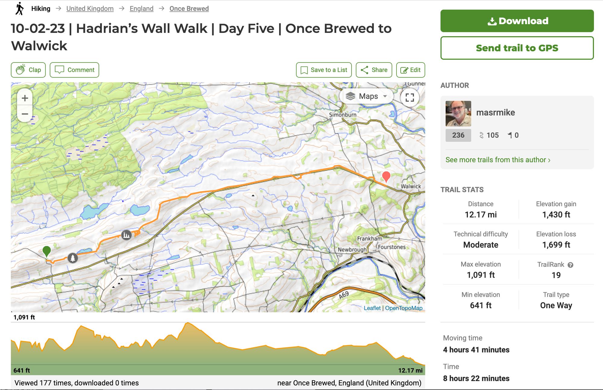
Day Five | 02 October 2023 | Once Brewed to Walwick
Today we headed out with the full crew at 8:30am after a wonderful two night stay at the Twice Brewed Inn. In an hour, or so, we would come upon Sycamore Gap where the famous tree had been cut down four days earlier.
Once again, cool and overcast ... ideal walking conditions.
Rebecca was feeling under the weather, but was determined to attempt the walk. However, after hiking a half mile to get to the trail and then negotiating a steep decline, the effects of what we would learn later was a bout of COVID, she decided to return back and meet us at Housesteads Fort.
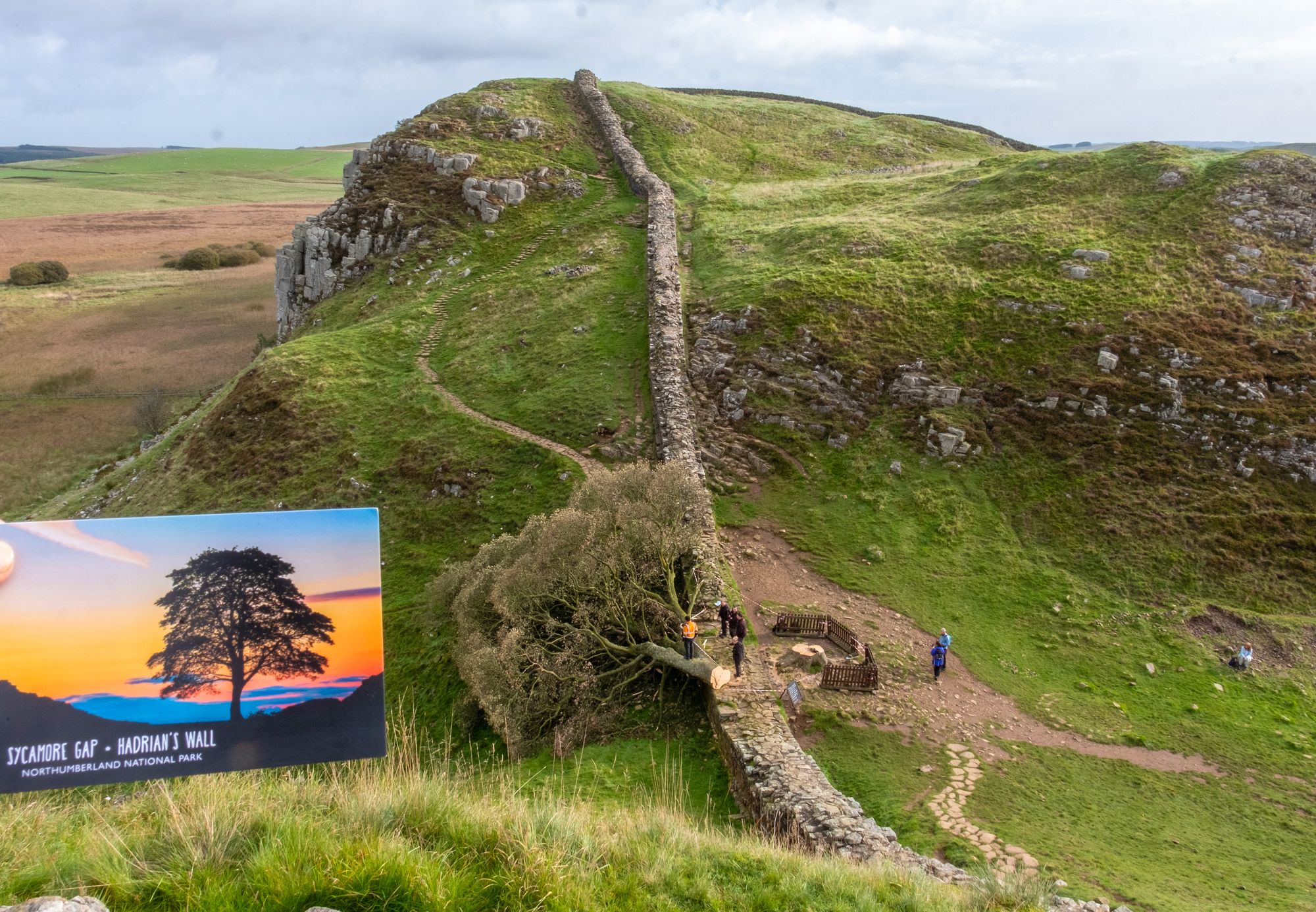
The day before we had been shuttled around by Steven from Hunters Taxi service and he had filled us in on what he had learned from the tree cutting drama. In the middle of a rainy and windy night, a 60-something year old former lumberjack and resident on National Trust property had, with what was believed at the time to be a 16-year old accomplice, cut down the tree. He had been a long-time resident on National Trust property and had been told that he would have to leave. He threatened to cut down the iconic 2016 Tree of the Year if he was evicted. Steven knew the name of the person and while riding with him, a woman journalist called requiring his services. Authorities still have not released the name, but charges against him and the 16-year old have been dropped and two other people have been apprehended.
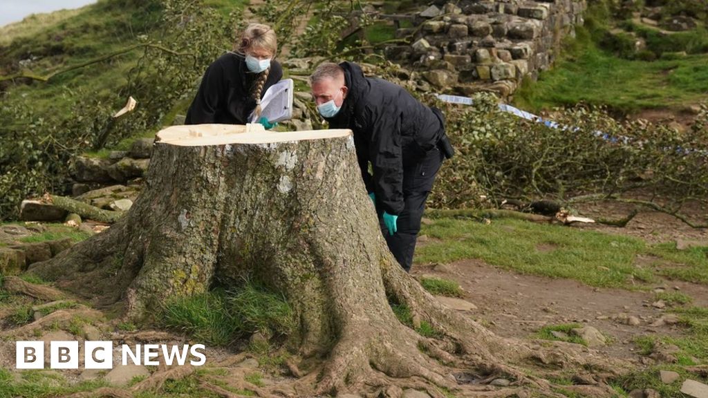
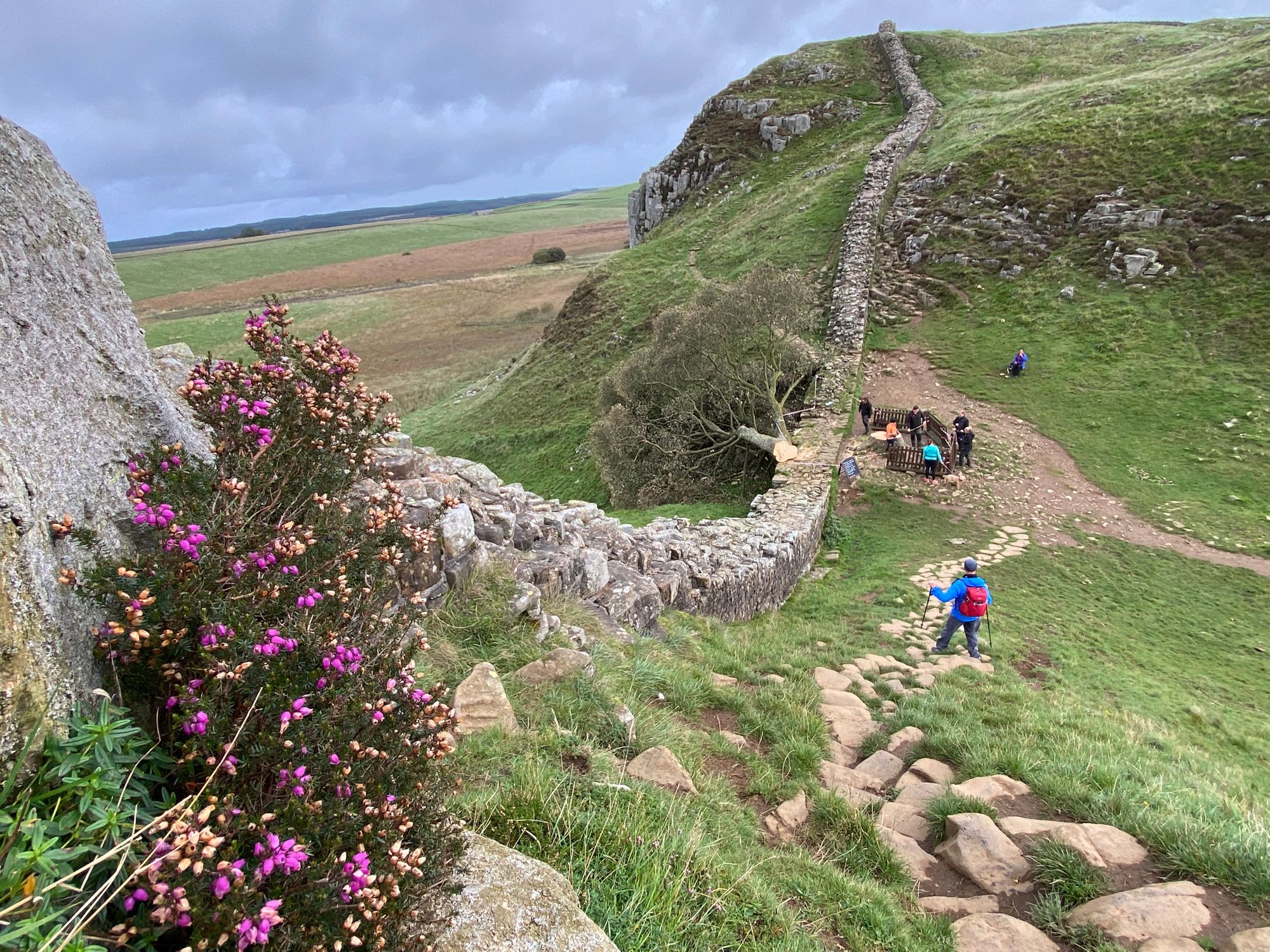
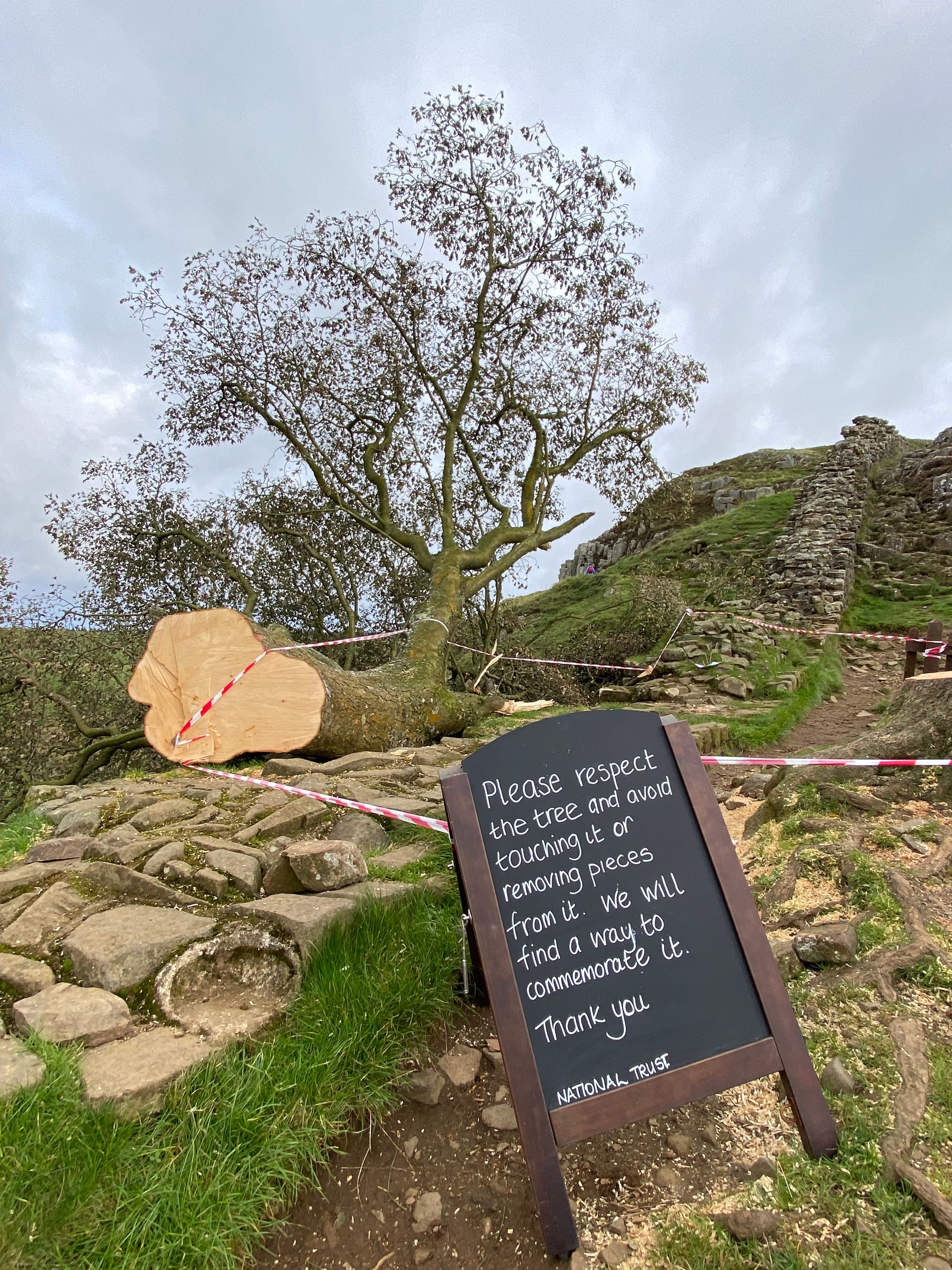
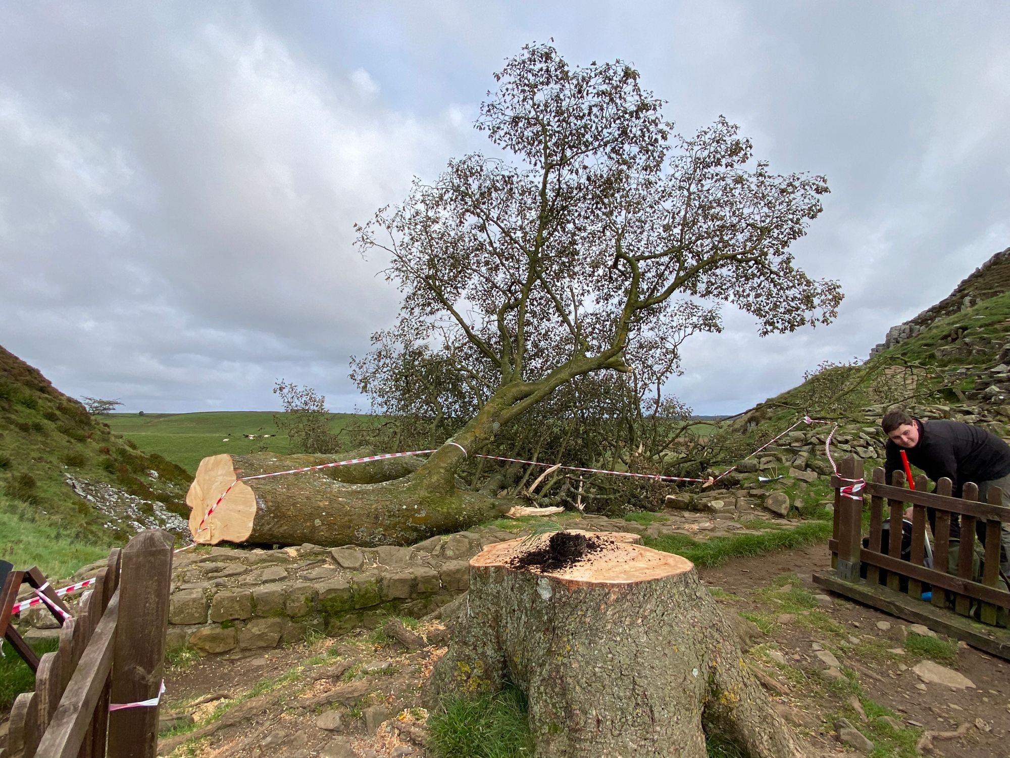
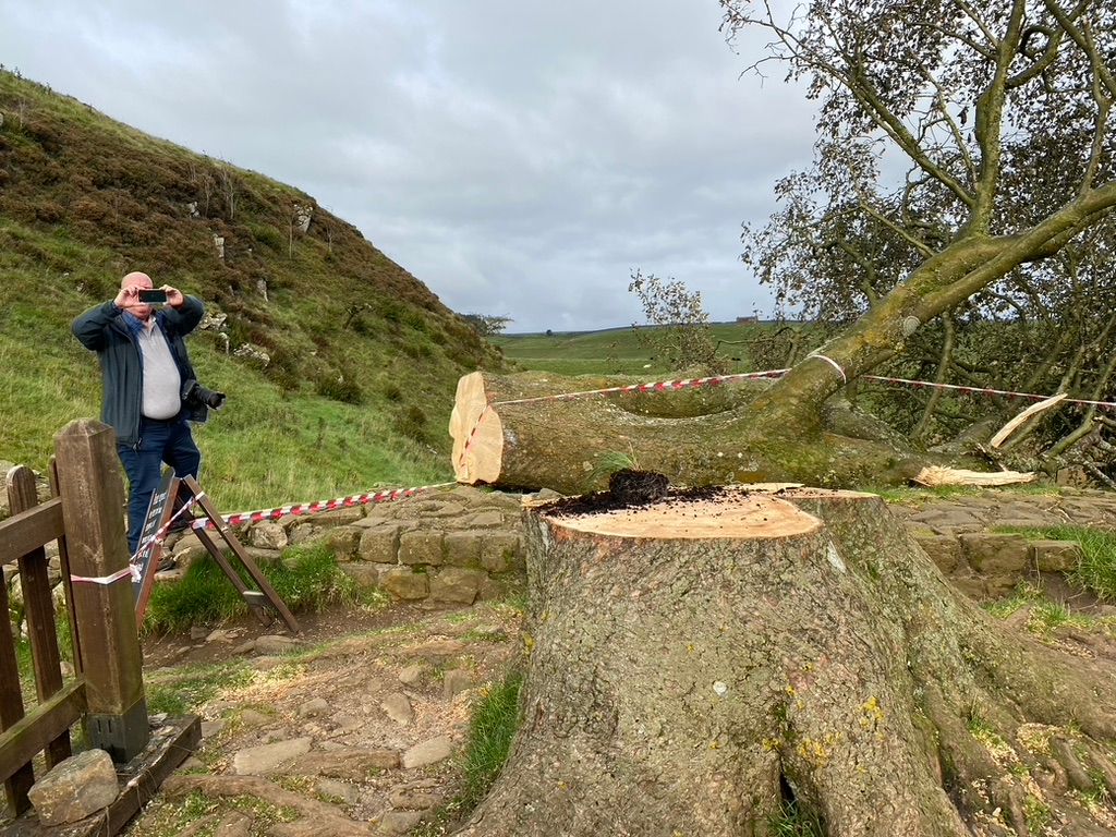
It was sad to see the fallen tree and, though only a 250-year old tree, it felt very tragic to me. Photographically, the scene was hard to depict. The felled tree, so majestic in the photos I had seen when standing, now looked small and melancholy with faded foliage toppled over the wall.
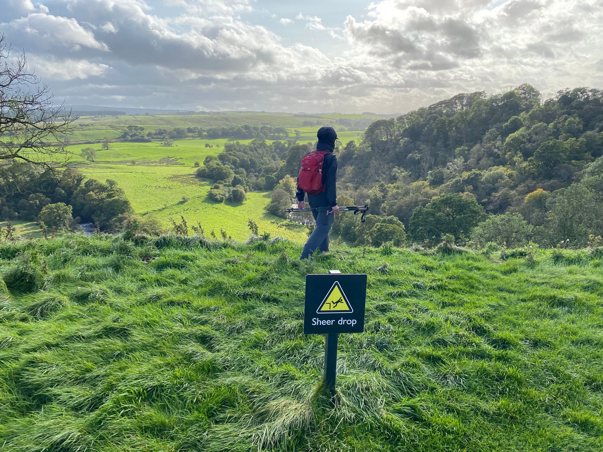
Once I descended from the crags portion of the wall, I expected the relatively flat, straight and undulating remaining portion of her path to be easy and fast going.
However, the path continued to be challenging with muddy indented portions that required care and sometimes a circulus way around in order not to sink too deep into the muck.
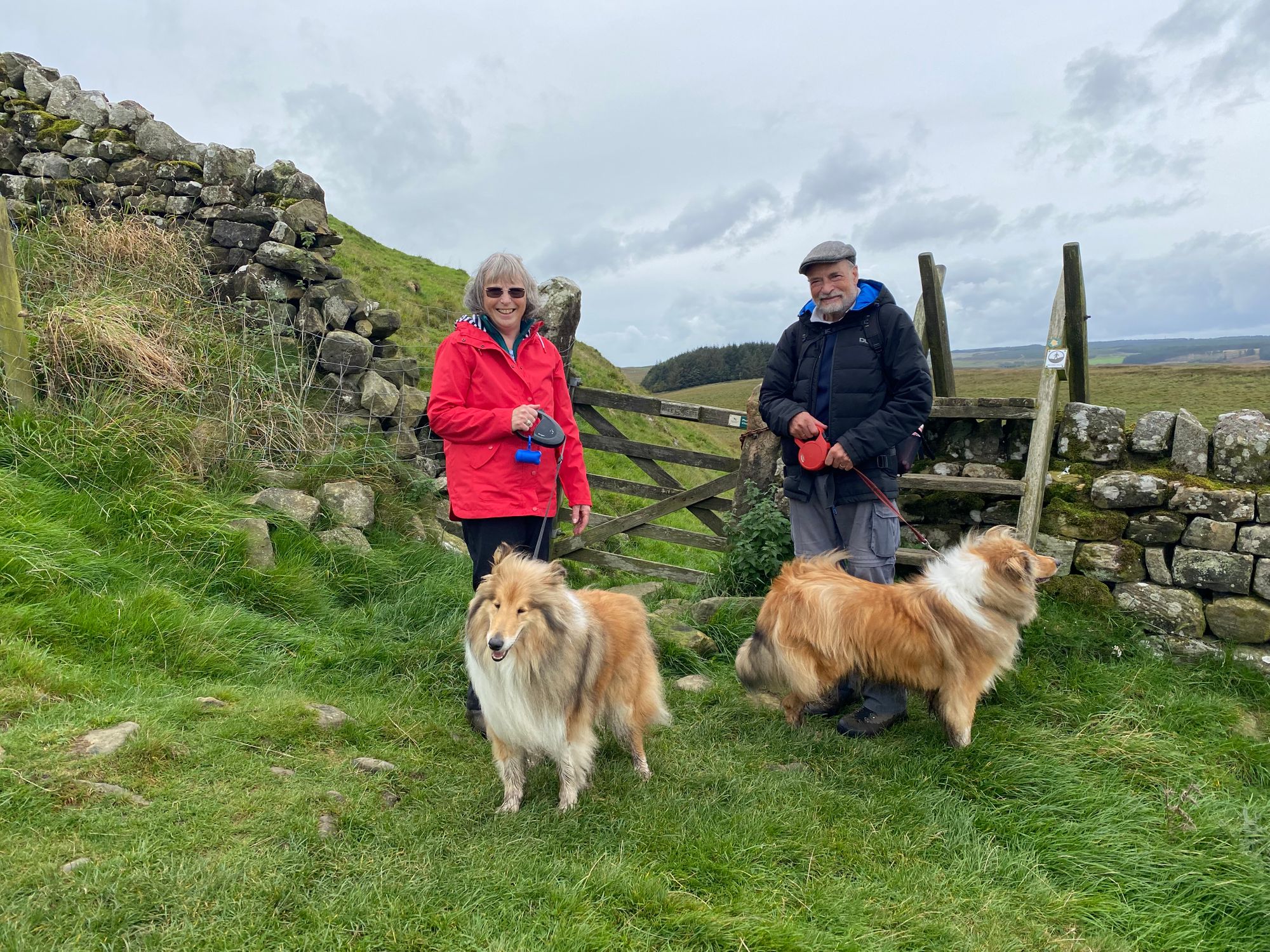
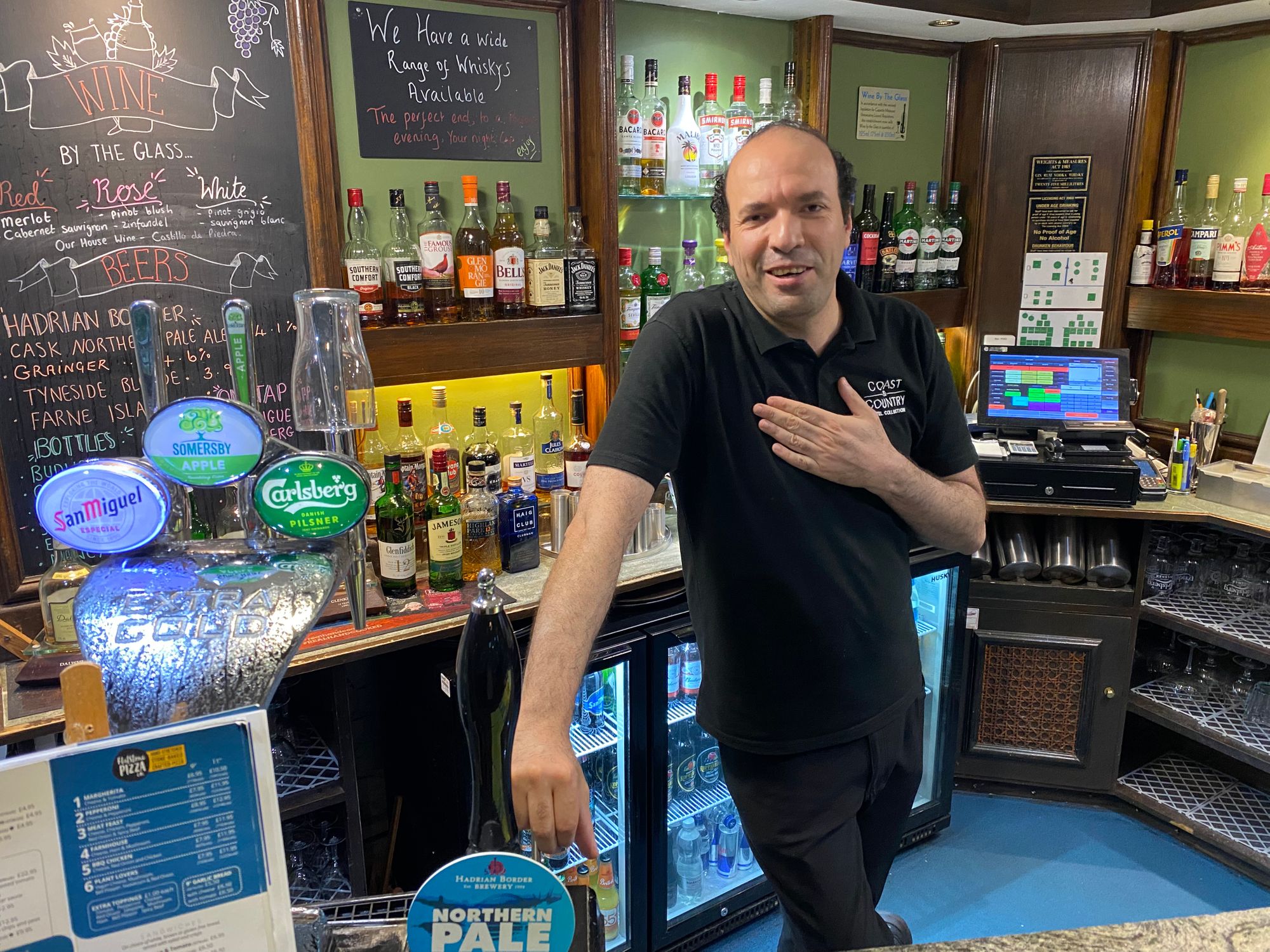
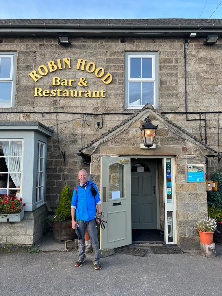
I headed out from Housesteads Fort on my own. Tom, Rebecca and Meghan wanted to spend more time exploring the fort, and I knew that Al could make some time when he moved on from Housesteads. I tried to make it to Chollerford where I had been told the Egyptian bartender at the George Hotel could arrange taxi transportation. I received a call from Al saying that they had been able to secure transportation (hitching a ride as no taxis were available) and to meet them on the road. I managed to climb a fence and they picked me up. After a refreshing beer at the bar, Issam, the Egyptian bartender secured us a taxi to take us to the Robin Hood Inn where Al and I were booked for two nights. Tom, Rebecca and Meghan would be staying nearby at Hygge.
Another rewarding, long and tough day on the wall. I was holding up well though concerned about my big toes. Al had provided me with tape and it was keeping potential blisters at bay.

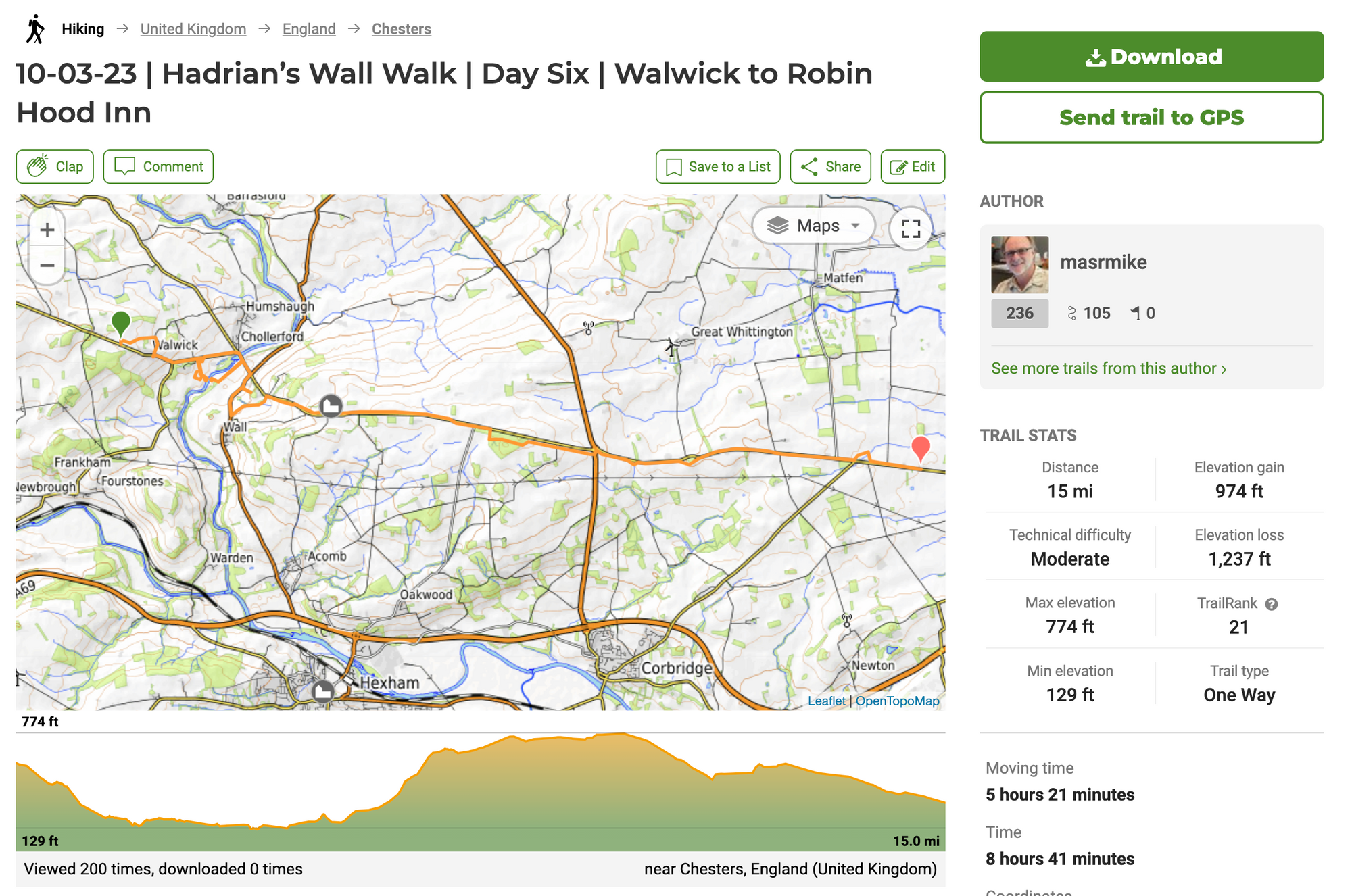
Day Six | 03 October | Walwick to Robin Hood Inn
We all piled into a cab at 9am. Tom, Rebecca and Meghan would be dropped off first at Chesters Fort and museum. Then myself where I was picked up yesterday near Walwick. And finally Al at the of Brocolitia Fort where, he had arranged to hitch a ride. Al and I were determined to complete the wall walk and would need to put in a long day.
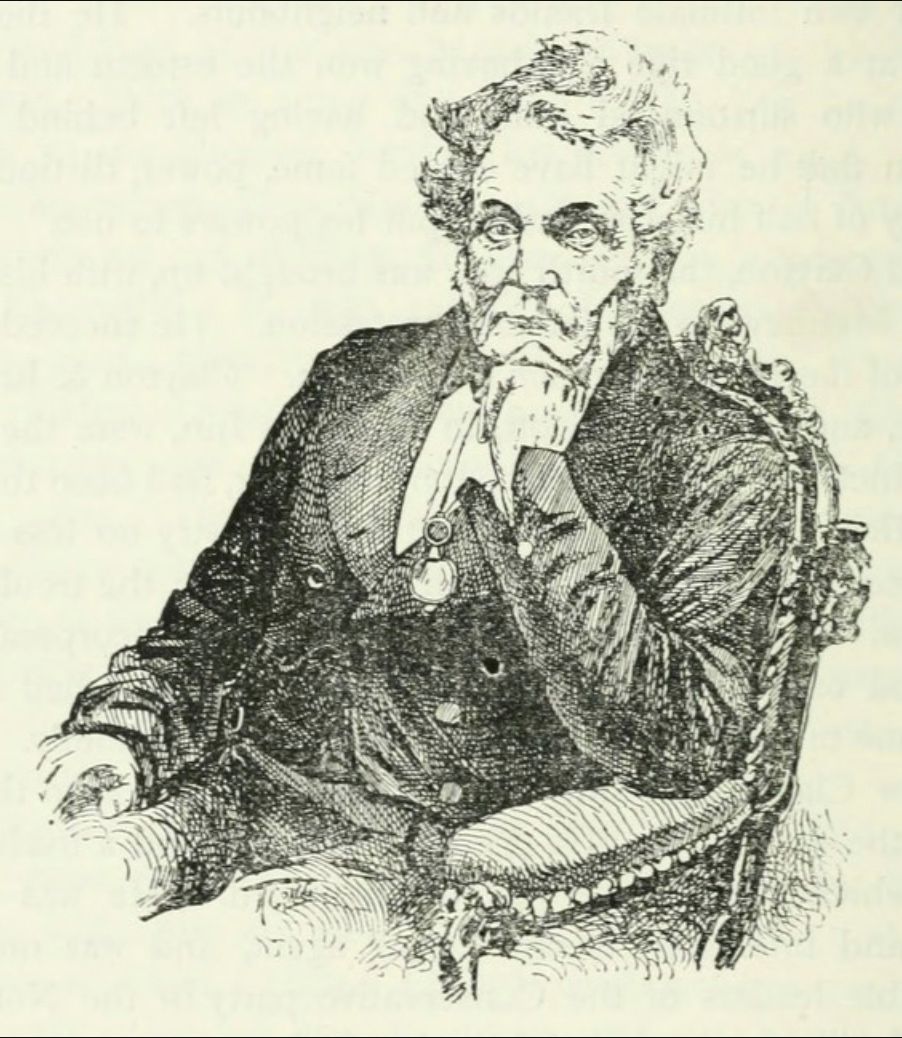
Wealthy English lawyer John Clayton inherited a mansion on the site of Chesters Fort in 1832. He was curious about the ancient remains in his front yard and started to excavate the area. This led to a lifelong passion for Hadrian's Wall and with his immense wealth he subsequently bought land along the wall and excavated not only the wall itself but the forts at Housesteads and Vindolanda.
Al and I headed out of Chesters at 1pm. We had a long day in front of us.
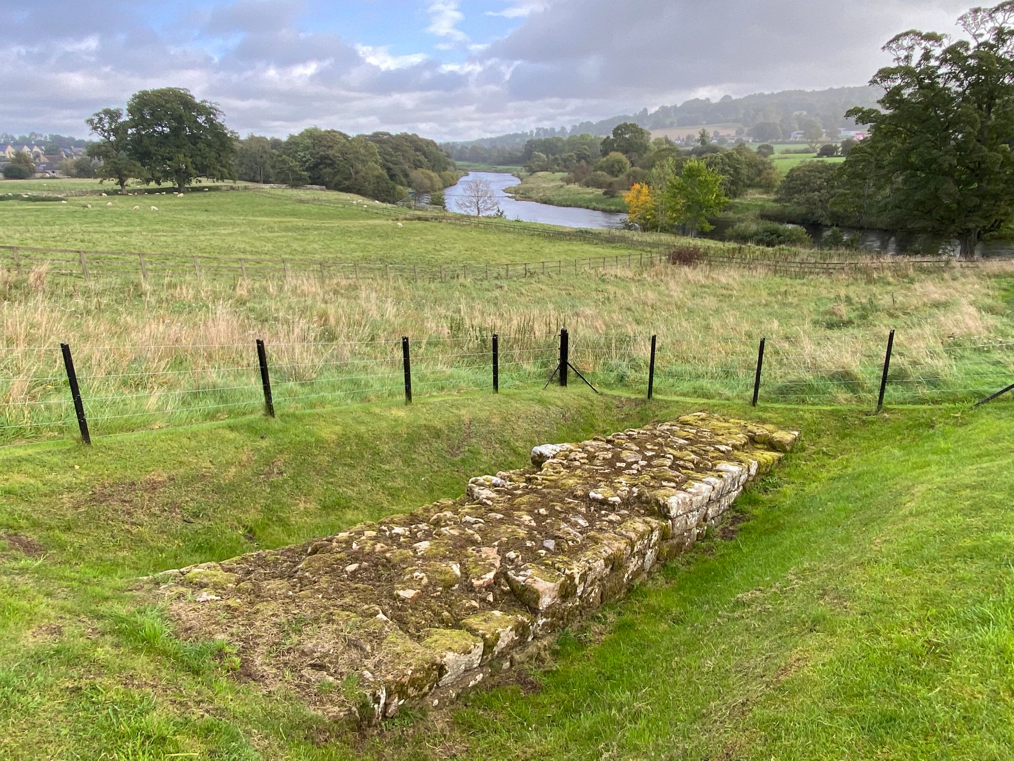
From Chesters onward there would be few places where the wall still stood. Much of it is underneath the B6138 two lane highway.
A few yards off of the path, is the historic church of St. Oswald and the Heavenfield Battle where Oswald, King of Northumbria, defeated the Welsh in 634 AD. He later was killed in battle in Wales and dismembered. He was proclaimed a saint and four places claim possession of his head including Durham Cathedral. Numerous places across Europe including St. Oswald's Church are places of veneration and pilgrimage.
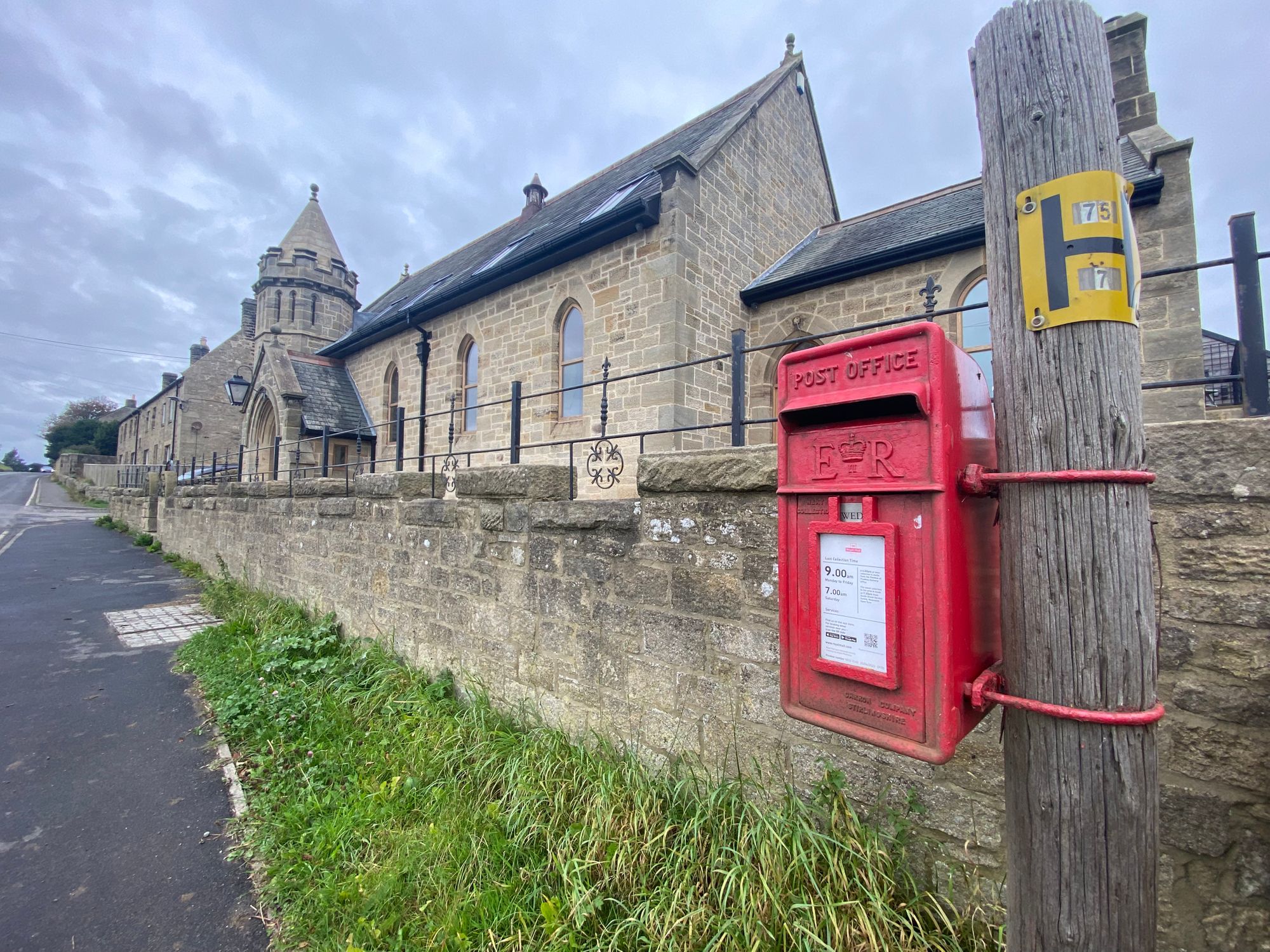
The weather was very changeable. Strong winds blowing from the west, brought showers, but mainly sunlight. Some very muddy portions of the wall where there was no way around. We pressed on and had thought about walking a few miles past Robin Hood Inn, but the sun was getting low and decided to call it a day when we arrived at the inn at 6pm. This would be our second night at the Inn. A great place, staff, restaurant and pub.

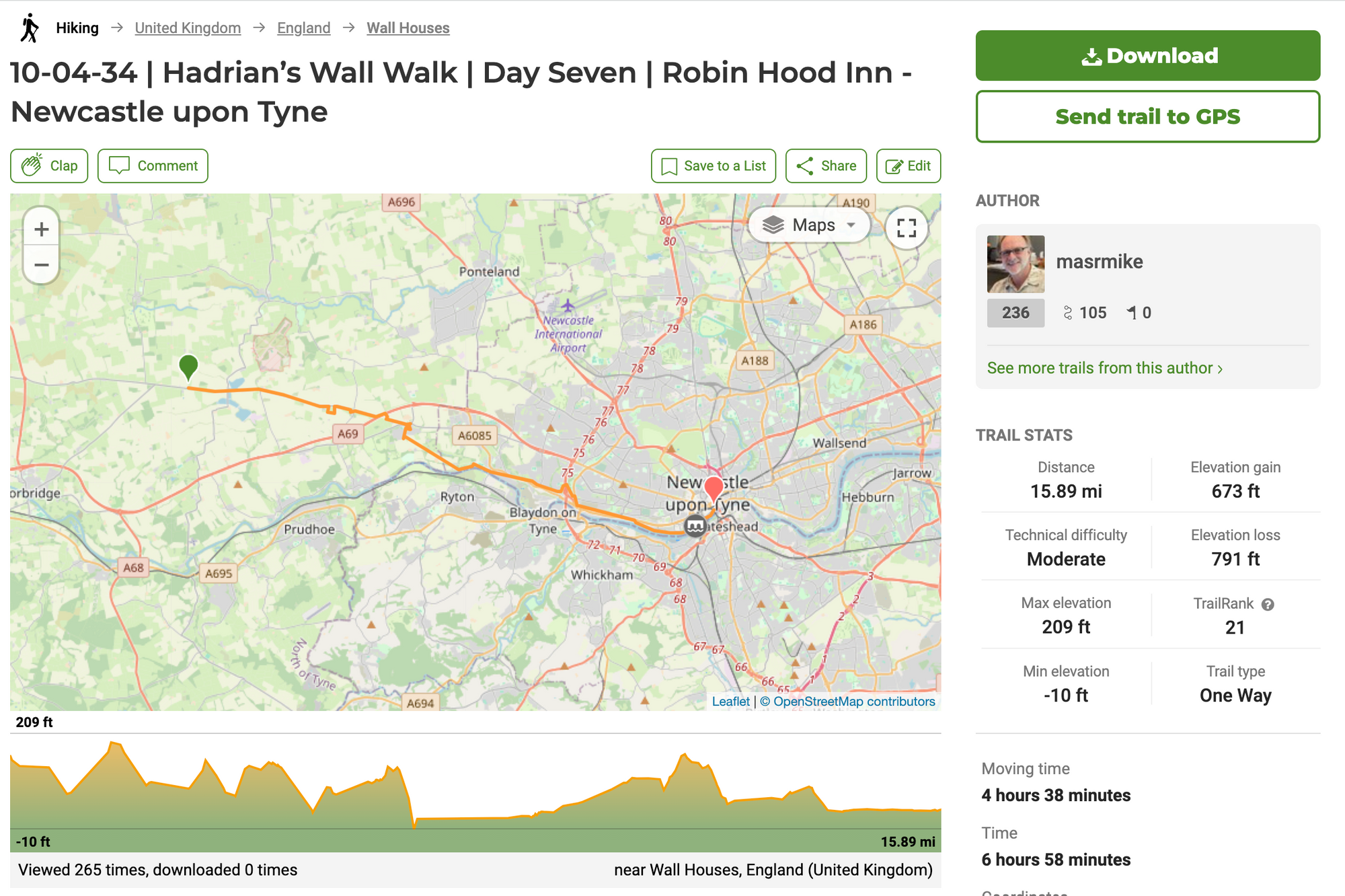
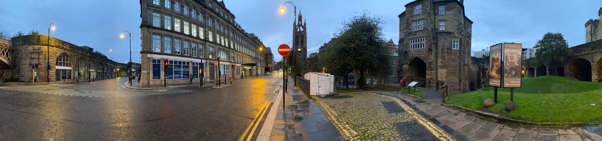
Day Seven | 04 October | Robin Hood Inn to Newcastle-upon-Tyne
Today was going to be a bit of a slog. We started out a 8:30am and it was cold and humid - maybe 40F
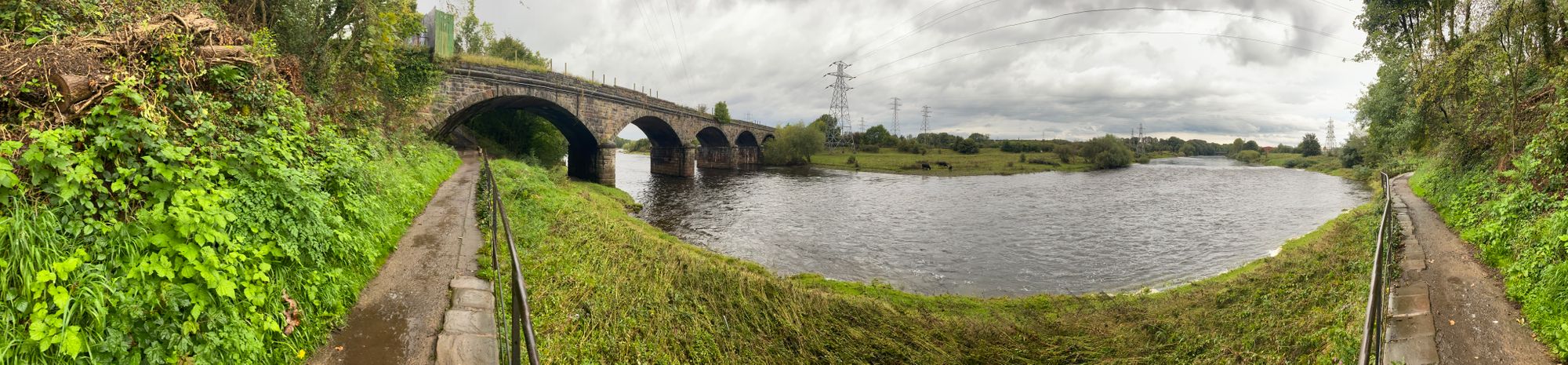
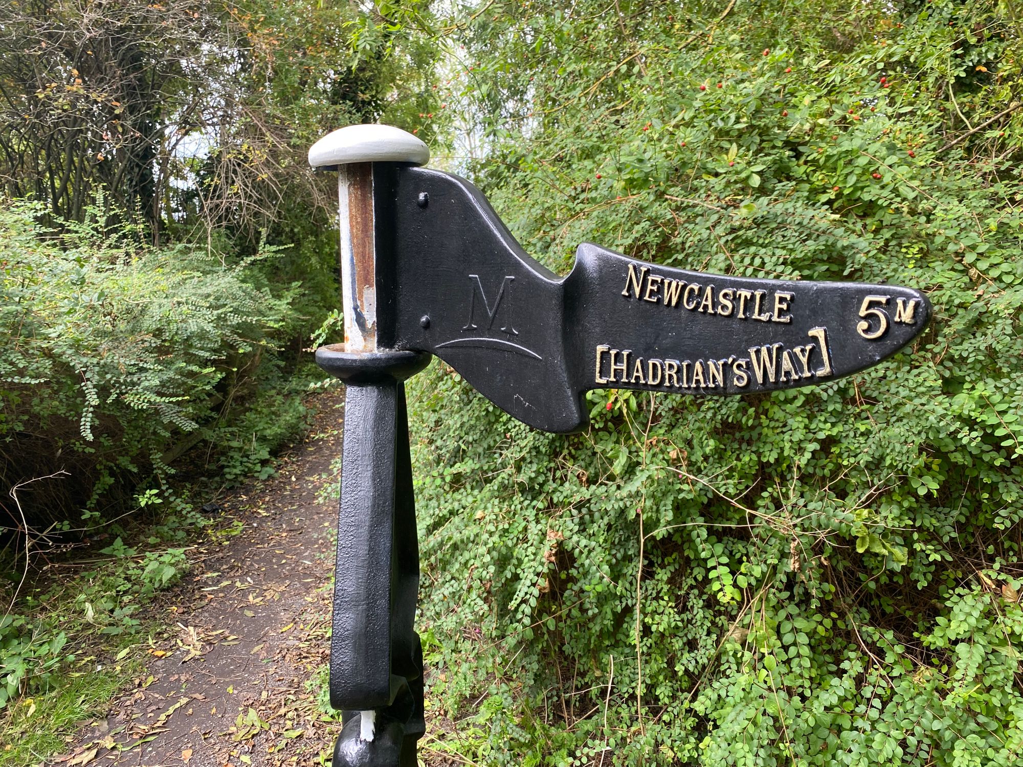
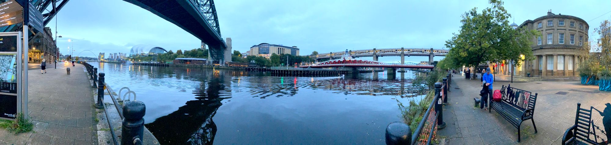
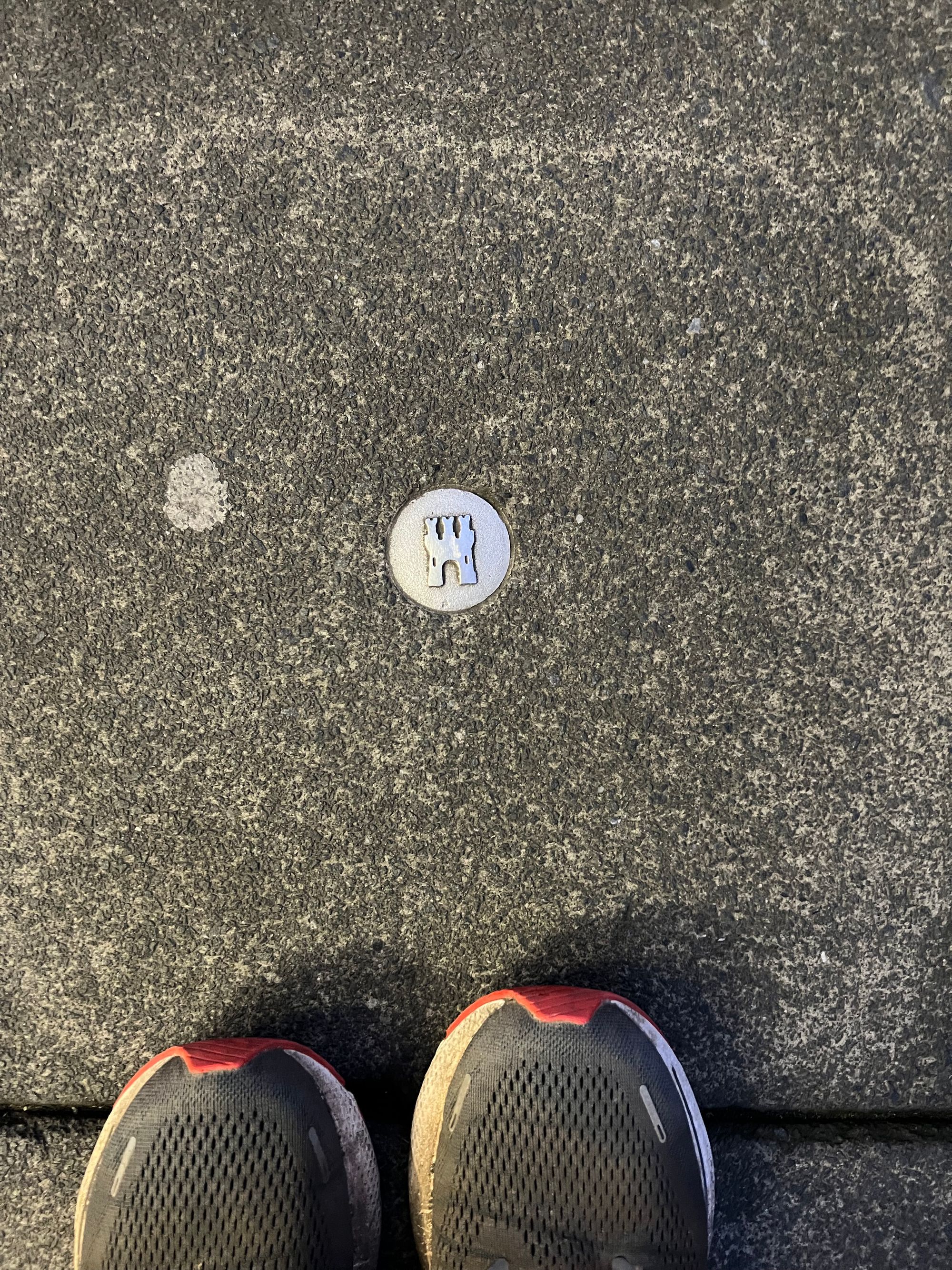
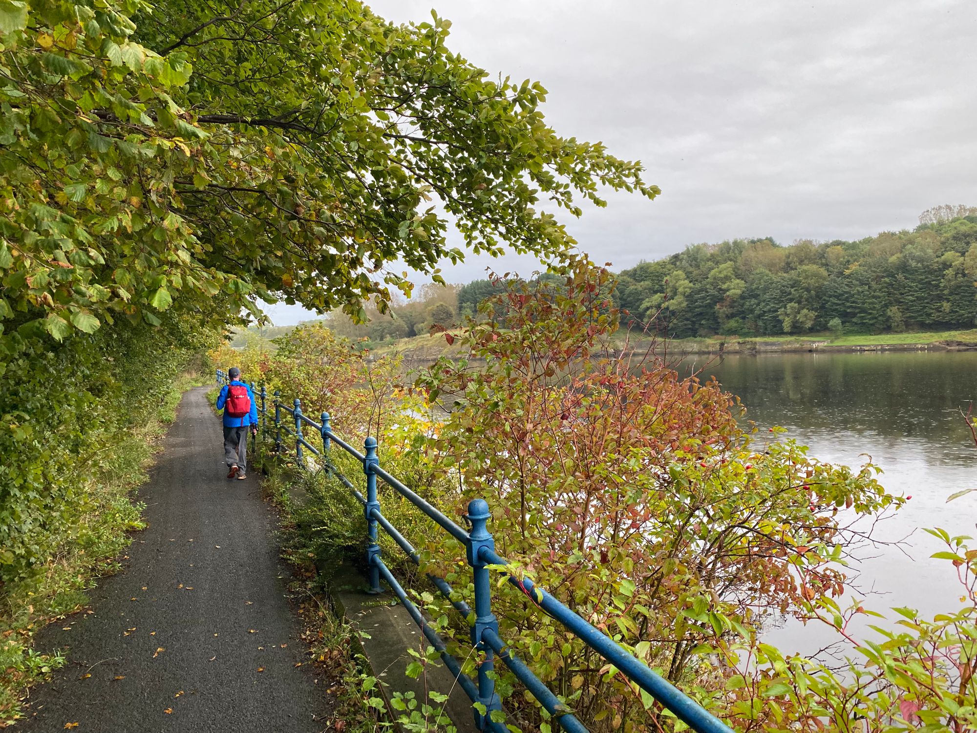
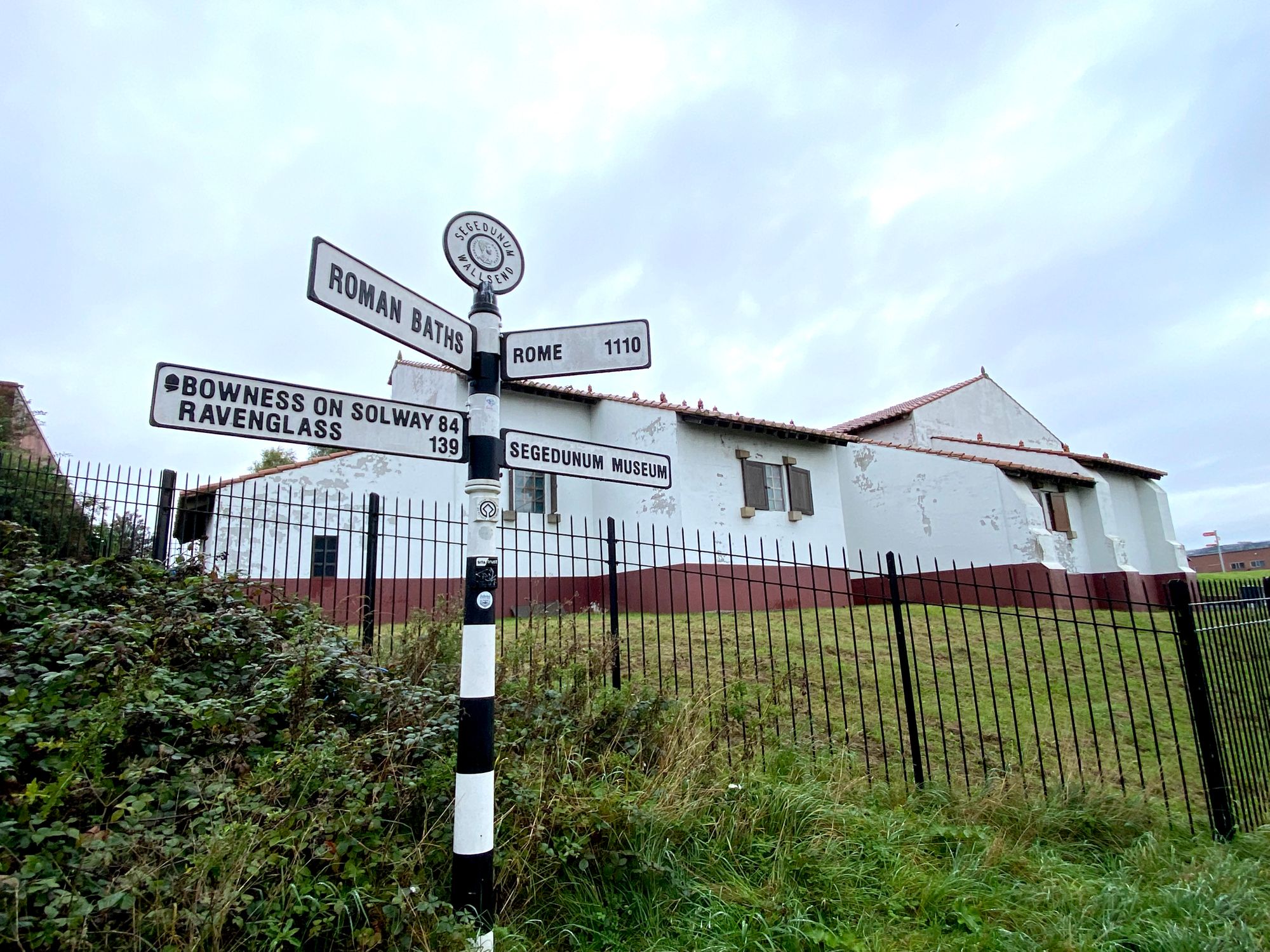
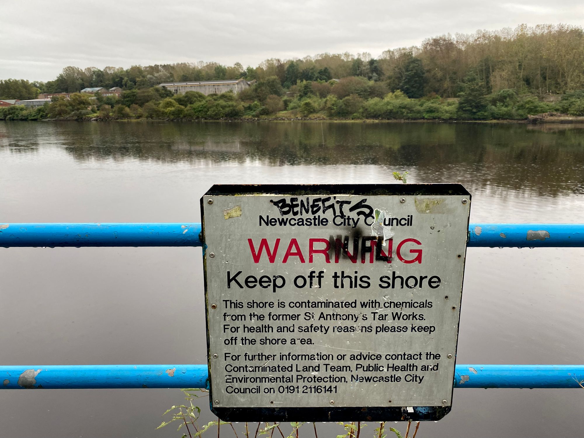
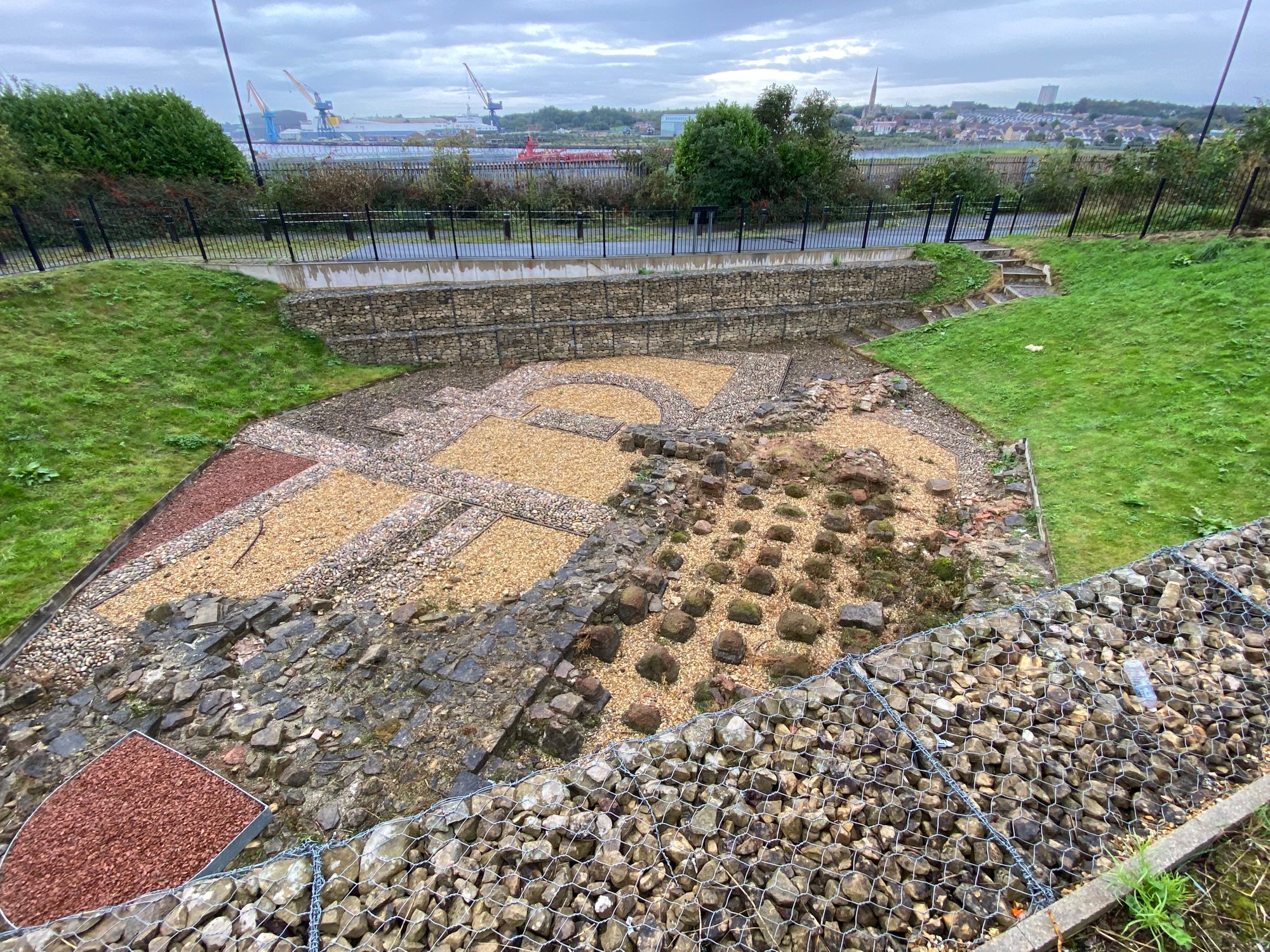
At Heddon-on-the-Wall, the path divergences significantly from the wall trajectory which enters the suburbs of Newcastle and is buried under roads. The path descends to the Tyne River which it follows pretty much the rest of the way to Wallsend (Segundum).
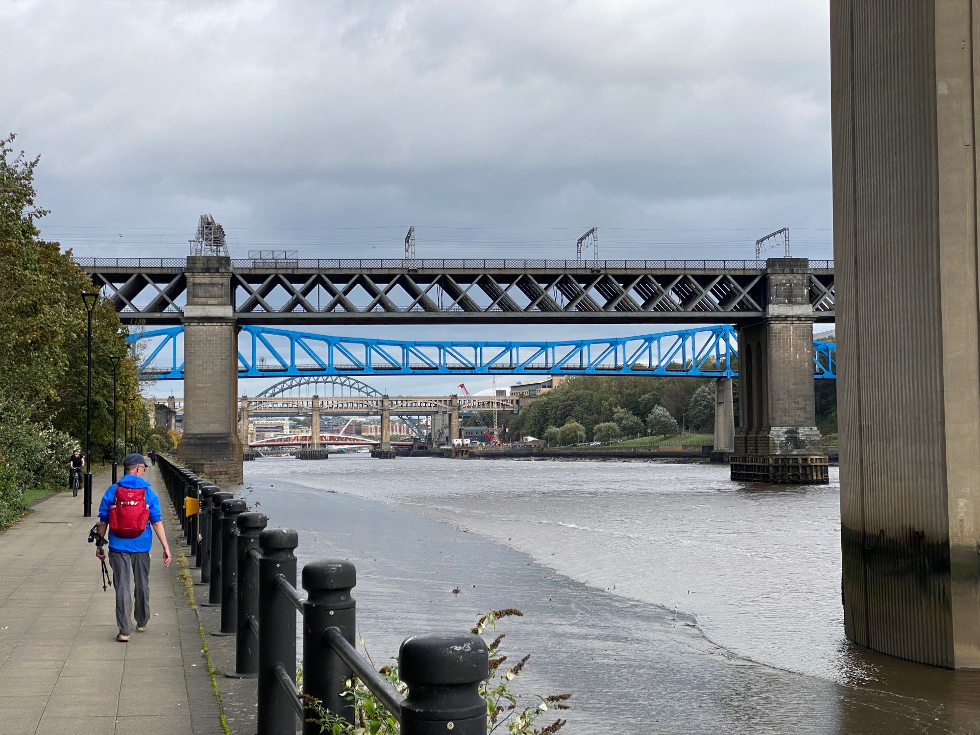
We did 16 miles and arrived at 3:30pm. We had thought of pushing on and completing the walk. There was another six miles. However, I was feeling tired... it was getting dark from the heavy overcast conditions, and my heart just wasn't in it.

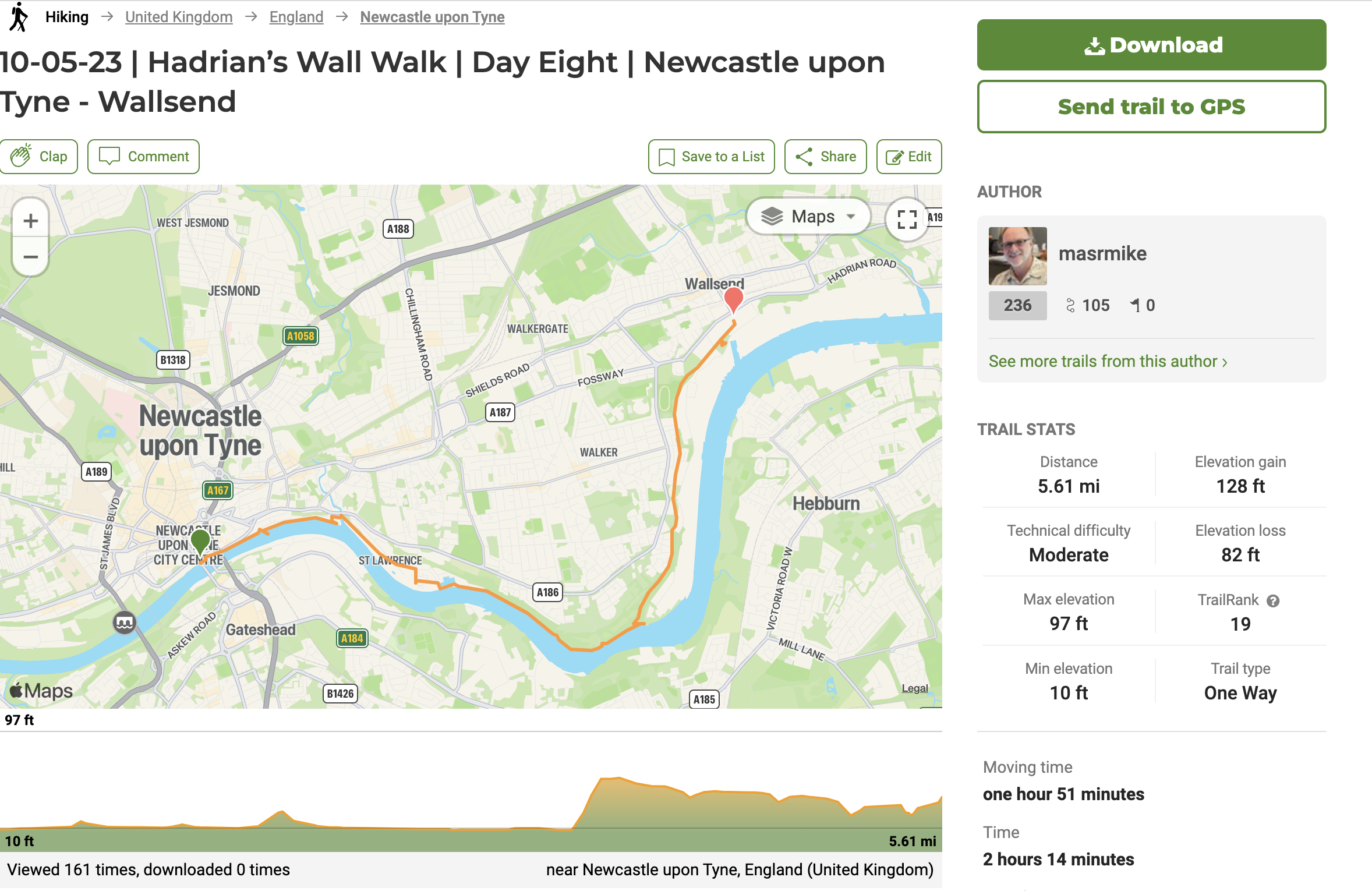
Day Eight | 05 October | Newcastle-upon-Tyne to Wallsend
We woke up early, though it was a challenge getting a good night's sleep with fans' all night celebration of the Newcastle UEFA Champions League soccer victory over Paris St. Germain.
We made good time and completed the 5.6 miles in less than two hours.
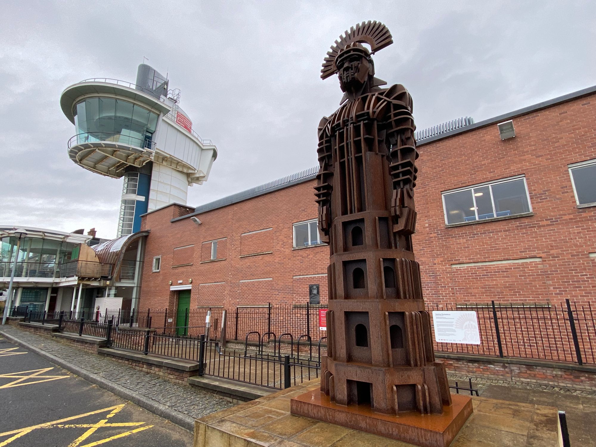
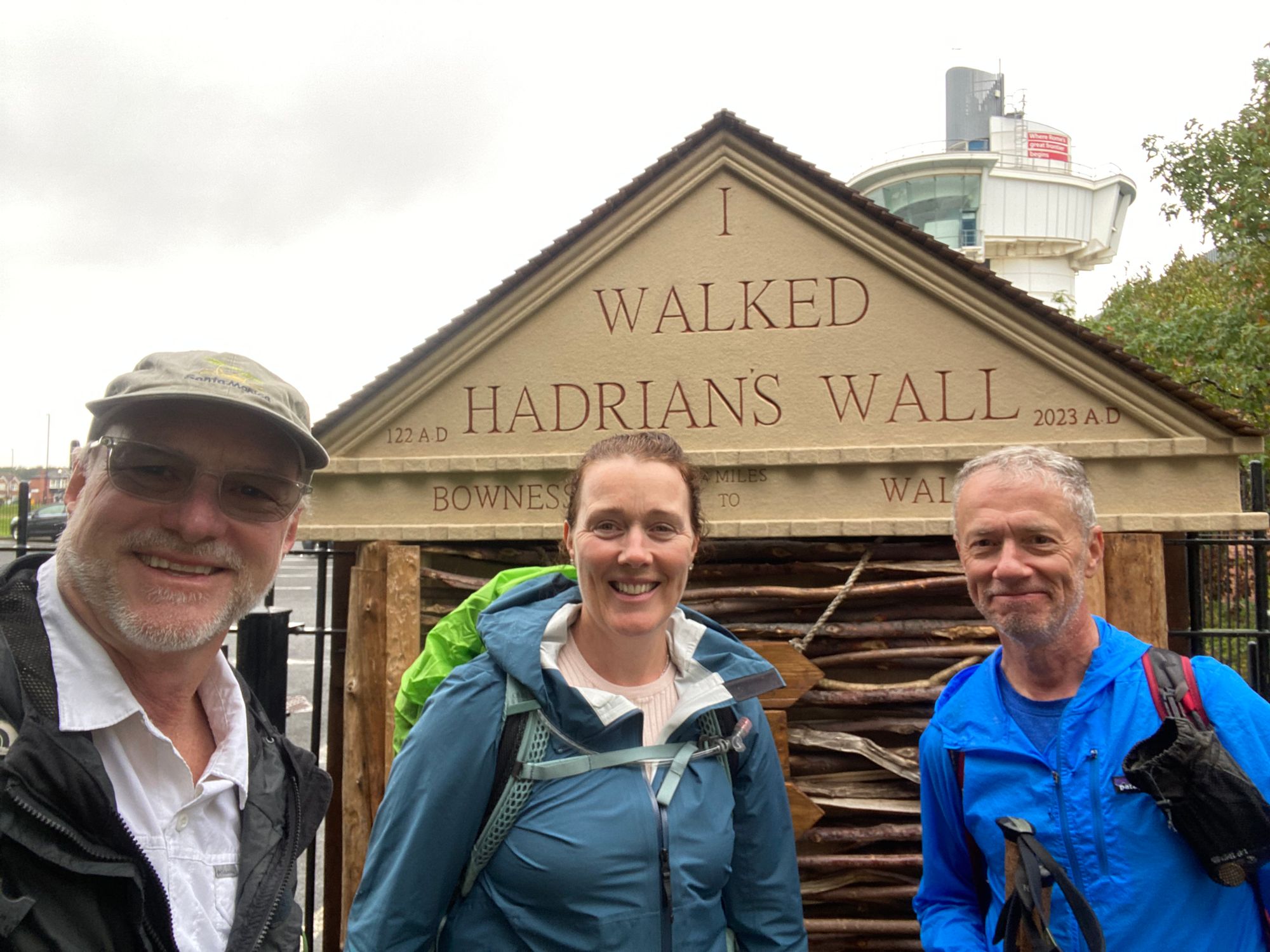
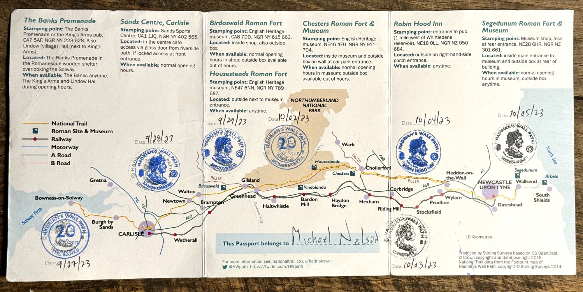
It had been nine days since we started the walk. Eight walking days, averaging 12.5 miles a day. I had done 100 miles and Al a few more than me. A great experience, not only as a wonderful way to walk history, see the English countryside and slow down my normal pace of exploring, but also as a challenge, that in my mid sixties was not only rewarding but an accomplishment.
The Walk, as with other adventures with Al will be something I will cherish for the experience, the camaraderie and the discoveries both personal and historic.

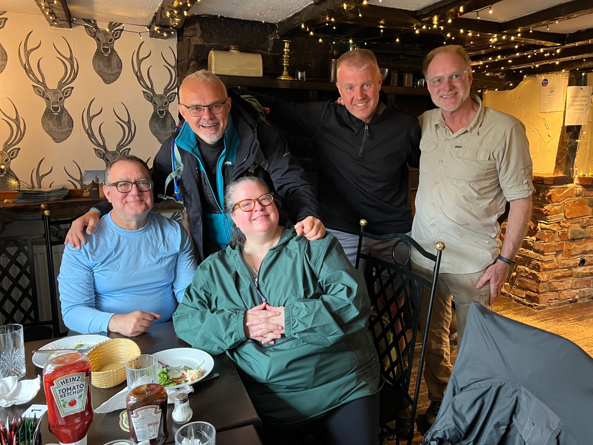
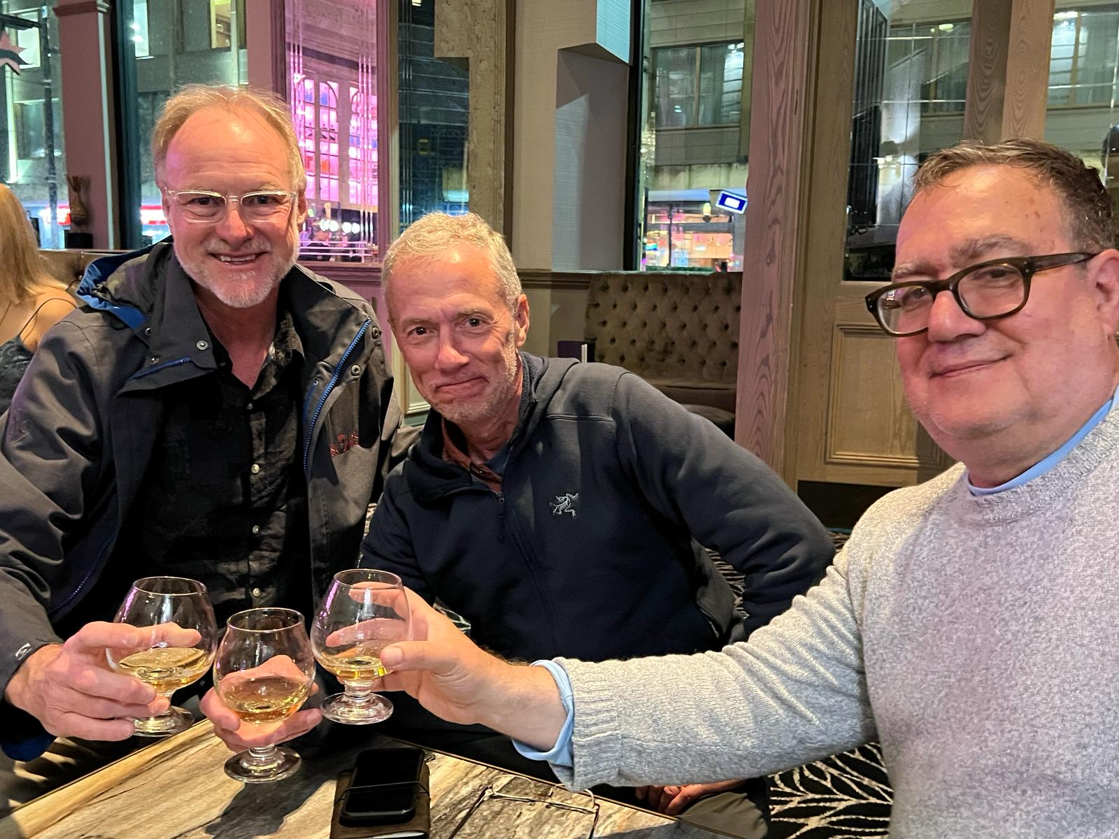
Parting photo |